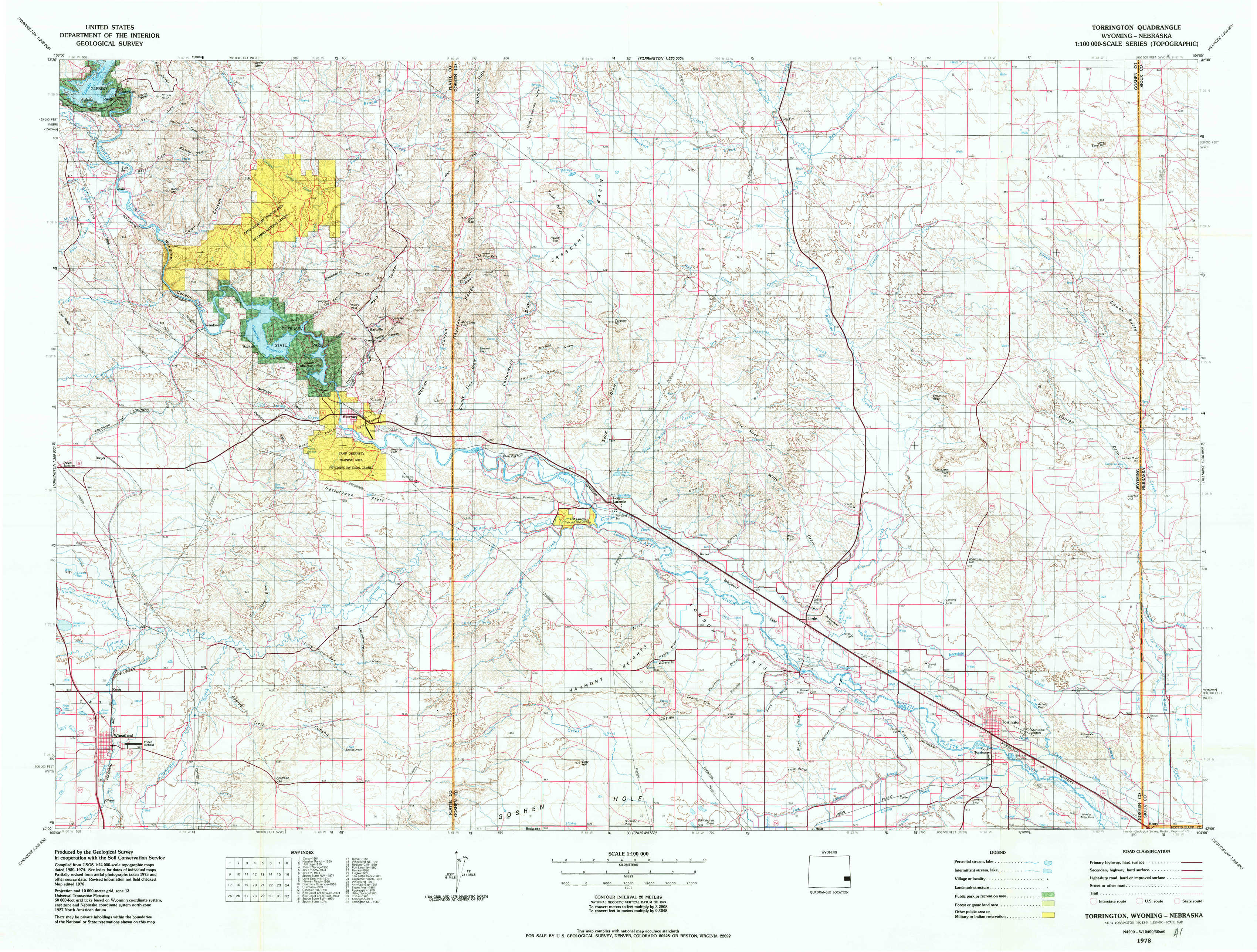
Torrington Topo Map Wyoming
To zoom in, hover over the map of Torrington
USGS Topo Map 42104a1 - 1:100,000 scale
| Topo Map Name: | Torrington |
| USGS Topo Quad ID: | 42104a1 |
| Print Size: | ca. 39" wide x 24" high |
| Southeast Coordinates: | 42° N latitude / 104° W longitude |
| Map Center Coordinates: | 42.25° N latitude / 104.5° W longitude |
| U.S. States: | WY, NE |
| Filename: | 42104a1.jpg |
| Download Map JPG Image: | Torrington topo map 1:100,000 scale |
| Map Type: | Topographic |
| Topo Series: | 30´x60´ |
| Map Scale: | 1:100,000 |
| Source of Map Images: | United States Geological Survey (USGS) |
| Alternate Map Versions: |
Torrington WY 1978, updated 1978 Download PDF Buy paper map Torrington WY 1978, updated 1978 Download PDF Buy paper map |
1:100,000 Topos surrounding Torrington
Douglas |
Lusk |
Crawford |
Laramie Peak |
Torrington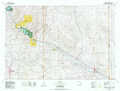 |
Hemingford |
Rock River |
Chugwater |
Scottsbluff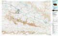 |
> Back to 42104a1 at 1:250,000 scale
> Back to U.S. Topo Maps home
1:24,000 Topo Quads covered by the spatial extent of this 100k map (Torrington)
|
Cassa 
|
Haushar Ranch 
|
Hell Gap 
|
Moore Spring 
|
Jay Em Nw 
|
Jay Em 
|
Spoon Butte Nw 
|
Lone Sand Hill 
|
|
Herman Ranch 
|
Guernsey Reservoir 
|
Guernsey 
|
Casebier Hill 
|
Red Cloud Creek West 
|
Red Cloud Creek East 
|
Spoon Butte Sw 
|
Spoon Butte 
|
|
Dwyer 
|
Wheatland Ne 
|
Register Cliff 
|
Fort Laramie 
|
Barnes 
|
Lingle 
|
Teakettle Rock 
|
Carpenter Ranch 
|
|
Wheatland 
|
Antelope Gap 
|
Eagles Nest 
|
Rock Eagle 
|
Habig Spring 
|
Cottier 
|
Torrington 
|
Torrington Se 
|