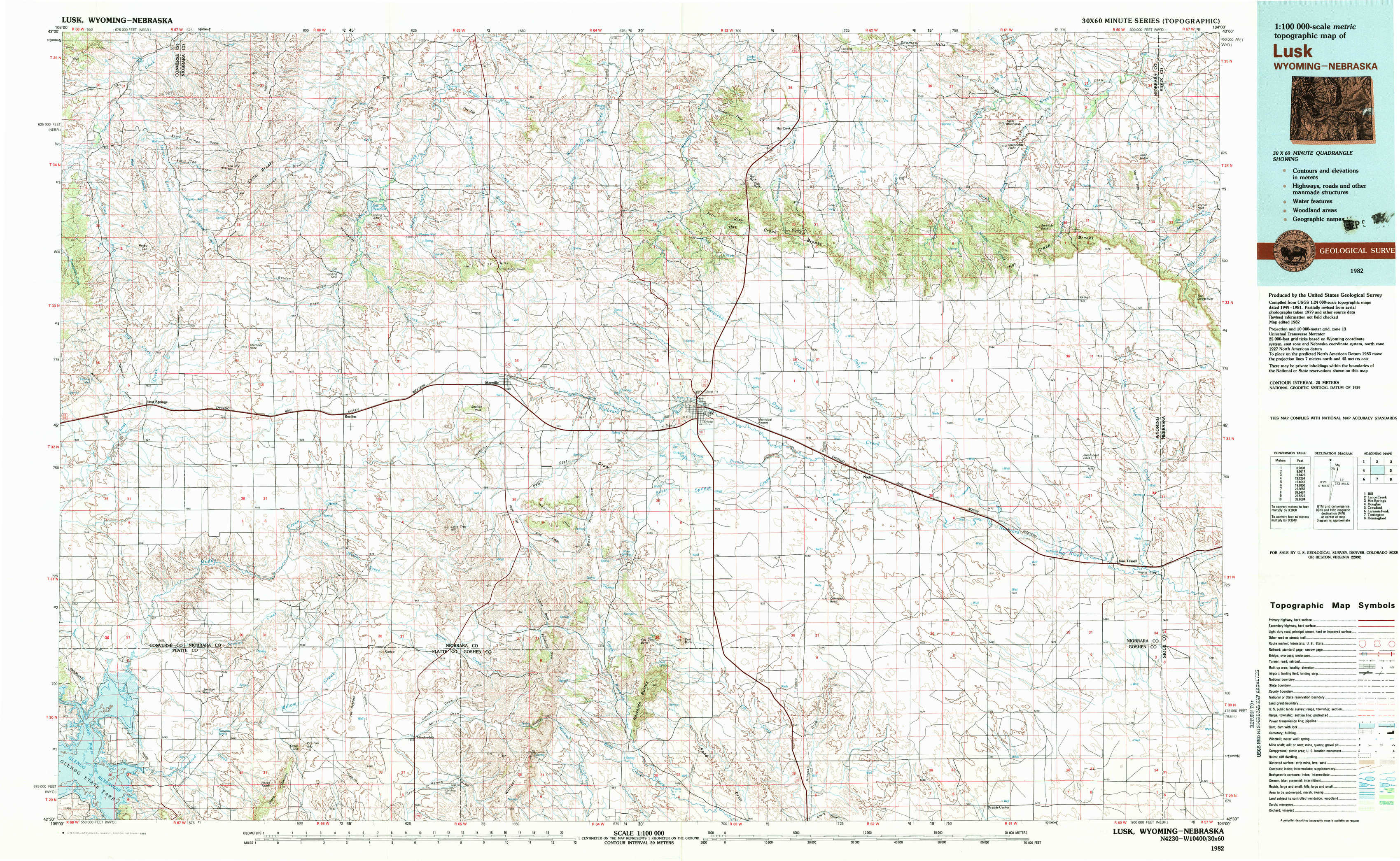
Lusk Topo Map Wyoming
To zoom in, hover over the map of Lusk
USGS Topo Map 42104e1 - 1:100,000 scale
| Topo Map Name: | Lusk |
| USGS Topo Quad ID: | 42104e1 |
| Print Size: | ca. 39" wide x 24" high |
| Southeast Coordinates: | 42.5° N latitude / 104° W longitude |
| Map Center Coordinates: | 42.75° N latitude / 104.5° W longitude |
| U.S. States: | WY, NE |
| Filename: | 42104e1.jpg |
| Download Map JPG Image: | Lusk topo map 1:100,000 scale |
| Map Type: | Topographic |
| Topo Series: | 30´x60´ |
| Map Scale: | 1:100,000 |
| Source of Map Images: | United States Geological Survey (USGS) |
| Alternate Map Versions: |
Lusk WY 1982, updated 1983 Download PDF Buy paper map |
1:100,000 Topos surrounding Lusk
Bill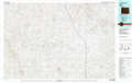 |
Lance Creek |
Hot Springs |
Douglas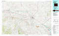 |
Lusk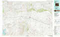 |
Crawford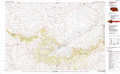 |
Laramie Peak |
Torrington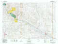 |
Hemingford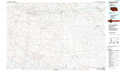 |
> Back to 42104a1 at 1:250,000 scale
> Back to U.S. Topo Maps home
1:24,000 Topo Quads covered by the spatial extent of this 100k map (Lusk)
|
Lost Springs Nw 
|
Cooley Draw 
|
Flat Top 
|
Manville Ne 
|
Hat Rock 
|
Hat Creek 
|
Shepherds Point 
|
Sherrill Hills 
|
|
Lost Springs 
|
Keeline 
|
Bills Creek 
|
Manville 
|
Lusk 
|
Signature Rock 
|
Kirtley Sw 
|
Kirtley 
|
|
Amend Ranch 
|
Prairie View School 
|
Lone Tree Hill 
|
Silver Springs 
|
Reynolds Spring 
|
Node 
|
Mcmaster Reservoir 
|
Van Tassell 
|
|
Jewel Springs 
|
Cedar Top 
|
Meadowdale 
|
Rawhide Butte West 
|
Rawhide Buttes East 
|
Hileman Draw 
|
Prairie Center 
|
Van Tassell Se 
|