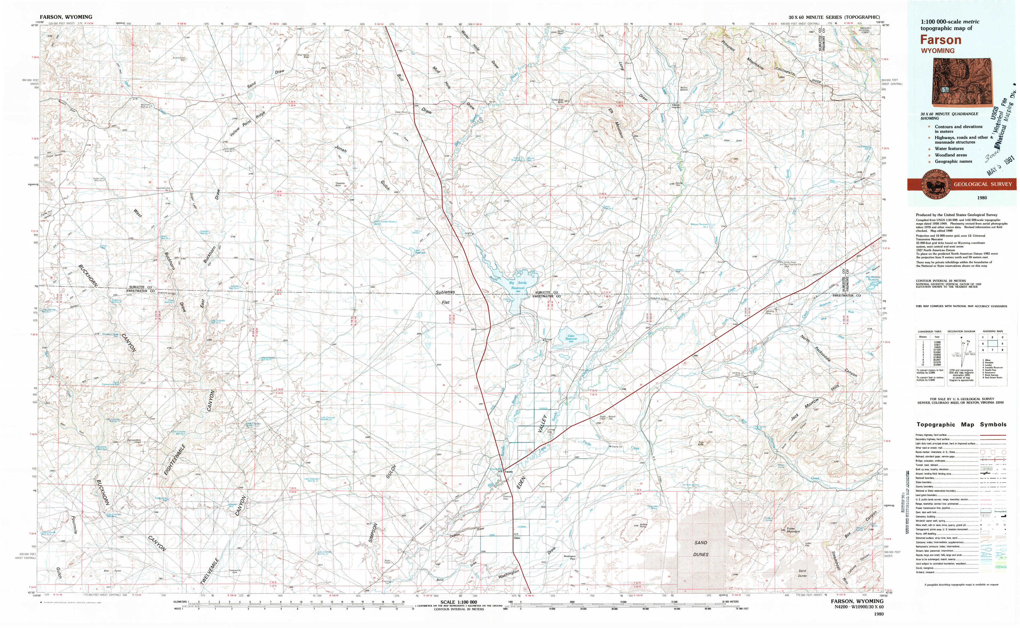
Farson Topo Map Wyoming
To zoom in, hover over the map of Farson
USGS Topo Map 42109a1 - 1:100,000 scale
| Topo Map Name: | Farson |
| USGS Topo Quad ID: | 42109a1 |
| Print Size: | ca. 39" wide x 24" high |
| Southeast Coordinates: | 42° N latitude / 109° W longitude |
| Map Center Coordinates: | 42.25° N latitude / 109.5° W longitude |
| U.S. State: | WY |
| Filename: | 42109a1.jpg |
| Download Map JPG Image: | Farson topo map 1:100,000 scale |
| Map Type: | Topographic |
| Topo Series: | 30´x60´ |
| Map Scale: | 1:100,000 |
| Source of Map Images: | United States Geological Survey (USGS) |
| Alternate Map Versions: |
Farson WY 1980, updated 1981 Download PDF Buy paper map |
1:100,000 Topos surrounding Farson
Afton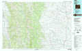 |
Pinedale |
Lander |
Fontenelle Reservoir |
Farson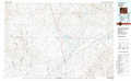 |
South Pass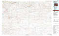 |
Kemmerer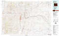 |
Rock Springs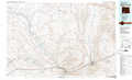 |
Red Desert Basin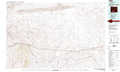 |
> Back to 42108a1 at 1:250,000 scale
> Back to U.S. Topo Maps home
1:24,000 Topo Quads covered by the spatial extent of this 100k map (Farson)
|
Sugar Loaf Nw 
|
Sugar Loaf Ne 
|
Stud Horse Butte 
|
Bull Draw 
|
Tabernacle Butte 
|
Leckie Reservoir 
|
Prospect Mountains 
|
Halls Meadow Spring 
|
|
Oasis Well 
|
Sugar Loaf 
|
Teakettle Butte 
|
Juel Spring 
|
Big Sandy Reservoir 
|
Big Sandy Reservoir Se 
|
Parting Of The Ways 
|
Hay Meadow Reservoir 
|
|
Monument Butte 
|
Monument Butte Ne 
|
Twelvemile Knoll 
|
Fourmile Knoll 
|
Eden Reservoir West 
|
Eden Reservoir East 
|
Tule Butte 
|
North Packsaddle Canyon 
|
|
Blue Forest 
|
Twelvemile Sink 
|
Simpson Gulch Sw 
|
Simpson Gulch Se 
|
Farson 
|
Fifteenmile Spring 
|
Ox Yoke Springs 
|
Essex Mountain 
|