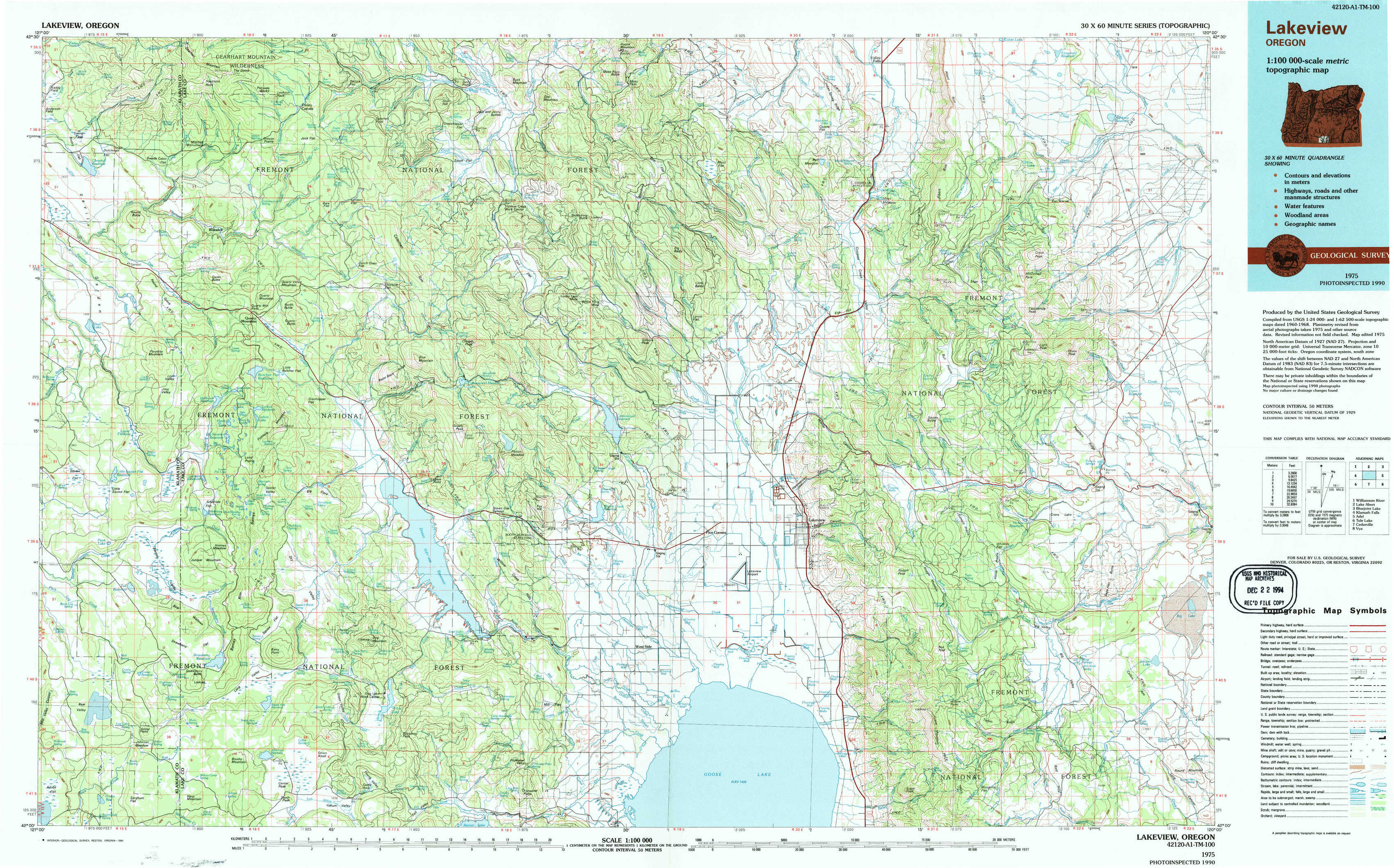
Lakeview Topo Map Oregon
To zoom in, hover over the map of Lakeview
USGS Topo Map 42120a1 - 1:100,000 scale
| Topo Map Name: | Lakeview |
| USGS Topo Quad ID: | 42120a1 |
| Print Size: | ca. 39" wide x 24" high |
| Southeast Coordinates: | 42° N latitude / 120° W longitude |
| Map Center Coordinates: | 42.25° N latitude / 120.5° W longitude |
| U.S. State: | OR |
| Filename: | 42120a1.jpg |
| Download Map JPG Image: | Lakeview topo map 1:100,000 scale |
| Map Type: | Topographic |
| Topo Series: | 30´x60´ |
| Map Scale: | 1:100,000 |
| Source of Map Images: | United States Geological Survey (USGS) |
| Alternate Map Versions: |
Lakeview OR 1975, updated 1994 Download PDF Buy paper map |
1:100,000 Topos surrounding Lakeview
Williamson River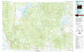 |
Lake Abert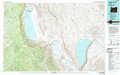 |
Bluejoint Lake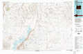 |
Klamath Falls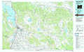 |
Lakeview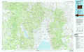 |
Adel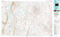 |
Tulelake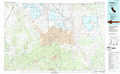 |
Cedarville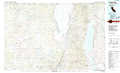 |
Vya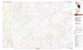 |
> Back to 42120a1 at 1:250,000 scale
> Back to U.S. Topo Maps home
1:24,000 Topo Quads covered by the spatial extent of this 100k map (Lakeview)
|
Campbell Reservoir 
|
Gearhart Mountain 
|
Coleman Point 
|
Shoestring Butte 
|
Clover Flat 
|
Valley Falls 
|
Little Honey Creek 
|
Drake Peak Ne 
|
|
Paradise Mountain 
|
Quartz Valley 
|
Cougar Peak 
|
Cox Flat 
|
Big Baldy 
|
Crooked Creek Valley 
|
Crook Peak 
|
Drake Peak 
|
|
Barnes Valley 
|
Arkansas Flat 
|
Drews Reservoir 
|
Drews Gap 
|
Lakeview Airport 
|
Lakeview 
|
Horse Prairie 
|
Sage Hen Butte 
|
|
Antler Point 
|
Strawberry Butte 
|
Dog Lake 
|
Fitzwater Point 
|
West Side 
|
Crane Creek 
|
Crane Mountain 
|
Collins Rim 
|