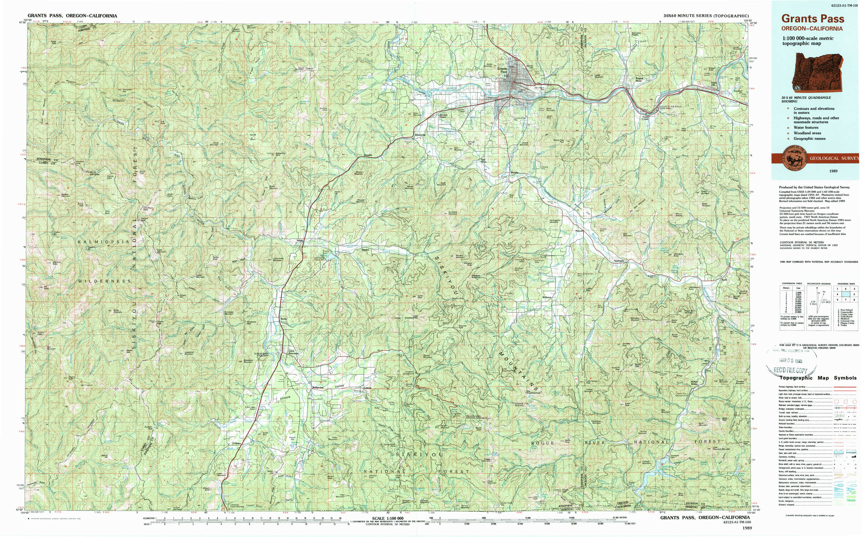
Grants Pass Topo Map Oregon
To zoom in, hover over the map of Grants Pass
USGS Topo Map 42123a1 - 1:100,000 scale
| Topo Map Name: | Grants Pass |
| USGS Topo Quad ID: | 42123a1 |
| Print Size: | ca. 39" wide x 24" high |
| Southeast Coordinates: | 42° N latitude / 123° W longitude |
| Map Center Coordinates: | 42.25° N latitude / 123.5° W longitude |
| U.S. States: | OR, CA |
| Filename: | 42123a1.jpg |
| Download Map JPG Image: | Grants Pass topo map 1:100,000 scale |
| Map Type: | Topographic |
| Topo Series: | 30´x60´ |
| Map Scale: | 1:100,000 |
| Source of Map Images: | United States Geological Survey (USGS) |
| Alternate Map Versions: |
Grants Pass OR 1989, updated 1990 Download PDF Buy paper map |
1:100,000 Topos surrounding Grants Pass
Port Orford |
Canyonville |
Crater Lake |
Gold Beach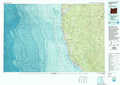 |
Grants Pass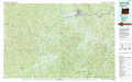 |
Medford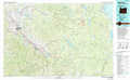 |
Crescent City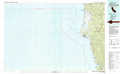 |
Happy Camp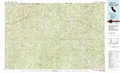 |
Yreka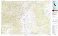 |
> Back to 42122a1 at 1:250,000 scale
> Back to U.S. Topo Maps home
1:24,000 Topo Quads covered by the spatial extent of this 100k map (Grants Pass)
|
Silver Peak 
|
York Butte 
|
Chrome Ridge 
|
Onion Mountain 
|
Wilderville 
|
Grants Pass 
|
Rogue River 
|
Gold Hill 
|
|
Tincup Peak 
|
Pearsoll Peak 
|
Eight Dollar Mountain 
|
Selma 
|
Murphy Mountain 
|
Murphy 
|
Applegate 
|
Mount Isabelle 
|
|
Chetco Peak 
|
Josephine Mountain 
|
Cave Junction 
|
Holland 
|
Kerby Peak 
|
Williams 
|
Tallowbox Mountain 
|
Ruch 
|
|
Biscuit Hill 
|
Buckskin Peak 
|
O'Brien 
|
Takilma 
|
Oregon Caves 
|
Grayback Mountain 
|
Carberry Creek 
|
Squaw Lakes 
|