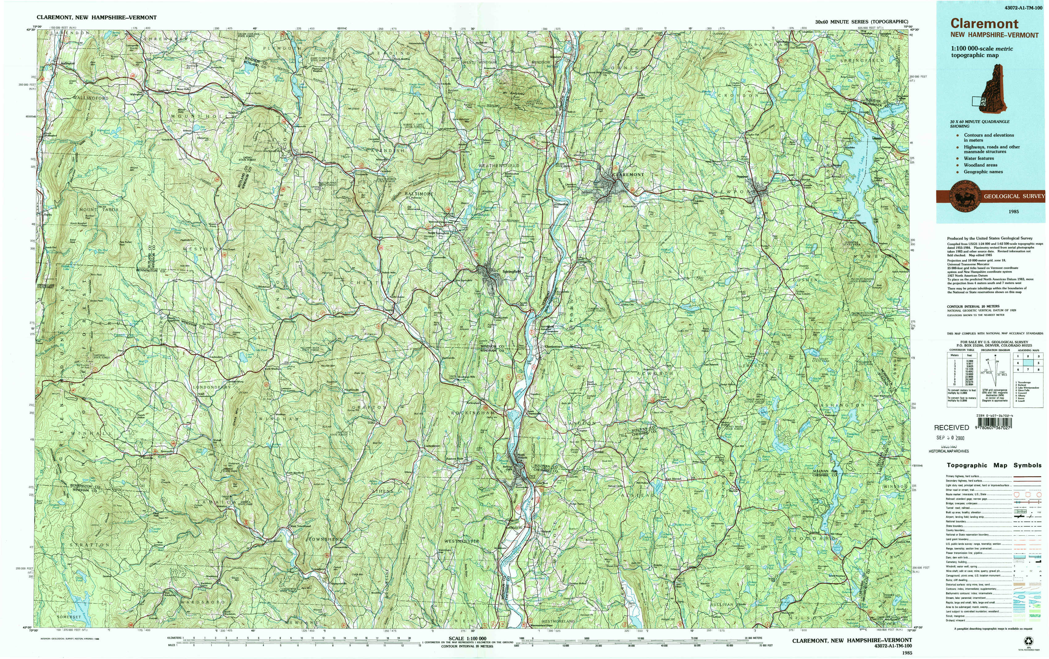
Claremont Topo Map New Hampshire
To zoom in, hover over the map of Claremont
USGS Topo Map 43072a1 - 1:100,000 scale
| Topo Map Name: | Claremont |
| USGS Topo Quad ID: | 43072a1 |
| Print Size: | ca. 39" wide x 24" high |
| Southeast Coordinates: | 43° N latitude / 72° W longitude |
| Map Center Coordinates: | 43.25° N latitude / 72.5° W longitude |
| U.S. States: | NH, VT |
| Filename: | 43072a1.jpg |
| Download Map JPG Image: | Claremont topo map 1:100,000 scale |
| Map Type: | Topographic |
| Topo Series: | 30´x60´ |
| Map Scale: | 1:100,000 |
| Source of Map Images: | United States Geological Survey (USGS) |
| Alternate Map Versions: |
Claremont NH 1985, updated 1986 Download PDF Buy paper map Claremont NH 1985, updated 1988 Download PDF Buy paper map |
1:100,000 Topos surrounding Claremont
Ticonderoga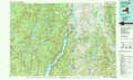 |
Rutland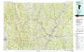 |
Lake Winnipesaukee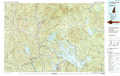 |
Glens Falls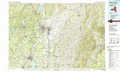 |
Claremont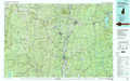 |
Concord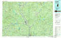 |
Albany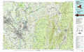 |
Keene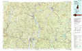 |
Lowell |
> Back to 43072a1 at 1:250,000 scale
> Back to U.S. Topo Maps home
1:24,000 Topo Quads covered by the spatial extent of this 100k map (Claremont)
|
Wallingford 
|
Mount Holly 
|
Ludlow 
|
Cavendish 
|
Claremont North 
|
Sunapee Lake North 
|
||
|
Danby 
|
Weston 
|
Andover 
|
Chester 
|
Claremont South 
|
Sunapee Lakes 
|
||
|
Peru 
|
Londonderry 
|
Saxtons River 
|
Alstead 
|
Washington 
|
|||
|
Stratton Mountain 
|
Jamaica 
|
Westminster West 
|
Gilsum 
|
Stoddard 
|