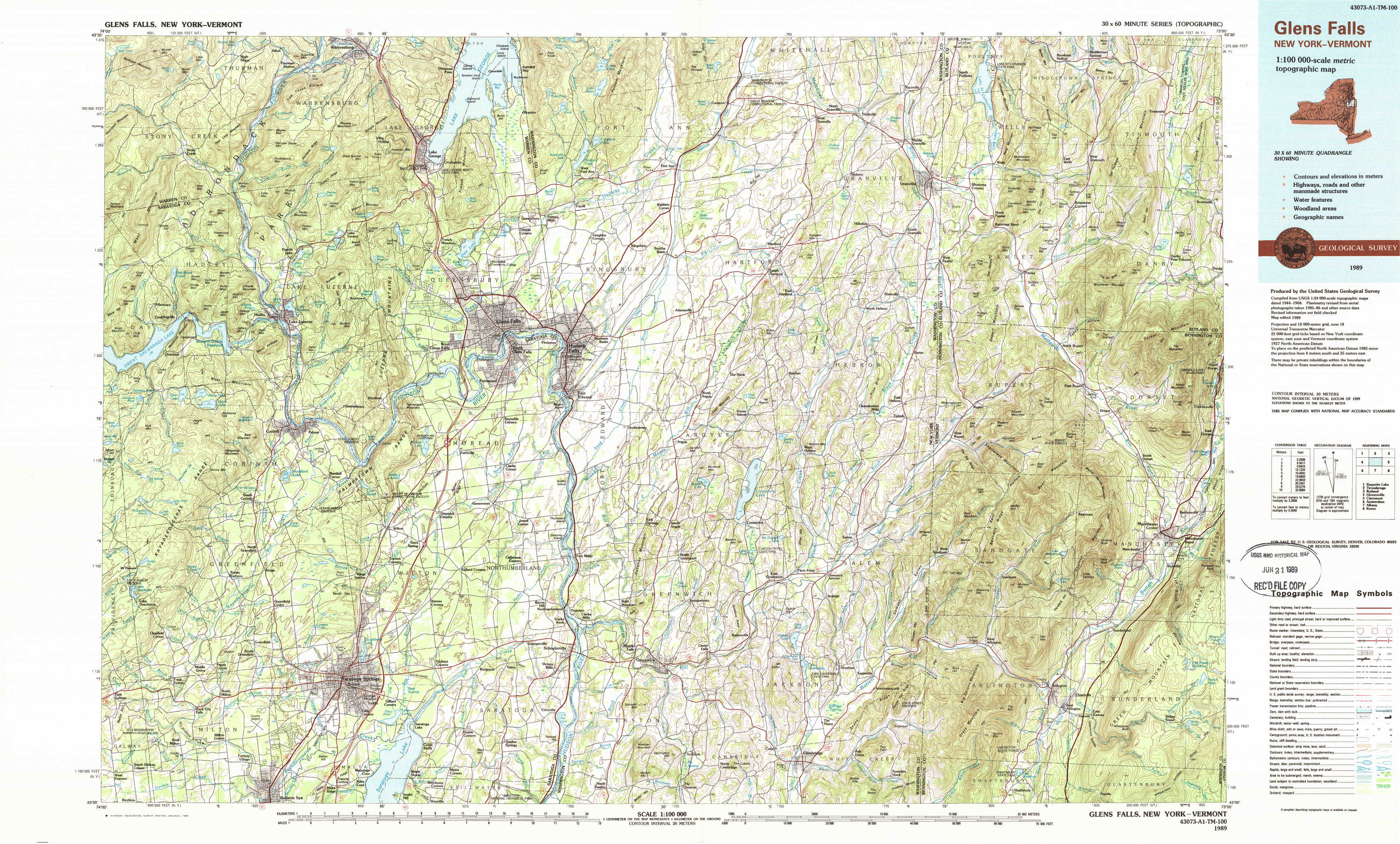
Glens Falls Topo Map New York
To zoom in, hover over the map of Glens Falls
USGS Topo Map 43073a1 - 1:100,000 scale
| Topo Map Name: | Glens Falls |
| USGS Topo Quad ID: | 43073a1 |
| Print Size: | ca. 39" wide x 24" high |
| Southeast Coordinates: | 43° N latitude / 73° W longitude |
| Map Center Coordinates: | 43.25° N latitude / 73.5° W longitude |
| U.S. States: | NY, VT |
| Filename: | 43073a1.jpg |
| Download Map JPG Image: | Glens Falls topo map 1:100,000 scale |
| Map Type: | Topographic |
| Topo Series: | 30´x60´ |
| Map Scale: | 1:100,000 |
| Source of Map Images: | United States Geological Survey (USGS) |
| Alternate Map Versions: |
Glens Falls NY 1986, updated 1986 Download PDF Buy paper map Glens Falls NY 1986, updated 1989 Download PDF Buy paper map Glens Falls NY 1989, updated 1989 Download PDF Buy paper map |
1:100,000 Topos surrounding Glens Falls
Raquette Lake |
Ticonderoga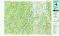 |
Rutland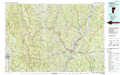 |
Gloversville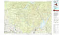 |
Glens Falls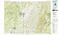 |
Claremont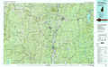 |
Amsterdam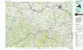 |
Albany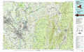 |
Keene |
> Back to 43072a1 at 1:250,000 scale
> Back to U.S. Topo Maps home
1:24,000 Topo Quads covered by the spatial extent of this 100k map (Glens Falls)
|
Stony Creek 
|
Warrensburg 
|
Lake George 
|
Putnam Mountain 
|
Fort Ann 
|
Granville 
|
Wells 
|
Middletown Springs 
|
|
Conklingville 
|
Lake Luzerne 
|
Glens Falls 
|
Hudson Falls 
|
Hartford 
|
West Pawlet 
|
Pawlet 
|
Dorset 
|
|
Porter Corners 
|
Corinth 
|
Gansevoort 
|
Fort Miller 
|
Cossayuna 
|
Salem 
|
West Rupert 
|
Manchester 
|
|
Middle Grove 
|
Saratoga Springs 
|
Quaker Springs 
|
Schuylerville 
|
Cambridge 
|
Shushan 
|
Arlington 
|
Sunderland 
|