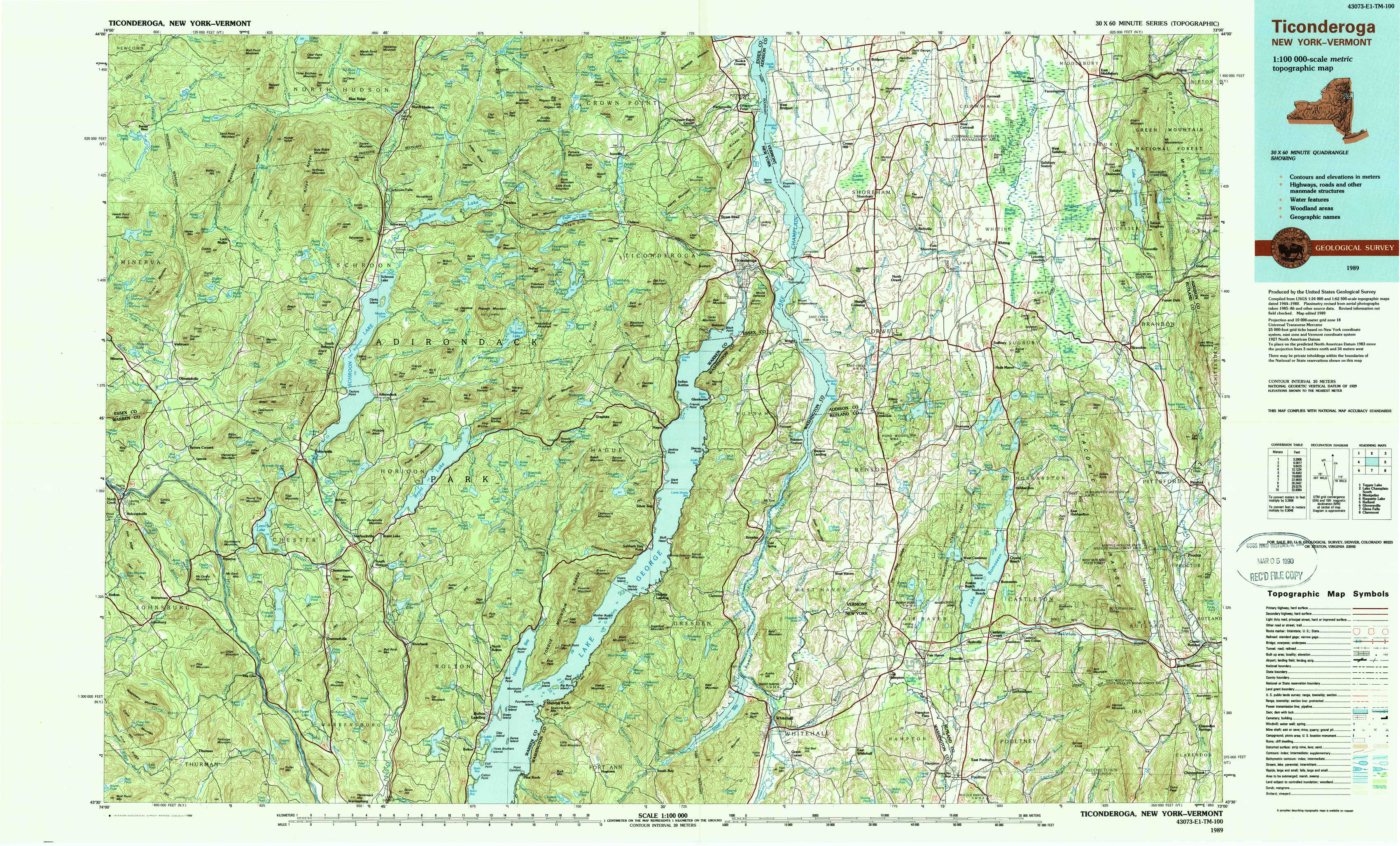
Ticonderoga Topo Map New York
To zoom in, hover over the map of Ticonderoga
USGS Topo Map 43073e1 - 1:100,000 scale
| Topo Map Name: | Ticonderoga |
| USGS Topo Quad ID: | 43073e1 |
| Print Size: | ca. 39" wide x 24" high |
| Southeast Coordinates: | 43.5° N latitude / 73° W longitude |
| Map Center Coordinates: | 43.75° N latitude / 73.5° W longitude |
| U.S. States: | NY, VT |
| Filename: | 43073e1.jpg |
| Download Map JPG Image: | Ticonderoga topo map 1:100,000 scale |
| Map Type: | Topographic |
| Topo Series: | 30´x60´ |
| Map Scale: | 1:100,000 |
| Source of Map Images: | United States Geological Survey (USGS) |
| Alternate Map Versions: |
Ticonderoga NY 1986, updated 1986 Download PDF Buy paper map Ticonderoga NY 1989, updated 1989 Download PDF Buy paper map Ticonderoga NY 1989, updated 1989 Download PDF Buy paper map |
1:100,000 Topos surrounding Ticonderoga
Tupper Lake |
Lake Champlain South |
Montpelier |
Raquette Lake |
Ticonderoga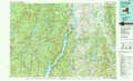 |
Rutland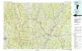 |
Gloversville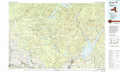 |
Glens Falls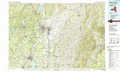 |
Claremont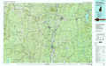 |
> Back to 43072a1 at 1:250,000 scale
> Back to U.S. Topo Maps home
1:24,000 Topo Quads covered by the spatial extent of this 100k map (Ticonderoga)
|
Blue Ridge 
|
Paradox Lake 
|
Eagle Lake 
|
Crown Point 
|
Bridport 
|
Cornwall 
|
East Middlebury 
|
|
|
Schroon Lake 
|
Pharaoh Mountain 
|
Graphite 
|
Ticonderoga 
|
Orwell 
|
Sudbury 
|
Brandon 
|
|
|
North Creek 
|
Chestertown 
|
Brant Lake 
|
Silver Bay 
|
Putnam 
|
Benson 
|
Bomoseen 
|
Proctor 
|
|
Johnsburg 
|
The Glen 
|
Bolton Landing 
|
Shelving Rock 
|
Whitehall 
|
Thorn Hill 
|
Poultney 
|
West Rutland 
|