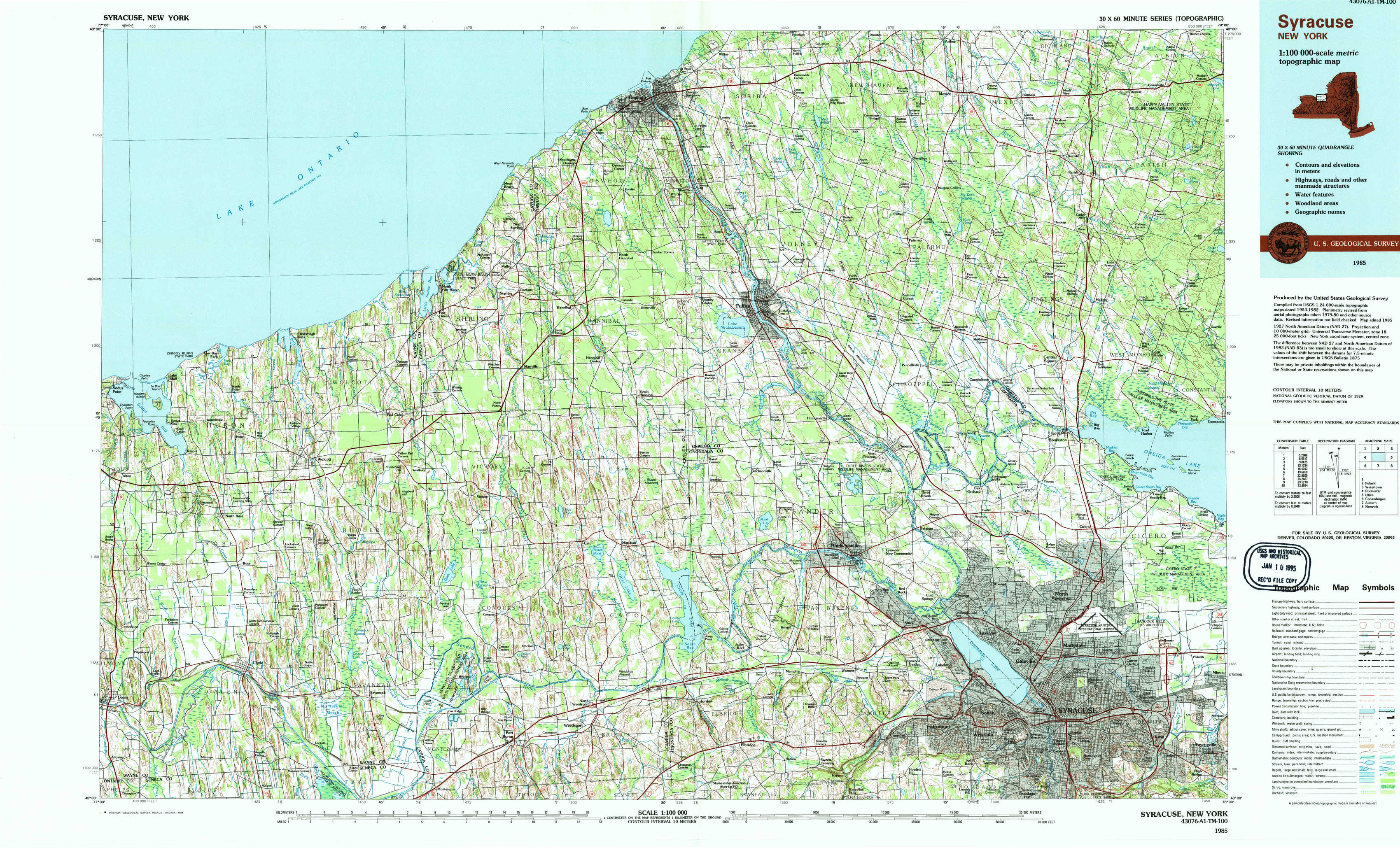
Syracuse Topo Map New York
To zoom in, hover over the map of Syracuse
USGS Topo Map 43076a1 - 1:100,000 scale
| Topo Map Name: | Syracuse |
| USGS Topo Quad ID: | 43076a1 |
| Print Size: | ca. 39" wide x 24" high |
| Southeast Coordinates: | 43° N latitude / 76° W longitude |
| Map Center Coordinates: | 43.25° N latitude / 76.5° W longitude |
| U.S. State: | NY |
| Filename: | 43076a1.jpg |
| Download Map JPG Image: | Syracuse topo map 1:100,000 scale |
| Map Type: | Topographic |
| Topo Series: | 30´x60´ |
| Map Scale: | 1:100,000 |
| Source of Map Images: | United States Geological Survey (USGS) |
| Alternate Map Versions: |
Syracuse NY 1985, updated 1985 Download PDF Buy paper map Syracuse NY 1985, updated 1994 Download PDF Buy paper map Syracuse NY 1985, updated 1994 Download PDF Buy paper map |
1:100,000 Topos surrounding Syracuse
Pulaski |
Watertown |
|
Rochester |
Syracuse |
Utica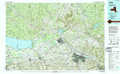 |
Canandaigua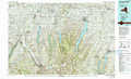 |
Auburn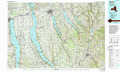 |
Norwich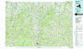 |
> Back to 43076a1 at 1:250,000 scale
> Back to U.S. Topo Maps home
1:24,000 Topo Quads covered by the spatial extent of this 100k map (Syracuse)
|
West Ninemile Point 
|
Oswego West 
|
Oswego East 
|
New Haven 
|
Mexico 
|
Dugway 
|
||
|
Sodus Point 
|
North Wolcott 
|
Fair Haven 
|
Hannibal 
|
Fulton 
|
Pennellville 
|
Central Square 
|
Mallory 
|
|
Rose 
|
Wolcott 
|
Victory 
|
Cato 
|
Lysander 
|
Baldwinsville 
|
Brewerton 
|
Cicero 
|
|
Lyons 
|
Savannah 
|
Montezuma 
|
Weedsport 
|
Jordan 
|
Camillus 
|
Syracuse West 
|
Syracuse East 
|