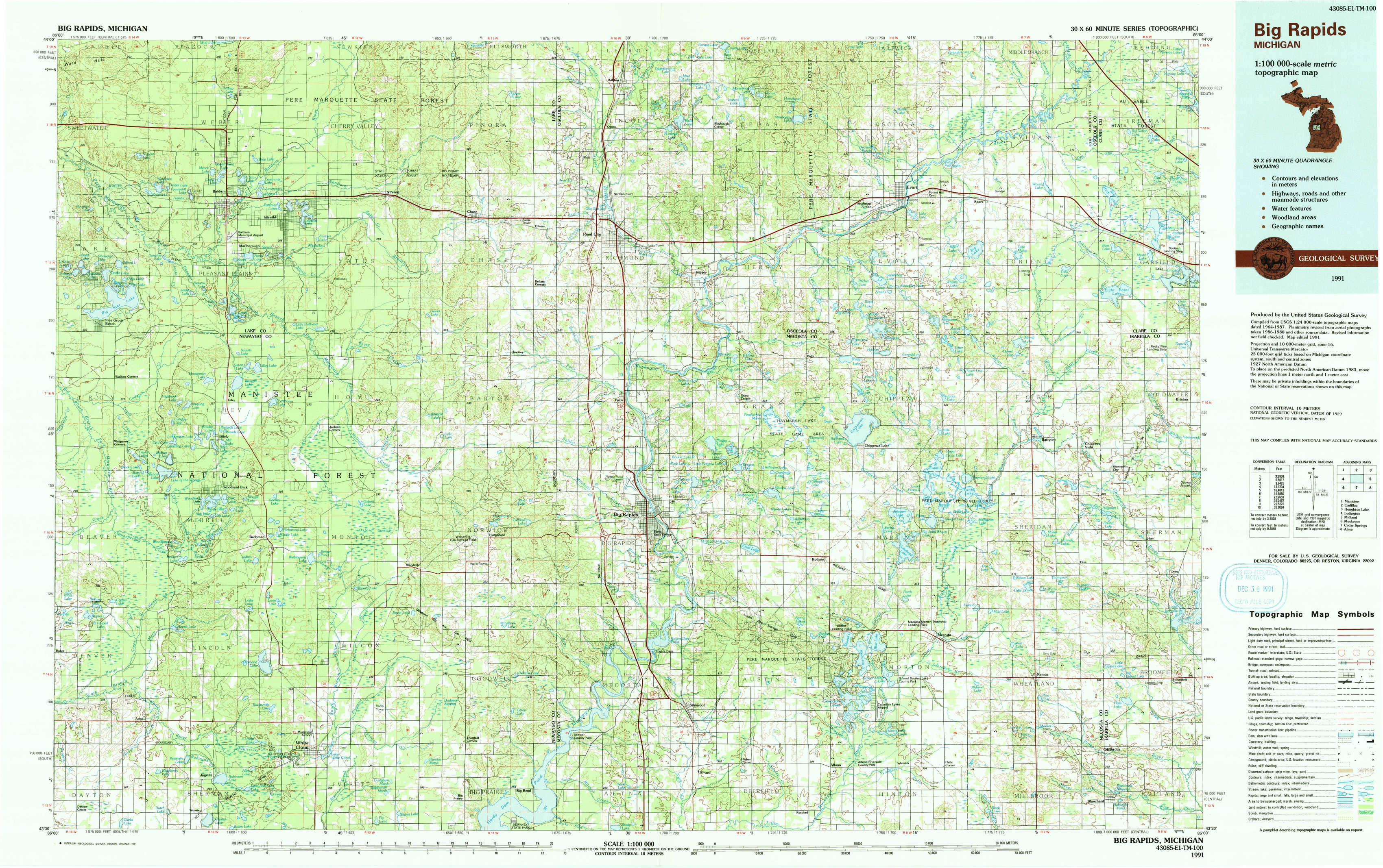
Big Rapids Topo Map Michigan
To zoom in, hover over the map of Big Rapids
USGS Topo Map 43085e1 - 1:100,000 scale
| Topo Map Name: | Big Rapids |
| USGS Topo Quad ID: | 43085e1 |
| Print Size: | ca. 39" wide x 24" high |
| Southeast Coordinates: | 43.5° N latitude / 85° W longitude |
| Map Center Coordinates: | 43.75° N latitude / 85.5° W longitude |
| U.S. State: | MI |
| Filename: | 43085e1.jpg |
| Download Map JPG Image: | Big Rapids topo map 1:100,000 scale |
| Map Type: | Topographic |
| Topo Series: | 30´x60´ |
| Map Scale: | 1:100,000 |
| Source of Map Images: | United States Geological Survey (USGS) |
| Alternate Map Versions: |
Big Rapids MI 1991, updated 1991 Download PDF Buy paper map |
1:100,000 Topos surrounding Big Rapids
Manistee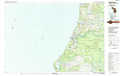 |
Cadillac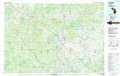 |
Houghton Lake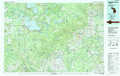 |
Ludington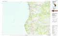 |
Big Rapids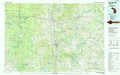 |
Midland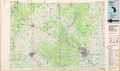 |
Muskegon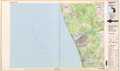 |
Cedar Springs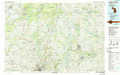 |
Alma |
> Back to 43084a1 at 1:250,000 scale
> Back to U.S. Topo Maps home
1:24,000 Topo Quads covered by the spatial extent of this 100k map (Big Rapids)
|
Townsend Lake 
|
Baldwin 
|
Chase 
|
Reed City North 
|
Slaybaugh Corner 
|
Evart 
|
Sears 
|
Lake Ne 
|
|
Big Star Lake 
|
Marlborough 
|
Whipple Lake 
|
Reed City South 
|
Hersey 
|
Chippewa Lake North 
|
Merrill Lake 
|
Lake 
|
|
Walkup Lake 
|
Woodland Park 
|
Woodville 
|
Woodville Ne 
|
Big Rapids 
|
Chippewa Lake South 
|
Mecosta Nw 
|
Sherman City 
|
|
Dayton Center 
|
White Cloud 
|
Big Prairie 
|
Big Bend 
|
Stanwood 
|
Altona 
|
Mecosta 
|
Blanchard 
|