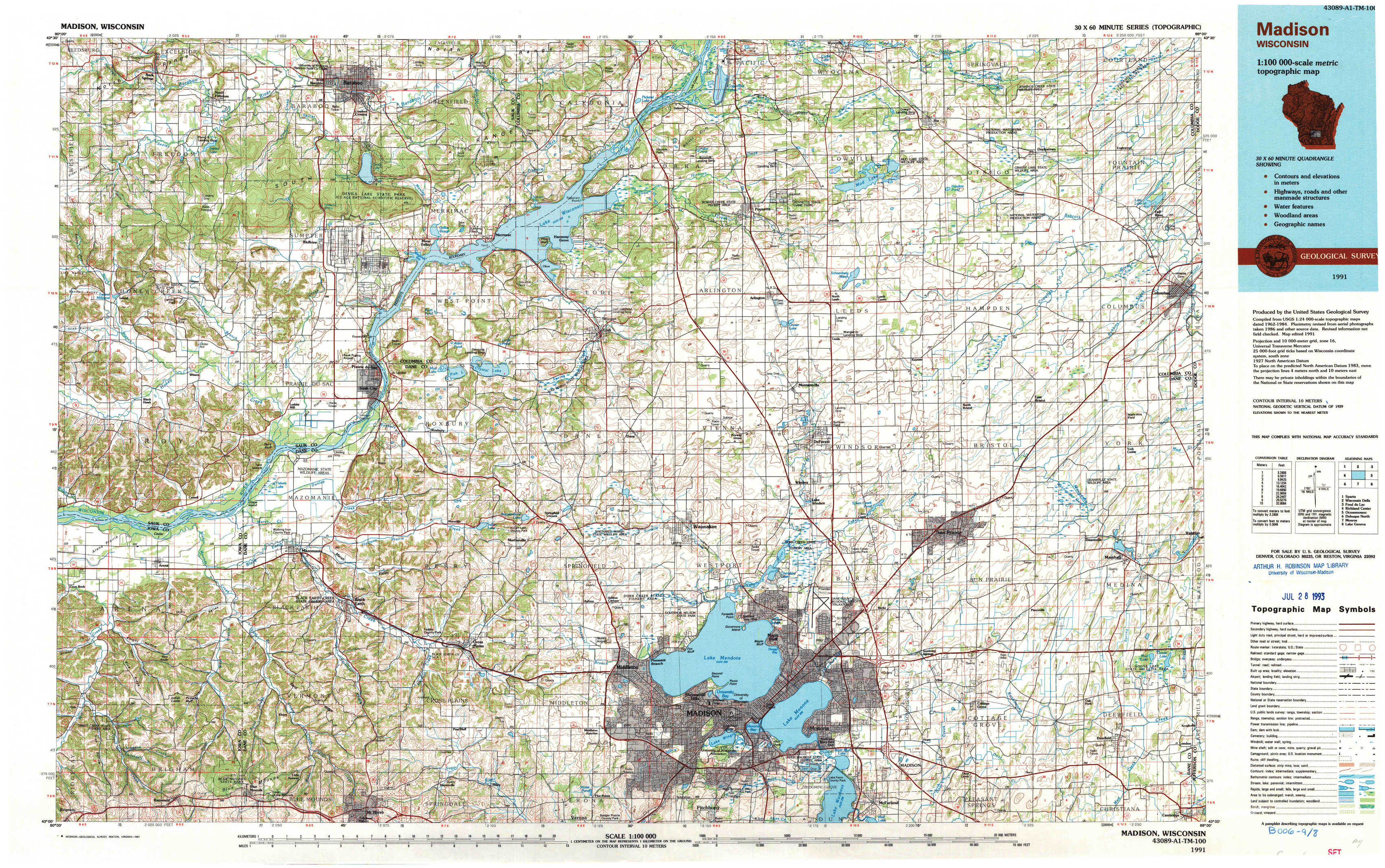
Madison Topo Map Wisconsin
To zoom in, hover over the map of Madison
USGS Topo Map 43089a1 - 1:100,000 scale
| Topo Map Name: | Madison |
| USGS Topo Quad ID: | 43089a1 |
| Print Size: | ca. 39" wide x 24" high |
| Southeast Coordinates: | 43° N latitude / 89° W longitude |
| Map Center Coordinates: | 43.25° N latitude / 89.5° W longitude |
| U.S. State: | WI |
| Filename: | 43089a1.jpg |
| Download Map JPG Image: | Madison topo map 1:100,000 scale |
| Map Type: | Topographic |
| Topo Series: | 30´x60´ |
| Map Scale: | 1:100,000 |
| Source of Map Images: | United States Geological Survey (USGS) |
| Alternate Map Versions: |
Madison WI 1991, updated 1991 Download PDF Buy paper map |
1:100,000 Topos surrounding Madison
Sparta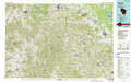 |
Wisconsin Dells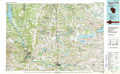 |
Fond Du Lac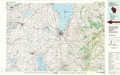 |
Richland Center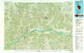 |
Madison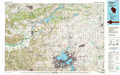 |
Oconomowoc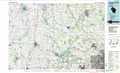 |
Dubuque North |
Monroe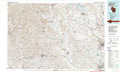 |
Lake Geneva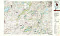 |
> Back to 43088a1 at 1:250,000 scale
> Back to U.S. Topo Maps home
1:24,000 Topo Quads covered by the spatial extent of this 100k map (Madison)
|
Rock Springs 
|
North Freedom 
|
Baraboo 
|
Durwards Glen 
|
Poynette 
|
Wyocena 
|
Rio 
|
Fall River 
|
|
Black Hawk 
|
Sauk Prairie 
|
Sauk City 
|
Lodi 
|
Arlington 
|
Morrisonville 
|
North Bristol 
|
Columbus 
|
|
Arena 
|
Mazomanie 
|
Black Earth 
|
Springfield Corners 
|
Waunakee 
|
De Forest 
|
Sun Prairie 
|
Marshall 
|
|
Barneveld 
|
Blue Mounds 
|
Cross Plains 
|
Middleton 
|
Madison West 
|
Madison East 
|
Cottage Grove 
|
Deerfield 
|