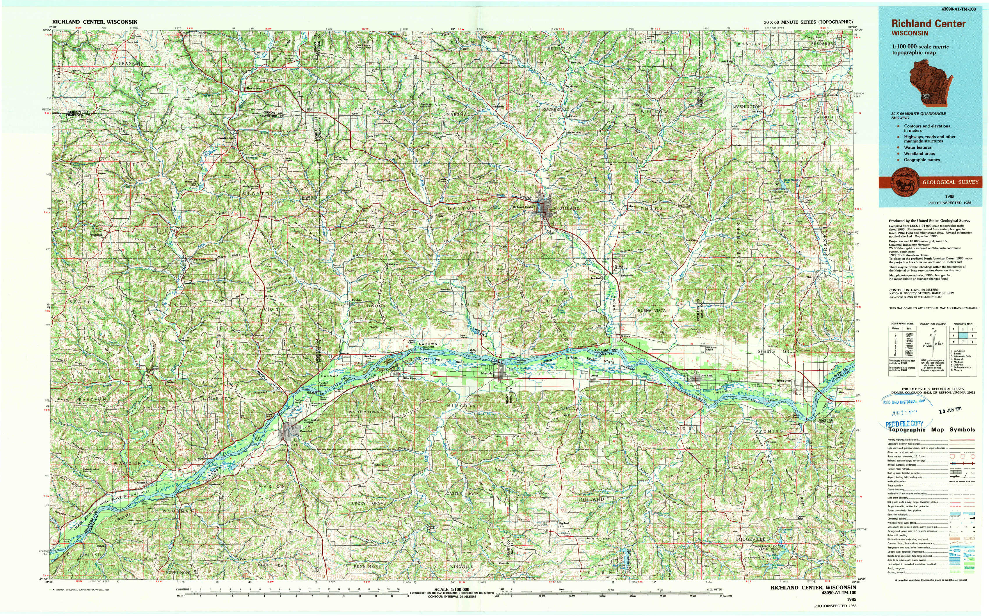
Richland Center Topo Map Wisconsin
To zoom in, hover over the map of Richland Center
USGS Topo Map 43090a1 - 1:100,000 scale
| Topo Map Name: | Richland Center |
| USGS Topo Quad ID: | 43090a1 |
| Print Size: | ca. 39" wide x 24" high |
| Southeast Coordinates: | 43° N latitude / 90° W longitude |
| Map Center Coordinates: | 43.25° N latitude / 90.5° W longitude |
| U.S. State: | WI |
| Filename: | 43090a1.jpg |
| Download Map JPG Image: | Richland Center topo map 1:100,000 scale |
| Map Type: | Topographic |
| Topo Series: | 30´x60´ |
| Map Scale: | 1:100,000 |
| Source of Map Images: | United States Geological Survey (USGS) |
| Alternate Map Versions: |
Richland Center WI 1985, updated 1991 Download PDF Buy paper map |
1:100,000 Topos surrounding Richland Center
La Crosse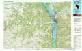 |
Sparta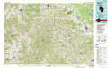 |
Wisconsin Dells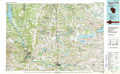 |
Decorah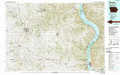 |
Richland Center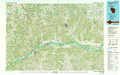 |
Madison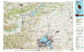 |
Oelwein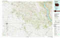 |
Dubuque North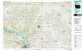 |
Monroe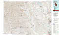 |
> Back to 43090a1 at 1:250,000 scale
> Back to U.S. Topo Maps home
1:24,000 Topo Quads covered by the spatial extent of this 100k map (Richland Center)
|
Rising Sun 
|
Readstown 
|
Sugar Grove 
|
Sabin 
|
Gillingham 
|
Rockeridge 
|
Lime Ridge 
|
Loganville 
|
|
Mount Sterling 
|
Gays Mills 
|
Mount Zion 
|
Boaz 
|
Richland Center 
|
Sectonville 
|
Bear Valley 
|
Plain 
|
|
Crowley Ridge 
|
Steuben 
|
Boscobel 
|
Blue River 
|
Muscoda 
|
Avoca 
|
Lone Rock 
|
Spring Green 
|
|
Wauzeka West 
|
Wauzeka East 
|
Long Hollow 
|
Castle Rock 
|
Highland West 
|
Highland East 
|
Clyde 
|
Pleasant Ridge 
|