Austin Topo Map Minnesota
To zoom in, hover over the map of Austin
USGS Topo Map 43092e1 - 1:100,000 scale
| Topo Map Name: | Austin |
| USGS Topo Quad ID: | 43092e1 |
| Print Size: | ca. 39" wide x 24" high |
| Southeast Coordinates: | 43.5° N latitude / 92° W longitude |
| Map Center Coordinates: | 43.75° N latitude / 92.5° W longitude |
| U.S. States: | MN, IA |
| Filename: | 43092e1.jpg |
| Download Map JPG Image: | Austin topo map 1:100,000 scale |
| Map Type: | Topographic |
| Topo Series: | 30´x60´ |
| Map Scale: | 1:100,000 |
| Source of Map Images: | United States Geological Survey (USGS) |
| Alternate Map Versions: |
Austin MN 1985, updated 1985 Download PDF Buy paper map Austin MN 1985, updated 1989 Download PDF Buy paper map |
1:100,000 Topos surrounding Austin
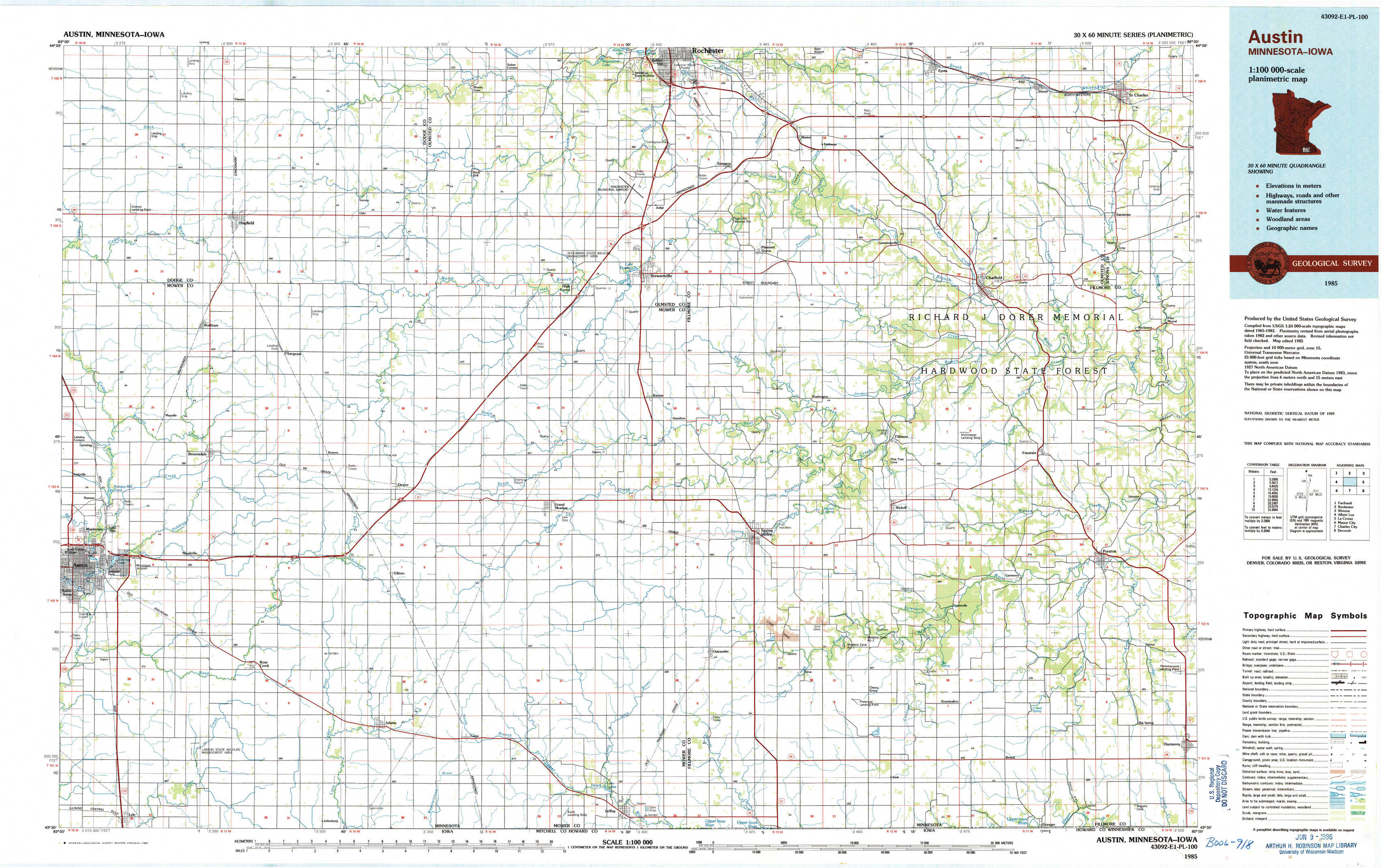
Faribault |
Rochester |
Winona |
Albert Lea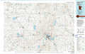 |
Austin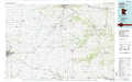 |
La Crosse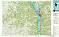 |
Mason City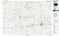 |
Charles City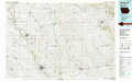 |
Decorah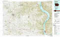 |
> Back to 43092a1 at 1:250,000 scale
> Back to U.S. Topo Maps home
1:24,000 Topo Quads covered by the spatial extent of this 100k map (Austin)
|
Hayfield Nw 
|
Hayfield 
|
Rock Dell 
|
Salem Corners 
|
Simpson 
|
Marion 
|
Eyota 
|
Saint Charles 
|
|
Waltham 
|
Sargeant 
|
High Forest Sw 
|
High Forest 
|
Stewartville 
|
Washington 
|
Chatfield 
|
Pilot Mound 
|
|
Austin East 
|
Brownsdale 
|
Dexter 
|
Grand Meadow 
|
Spring Valley 
|
Wykoff 
|
Fountain 
|
Preston 
|
|
Lyle 
|
Rose Creek 
|
Adams 
|
Le Roy 
|
Ostrander 
|
Cherry Grove 
|
Greenleafton 
|
Harmony 
|