Mason City Topo Map Iowa
To zoom in, hover over the map of Mason City
USGS Topo Map 43093a1 - 1:100,000 scale
| Topo Map Name: | Mason City |
| USGS Topo Quad ID: | 43093a1 |
| Print Size: | ca. 39" wide x 24" high |
| Southeast Coordinates: | 43° N latitude / 93° W longitude |
| Map Center Coordinates: | 43.25° N latitude / 93.5° W longitude |
| U.S. States: | IA, MN |
| Filename: | 43093a1.jpg |
| Download Map JPG Image: | Mason City topo map 1:100,000 scale |
| Map Type: | Topographic |
| Topo Series: | 30´x60´ |
| Map Scale: | 1:100,000 |
| Source of Map Images: | United States Geological Survey (USGS) |
| Alternate Map Versions: |
Mason City IA 1985, updated 1985 Download PDF Buy paper map Mason City IA 1985, updated 1992 Download PDF Buy paper map |
1:100,000 Topos surrounding Mason City
Fairmont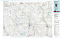 |
Albert Lea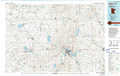 |
Austin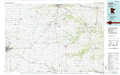 |
Estherville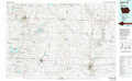 |
Mason City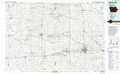 |
Charles City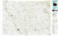 |
Humboldt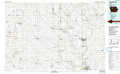 |
Iowa Falls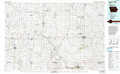 |
Waverly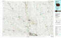 |
> Back to 43092a1 at 1:250,000 scale
> Back to U.S. Topo Maps home
1:24,000 Topo Quads covered by the spatial extent of this 100k map (Mason City)
|
Buffalo Center 
|
Buffalo Center Ne 
|
Vinje 
|
Lake Mills 
|
Bristol 
|
Fertile Ne 
|
Northwood 
|
Carpenter 
|
|
Buffalo Center Sw 
|
Thompson 
|
Forest City 
|
Pilot Knob 
|
Fertile 
|
Fertile Se 
|
Manly 
|
Grafton 
|
|
Woden 
|
Crystal Lake 
|
Hayfield 
|
Miller 
|
Clear Lake West 
|
Clear Lake East 
|
Mason City 
|
Nora Springs 
|
|
Wesley 
|
Britt 
|
Duncan 
|
Garner 
|
Ventura Heights 
|
Burchinal 
|
Hanford 
|
Mason City Se 
|
