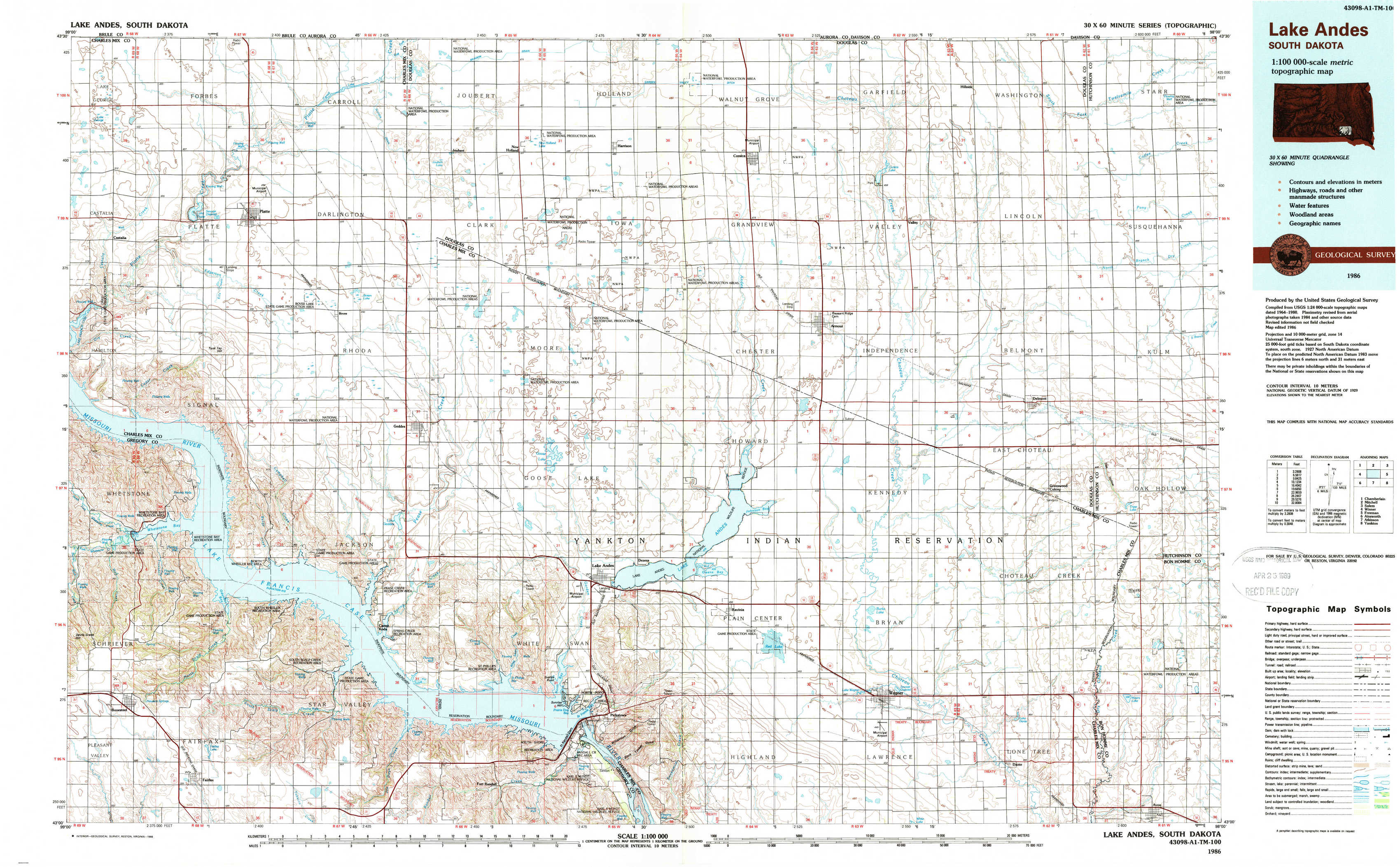
Lake Andes Topo Map South Dakota
To zoom in, hover over the map of Lake Andes
USGS Topo Map 43098a1 - 1:100,000 scale
| Topo Map Name: | Lake Andes |
| USGS Topo Quad ID: | 43098a1 |
| Print Size: | ca. 39" wide x 24" high |
| Southeast Coordinates: | 43° N latitude / 98° W longitude |
| Map Center Coordinates: | 43.25° N latitude / 98.5° W longitude |
| U.S. State: | SD |
| Filename: | 43098a1.jpg |
| Download Map JPG Image: | Lake Andes topo map 1:100,000 scale |
| Map Type: | Topographic |
| Topo Series: | 30´x60´ |
| Map Scale: | 1:100,000 |
| Source of Map Images: | United States Geological Survey (USGS) |
| Alternate Map Versions: |
Lake Andes SD 1986, updated 1986 Download PDF Buy paper map Lake Andes SD 1986, updated 1988 Download PDF Buy paper map Lake Andes SD 1986, updated 1988 Download PDF Buy paper map |
1:100,000 Topos surrounding Lake Andes
Chamberlain |
Mitchell |
Salem |
Winner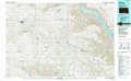 |
Lake Andes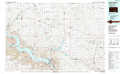 |
Freeman |
Ainsworth |
Atkinson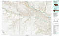 |
Yankton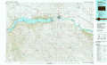 |
> Back to 43098a1 at 1:250,000 scale
> Back to U.S. Topo Maps home
1:24,000 Topo Quads covered by the spatial extent of this 100k map (Lake Andes)
|
Lake George 
|
Platte 
|
Joubert 
|
New Holland 
|
Corsica 
|
Corsica Lake 
|
Hillside 
|
Delmont Ne 
|
|
Castalia 
|
Bovee 
|
Geddes 
|
Geddes Se 
|
Armour Sw 
|
Armour 
|
Delmont 
|
Delmont Se 
|
|
Whetstone Bay 
|
Campbell Creek 
|
Lake Andes Nw 
|
Lake Andes 
|
Ravinia 
|
Wagner Ne 
|
Greenwood Colony 
|
Oak Hollow 
|
|
Bonesteel 
|
South Scalp Creek 
|
Lake Andes Sw 
|
Fort Randall Dam 
|
Wagner Sw 
|
Wagner 
|
Dante 
|
Avon 
|