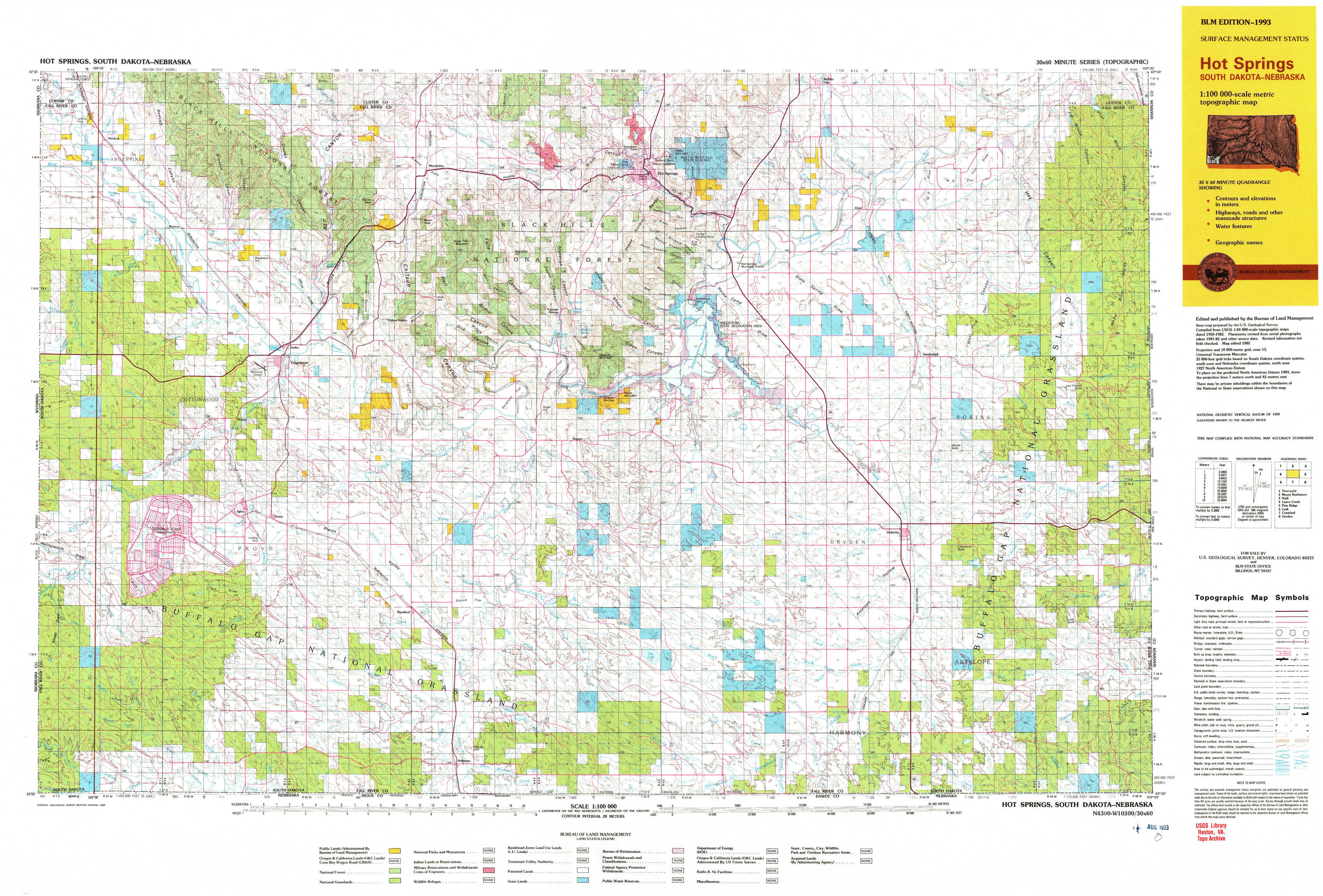
Hot Springs Topo Map South Dakota
To zoom in, hover over the map of Hot Springs
USGS Topo Map 43103a1 - 1:100,000 scale
| Topo Map Name: | Hot Springs |
| USGS Topo Quad ID: | 43103a1 |
| Print Size: | ca. 39" wide x 24" high |
| Southeast Coordinates: | 43° N latitude / 103° W longitude |
| Map Center Coordinates: | 43.25° N latitude / 103.5° W longitude |
| U.S. States: | SD, NE |
| Filename: | 43103a1.jpg |
| Download Map JPG Image: | Hot Springs topo map 1:100,000 scale |
| Map Type: | Topographic |
| Topo Series: | 30´x60´ |
| Map Scale: | 1:100,000 |
| Source of Map Images: | United States Geological Survey (USGS) |
| Alternate Map Versions: |
Hot Springs SD 1985, updated 1986 Download PDF Buy paper map Hot Springs SD 1985, updated 1988 Download PDF Buy paper map Hot Springs SD 1993, updated 1993 Download PDF Buy paper map |
1:100,000 Topos surrounding Hot Springs
Newcastle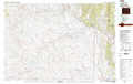 |
Mount Rushmore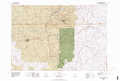 |
Wall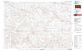 |
Lance Creek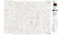 |
Hot Springs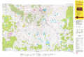 |
Pine Ridge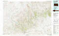 |
Lusk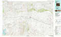 |
Crawford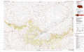 |
Gordon |
> Back to 43102a1 at 1:250,000 scale
> Back to U.S. Topo Maps home
1:24,000 Topo Quads covered by the spatial extent of this 100k map (Hot Springs)
|
Burdock 
|
Edgemont Ne 
|
Minnekahta 
|
Minnekahta Ne 
|
Hot Springs 
|
Buffalo Gap 
|
Smithwick Nw 
|
Smithwick Ne 
|
|
Edgemont Sw 
|
Edgemont 
|
Flint Hill 
|
Cascade Springs 
|
Angostura Reservoir 
|
Hot Springs Se 
|
Smithwick 
|
Hay Canyon Butte 
|
|
Phister Ranch 
|
Provo 
|
Rumford 
|
Heppner 
|
Lone Well Creek West 
|
Lone Well Creek East 
|
Oelrichs 
|
Oelrichs Ne 
|
|
Wallace Ranch 
|
Crowe Dam 
|
Ardmore 
|
Ardmore Se 
|
Black Banks Creek West 
|
Black Banks Creek East 
|
Oelrichs Sw 
|
Heinne Creek 
|