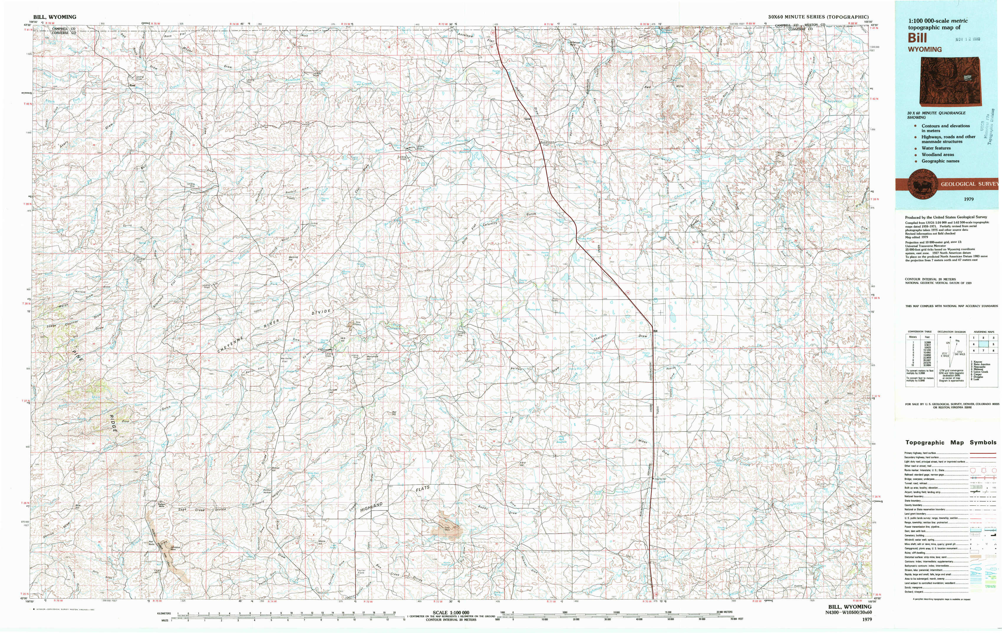
Bill Topo Map Wyoming
To zoom in, hover over the map of Bill
USGS Topo Map 43105a1 - 1:100,000 scale
| Topo Map Name: | Bill |
| USGS Topo Quad ID: | 43105a1 |
| Print Size: | ca. 39" wide x 24" high |
| Southeast Coordinates: | 43° N latitude / 105° W longitude |
| Map Center Coordinates: | 43.25° N latitude / 105.5° W longitude |
| U.S. State: | WY |
| Filename: | 43105a1.jpg |
| Download Map JPG Image: | Bill topo map 1:100,000 scale |
| Map Type: | Topographic |
| Topo Series: | 30´x60´ |
| Map Scale: | 1:100,000 |
| Source of Map Images: | United States Geological Survey (USGS) |
| Alternate Map Versions: |
Bill WY 1979, updated 1980 Download PDF Buy paper map Bill WY 1979, updated 1980 Download PDF Buy paper map |
1:100,000 Topos surrounding Bill
Kaycee |
Reno Junction |
Newcastle |
Midwest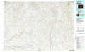 |
Bill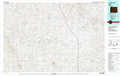 |
Lance Creek |
Casper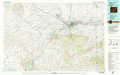 |
Douglas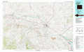 |
Lusk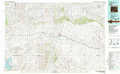 |
> Back to 43104a1 at 1:250,000 scale
> Back to U.S. Topo Maps home
1:24,000 Topo Quads covered by the spatial extent of this 100k map (Bill)
|
Ross 
|
Ross Flat 
|
Macken Draw 
|
Coal Draw North 
|
Betty Reservoir 
|
Dugout Creek North 
|
Coal Bank Draw 
|
Fiddleback Ranch 
|
|
Marsh Draw 
|
Thompson Draw 
|
Bear Creek 
|
Coal Draw South 
|
Alta Creek 
|
Dugout Creek South 
|
Tin Can Lake 
|
Esau Spring 
|
|
Fly Draw 
|
South Fork Reservoir 
|
Suicide Hill 
|
Red Hill 
|
Patsy Draw 
|
Bill 
|
Bill 4 Nw 
|
Bill 4 Ne 
|
|
Gumbo Hill 
|
Coal Hill 
|
Holdup Hollow 
|
Whipple Hollow 
|
Bobby Draw 
|
Bill Se 
|
Bill 4 Sw 
|
Bill 4 Se 
|