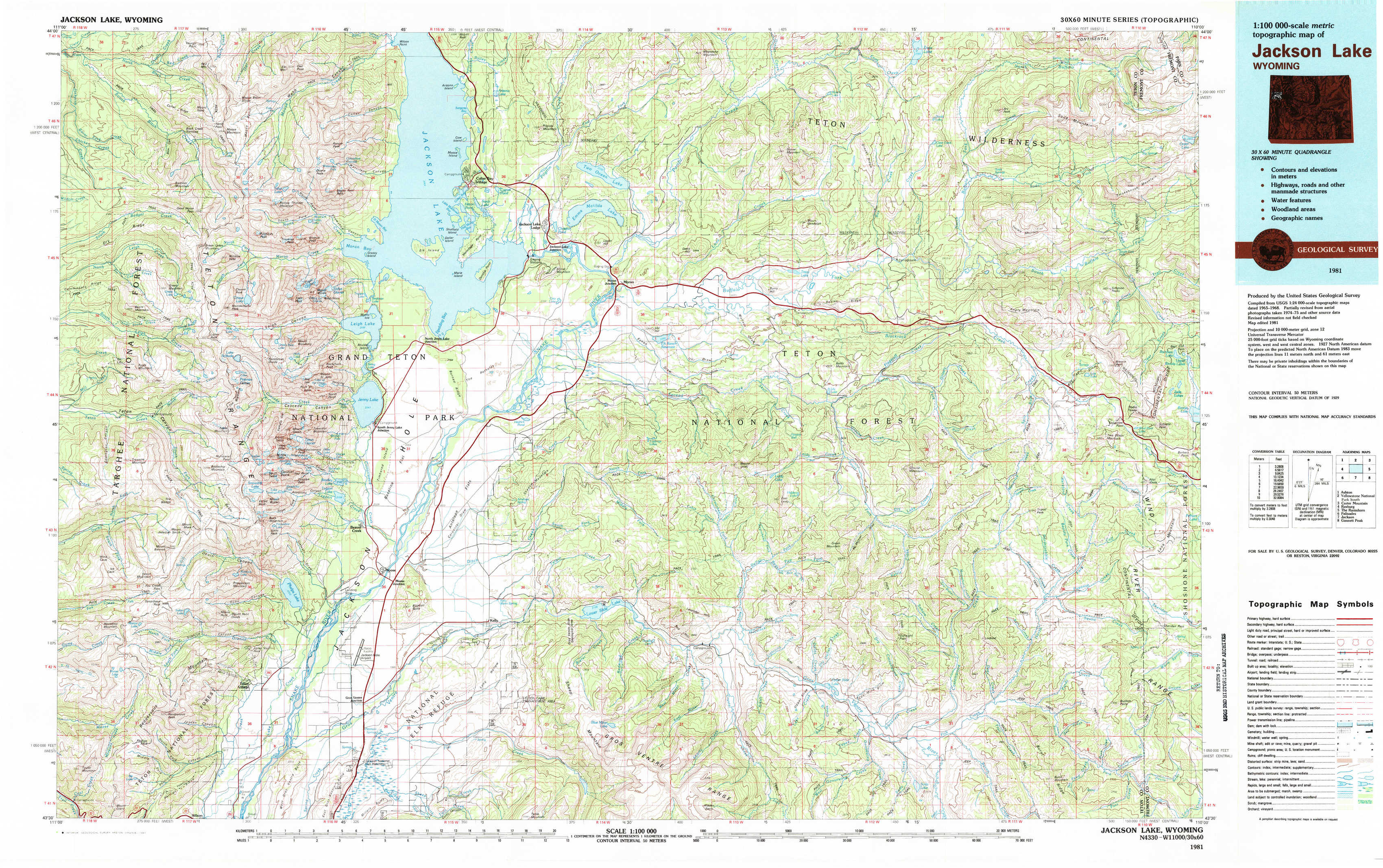
Jackson Lake Topo Map Wyoming
To zoom in, hover over the map of Jackson Lake
USGS Topo Map 43110e1 - 1:100,000 scale
| Topo Map Name: | Jackson Lake |
| USGS Topo Quad ID: | 43110e1 |
| Print Size: | ca. 39" wide x 24" high |
| Southeast Coordinates: | 43.5° N latitude / 110° W longitude |
| Map Center Coordinates: | 43.75° N latitude / 110.5° W longitude |
| U.S. State: | WY |
| Filename: | 43110e1.jpg |
| Download Map JPG Image: | Jackson Lake topo map 1:100,000 scale |
| Map Type: | Topographic |
| Topo Series: | 30´x60´ |
| Map Scale: | 1:100,000 |
| Source of Map Images: | United States Geological Survey (USGS) |
| Alternate Map Versions: |
Jackson Lake WY 1981, updated 1981 Download PDF Buy paper map Jackson Lake WY 1981, updated 1981 Download PDF Buy paper map |
1:100,000 Topos surrounding Jackson Lake
Ashton |
Yellowstone National Park South |
Carter Mountain |
Rexburg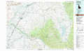 |
Jackson Lake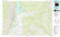 |
The Ramshorn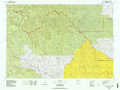 |
Palisades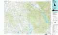 |
Jackson |
Gannett Peak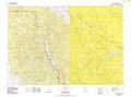 |
> Back to 43110a1 at 1:250,000 scale
> Back to U.S. Topo Maps home
1:24,000 Topo Quads covered by the spatial extent of this 100k map (Jackson Lake)
|
Rammel Mountain 
|
Ranger Peak 
|
Colter Bay 
|
Two Ocean Lake 
|
Whetstone Mountain 
|
Hunter Mountain 
|
Joy Peak 
|
Crater Lake 
|
|
Granite Basin 
|
Mount Moran 
|
Jenny Lake 
|
Moran 
|
Davis Hill 
|
Rosies Ridge 
|
Angle Mountain 
|
Togwotee Pass 
|
|
Mount Bannon 
|
Grand Teton 
|
Moose 
|
Shadow Mountain 
|
Mount Leidy 
|
Green Mountain 
|
Tripod Peak 
|
Lava Mountain 
|
|
Rendezvous Peak 
|
Teton Village 
|
Gros Ventre Junction 
|
Blue Miner Lake 
|
Grizzly Lake 
|
Upper Slide Lake 
|
Burnt Mountain 
|
Sheridan Pass 
|