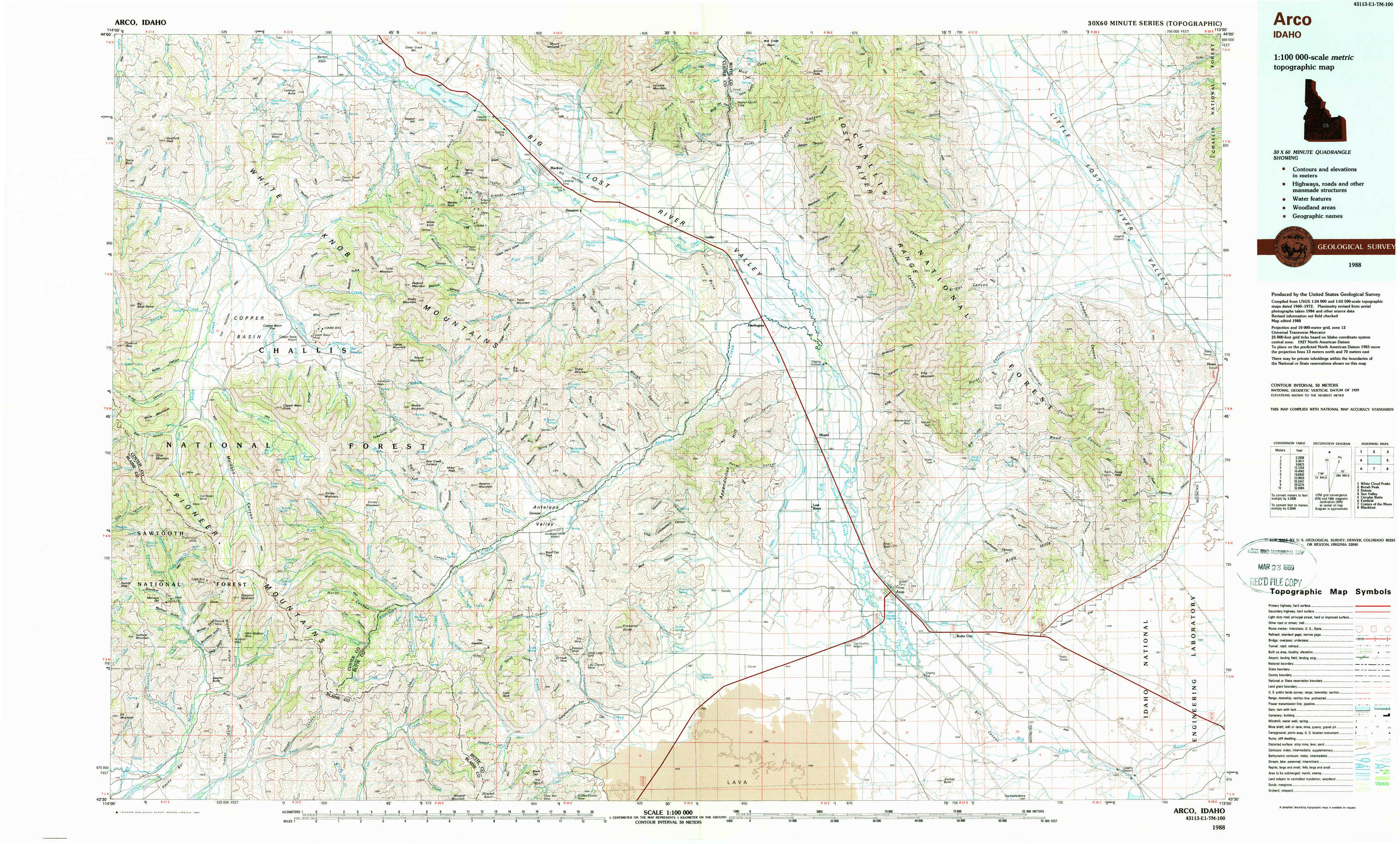
Arco Topo Map Idaho
To zoom in, hover over the map of Arco
USGS Topo Map 43113e1 - 1:100,000 scale
| Topo Map Name: | Arco |
| USGS Topo Quad ID: | 43113e1 |
| Print Size: | ca. 39" wide x 24" high |
| Southeast Coordinates: | 43.5° N latitude / 113° W longitude |
| Map Center Coordinates: | 43.75° N latitude / 113.5° W longitude |
| U.S. State: | ID |
| Filename: | 43113e1.jpg |
| Download Map JPG Image: | Arco topo map 1:100,000 scale |
| Map Type: | Topographic |
| Topo Series: | 30´x60´ |
| Map Scale: | 1:100,000 |
| Source of Map Images: | United States Geological Survey (USGS) |
| Alternate Map Versions: |
Arco ID 1988, updated 1989 Download PDF Buy paper map |
1:100,000 Topos surrounding Arco
White Cloud Peaks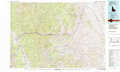 |
Borah Peak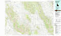 |
Dubois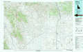 |
Sun Valley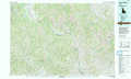 |
Arco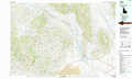 |
Circular Butte |
Fairfield |
Craters Of The Moon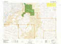 |
Blackfoot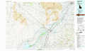 |
> Back to 43112a1 at 1:250,000 scale
> Back to U.S. Topo Maps home
1:24,000 Topo Quads covered by the spatial extent of this 100k map (Arco)
|
Porphyry Peak 
|
Lehman Butte 
|
Mackay Reservoir 
|
Mackay 
|
Methodist Creek 
|
Sunset Peak 
|
Howe Nw 
|
Howe Ne 
|
|
Big Black Dome 
|
Copper Basin Knob 
|
Shelly Mountain 
|
Big Blind Canyon 
|
Darlington 
|
Ramshorn Canyon 
|
Arco Pass 
|
Howe 
|
|
Star Hope Mine 
|
Smiley Mountain 
|
Miller Peak 
|
Grouse 
|
Appendicitis Hill 
|
Arco North 
|
Arco Hills 
|
Howe Peak 
|
|
Muldoon 
|
Trail Creek 
|
Blizzard Mountain North 
|
Champagne Creek 
|
Nichols Reservoir 
|
Arco South 
|
Butte City 
|
Arco Hills Se 
|