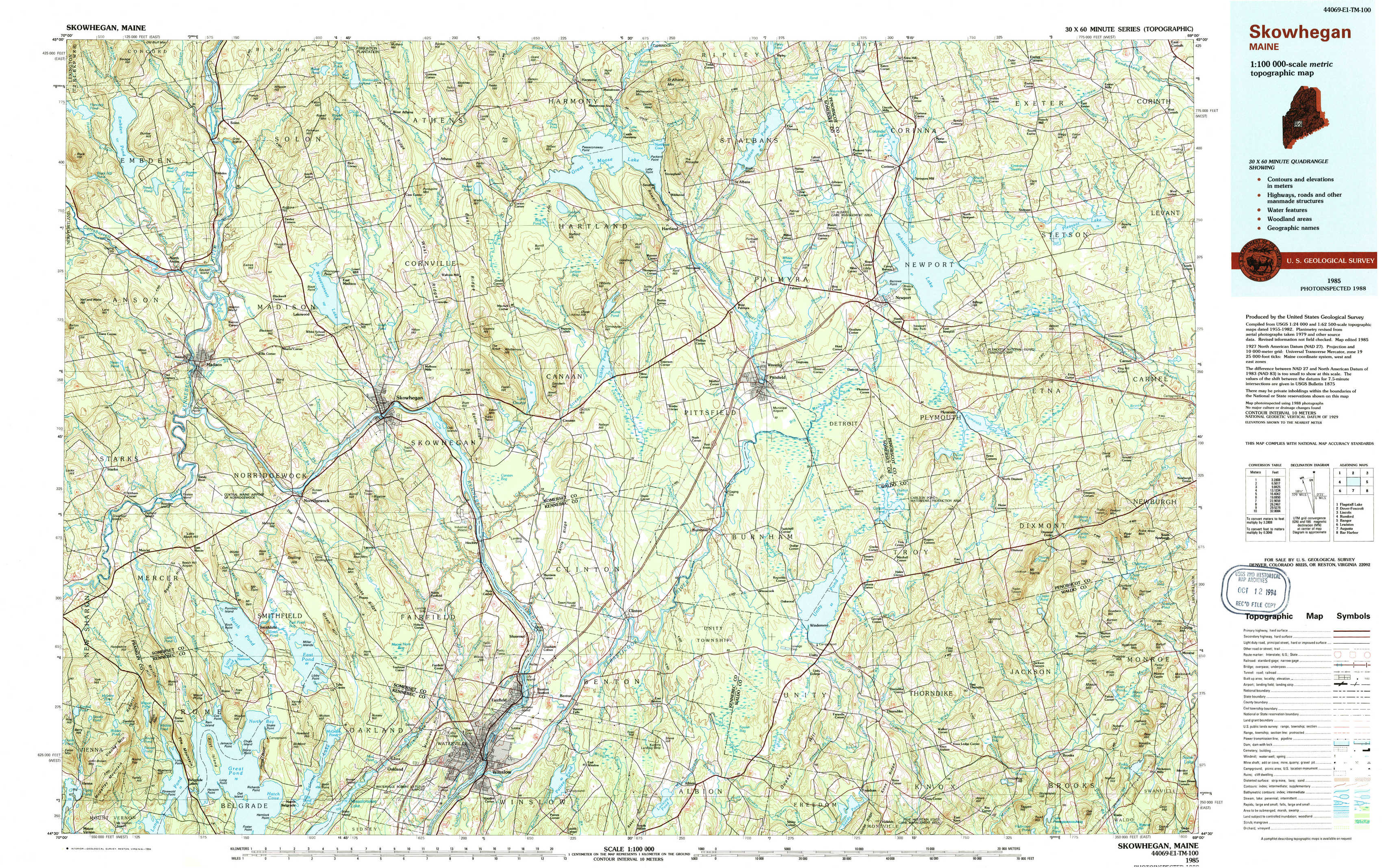
Skowhegan Topo Map Maine
To zoom in, hover over the map of Skowhegan
USGS Topo Map 44069e1 - 1:100,000 scale
| Topo Map Name: | Skowhegan |
| USGS Topo Quad ID: | 44069e1 |
| Print Size: | ca. 39" wide x 24" high |
| Southeast Coordinates: | 44.5° N latitude / 69° W longitude |
| Map Center Coordinates: | 44.75° N latitude / 69.5° W longitude |
| U.S. State: | ME |
| Filename: | 44069e1.jpg |
| Download Map JPG Image: | Skowhegan topo map 1:100,000 scale |
| Map Type: | Topographic |
| Topo Series: | 30´x60´ |
| Map Scale: | 1:100,000 |
| Source of Map Images: | United States Geological Survey (USGS) |
| Alternate Map Versions: |
Skowhegan ME 1985, updated 1986 Download PDF Buy paper map Skowhegan ME 1985, updated 1994 Download PDF Buy paper map |
1:100,000 Topos surrounding Skowhegan
Flagstaff Lake |
Dover-Foxcroft |
Lincoln |
Rumford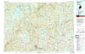 |
Skowhegan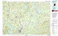 |
Bangor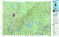 |
Lewiston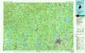 |
Augusta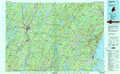 |
Bar Harbor |
> Back to 44068a1 at 1:250,000 scale
> Back to U.S. Topo Maps home
1:24,000 Topo Quads covered by the spatial extent of this 100k map (Skowhegan)
|
Embden Pond 
|
Solon 
|
Arbens 
|
Harmony 
|
Hartland 
|
Corinna 
|
Stetson 
|
West Corinth 
|
|
Madison West 
|
Madison East 
|
Skowhegan 
|
Canaan 
|
Pittsfield 
|
Newport 
|
Plymouth 
|
Carmel 
|
|
Mercer 
|
Norridgewock 
|
Hinckley 
|
Clinton 
|
Burnham 
|
Unity Pond 
|
Dixmont 
|
East Dixmont 
|
|
Belgrade Lakes 
|
Rome 
|
Waterville 
|
Fairfield 
|
Albion 
|
Unity 
|
Brooks West 
|
Brooks East 
|