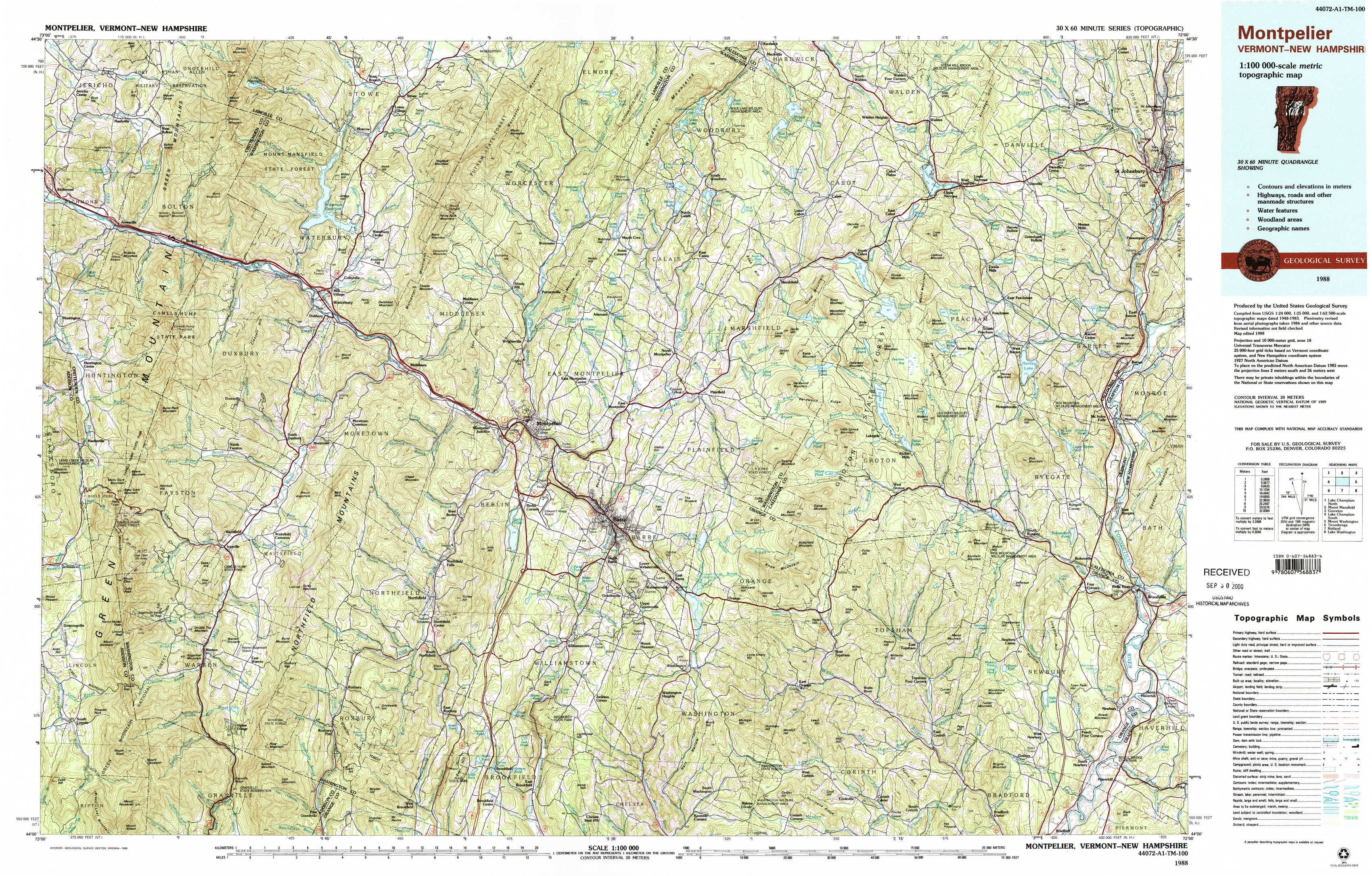
Montpelier Topo Map Vermont
To zoom in, hover over the map of Montpelier
USGS Topo Map 44072a1 - 1:100,000 scale
| Topo Map Name: | Montpelier |
| USGS Topo Quad ID: | 44072a1 |
| Print Size: | ca. 39" wide x 24" high |
| Southeast Coordinates: | 44° N latitude / 72° W longitude |
| Map Center Coordinates: | 44.25° N latitude / 72.5° W longitude |
| U.S. States: | VT, NH |
| Filename: | 44072a1.jpg |
| Download Map JPG Image: | Montpelier topo map 1:100,000 scale |
| Map Type: | Topographic |
| Topo Series: | 30´x60´ |
| Map Scale: | 1:100,000 |
| Source of Map Images: | United States Geological Survey (USGS) |
| Alternate Map Versions: |
Montpelier VT 1988 Download PDF Buy paper map Montpelier VT 1988, updated 1989 Download PDF Buy paper map |
1:100,000 Topos surrounding Montpelier
Lake Champlain North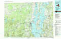 |
Mount Mansfield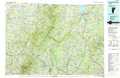 |
Groveton |
Lake Champlain South |
Montpelier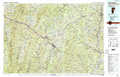 |
Mount Washington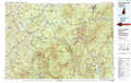 |
Ticonderoga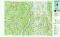 |
Rutland |
Lake Winnipesaukee |
> Back to 44072a1 at 1:250,000 scale
> Back to U.S. Topo Maps home
1:24,000 Topo Quads covered by the spatial extent of this 100k map (Montpelier)
|
Richmond 
|
Bolton Mountain 
|
Stowe 
|
Mount Worcester 
|
Woodbury 
|
Cabot 
|
Saint Johnsbury 
|
|
|
Huntington 
|
Waterbury 
|
Middlesex 
|
Montpelier 
|
Plainfield 
|
Marshfield 
|
Barnet 
|
|
|
Mount Ellen 
|
Waitsfield 
|
Northfield 
|
Barre West 
|
Barre East 
|
Knox Mountain 
|
Groton 
|
Woodsville 
|
|
Lincoln 
|
Warren 
|
Roxbury 
|
Brookfield 
|
Washington 
|
West Topsham 
|
East Corinth 
|
Newbury 
|