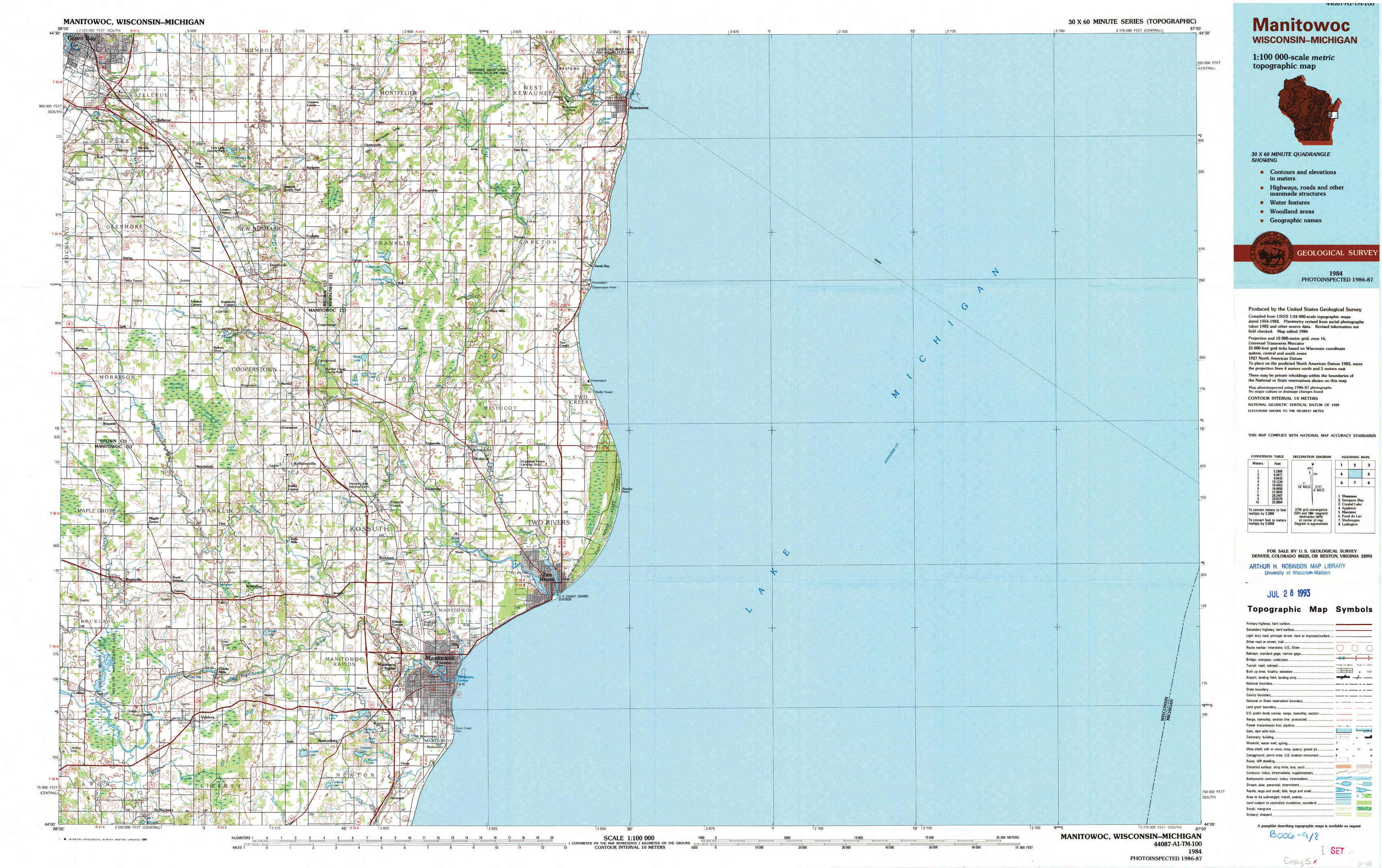
Manitowoc Topo Map Wisconsin
To zoom in, hover over the map of Manitowoc
USGS Topo Map 44087a1 - 1:100,000 scale
| Topo Map Name: | Manitowoc |
| USGS Topo Quad ID: | 44087a1 |
| Print Size: | ca. 39" wide x 24" high |
| Southeast Coordinates: | 44° N latitude / 87° W longitude |
| Map Center Coordinates: | 44.25° N latitude / 87.5° W longitude |
| U.S. States: | WI, MI |
| Filename: | 44087a1.jpg |
| Download Map JPG Image: | Manitowoc topo map 1:100,000 scale |
| Map Type: | Topographic |
| Topo Series: | 30´x60´ |
| Map Scale: | 1:100,000 |
| Source of Map Images: | United States Geological Survey (USGS) |
| Alternate Map Versions: |
Manitowoc WI 1984, updated 1985 Download PDF Buy paper map Manitowoc WI 1984, updated 1991 Download PDF Buy paper map |
1:100,000 Topos surrounding Manitowoc
Shawano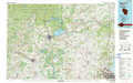 |
Sturgeon Bay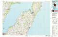 |
Crystal Lake |
Appleton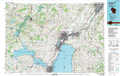 |
Manitowoc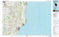 |
Manistee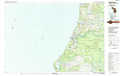 |
Fond Du Lac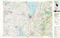 |
Sheboygan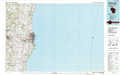 |
Ludington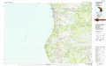 |
> Back to 44086a1 at 1:250,000 scale
> Back to U.S. Topo Maps home
1:24,000 Topo Quads covered by the spatial extent of this 100k map (Manitowoc)
|
Bellevue 
|
Poland 
|
Stangelville 
|
Kewaunee 
|
||||
|
Morrison 
|
Denmark 
|
Larrabee 
|
Two Creeks 
|
||||
|
Reedsville 
|
Whitelaw 
|
Mishicot 
|
Two Rivers 
|
||||
|
Valders 
|
Clarks Mills 
|
Manitowoc 
|