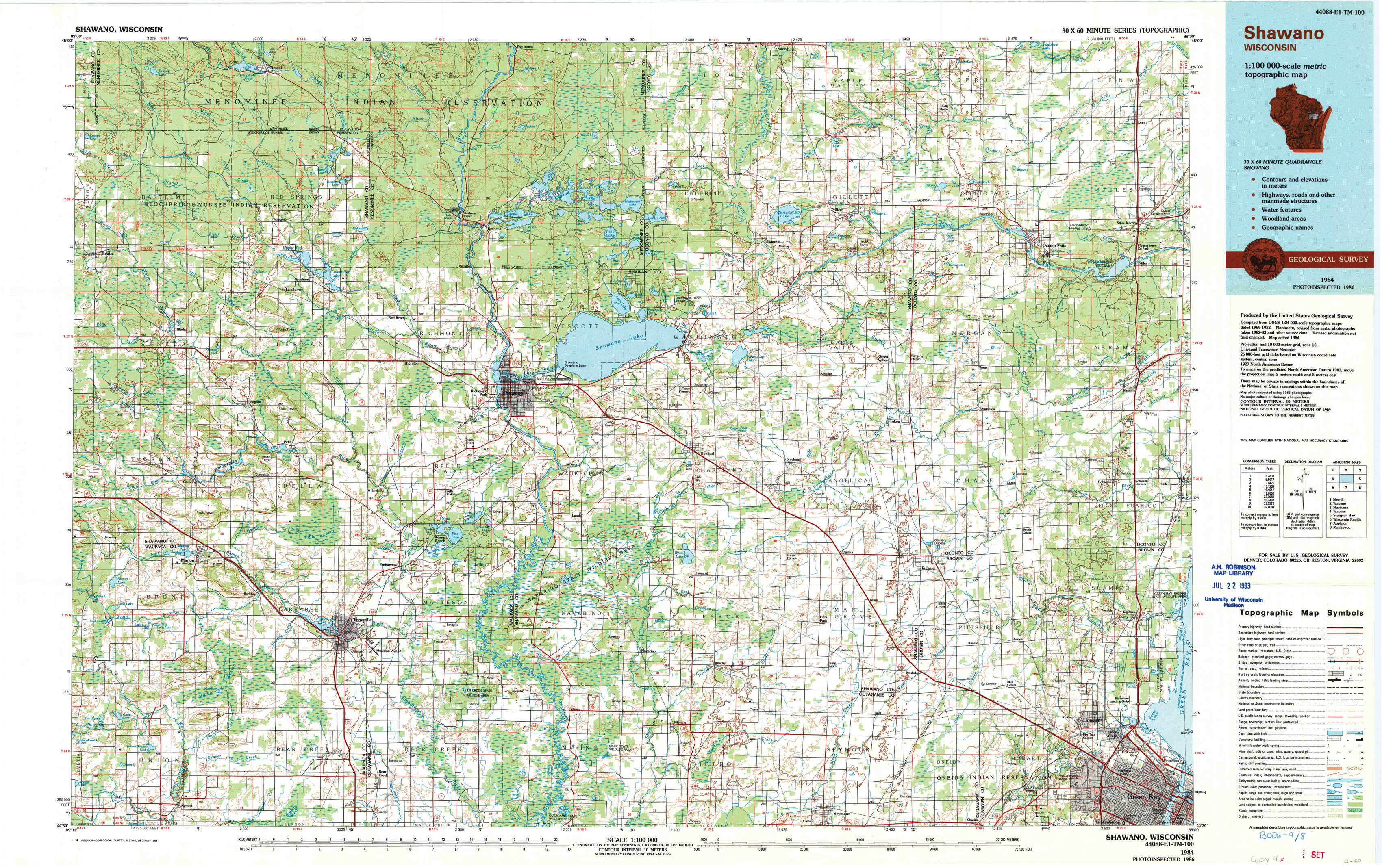
Shawano Topo Map Wisconsin
To zoom in, hover over the map of Shawano
USGS Topo Map 44088e1 - 1:100,000 scale
| Topo Map Name: | Shawano |
| USGS Topo Quad ID: | 44088e1 |
| Print Size: | ca. 39" wide x 24" high |
| Southeast Coordinates: | 44.5° N latitude / 88° W longitude |
| Map Center Coordinates: | 44.75° N latitude / 88.5° W longitude |
| U.S. State: | WI |
| Filename: | 44088e1.jpg |
| Download Map JPG Image: | Shawano topo map 1:100,000 scale |
| Map Type: | Topographic |
| Topo Series: | 30´x60´ |
| Map Scale: | 1:100,000 |
| Source of Map Images: | United States Geological Survey (USGS) |
| Alternate Map Versions: |
Shawano WI 1984, updated 1985 Download PDF Buy paper map Shawano WI 1984, updated 1989 Download PDF Buy paper map |
1:100,000 Topos surrounding Shawano
Merrill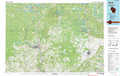 |
Wabeno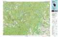 |
Marinette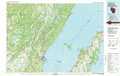 |
Wausau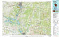 |
Shawano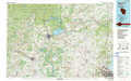 |
Sturgeon Bay |
Wisconsin Rapids |
Appleton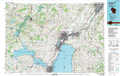 |
Manitowoc |
> Back to 44088a1 at 1:250,000 scale
> Back to U.S. Topo Maps home
1:24,000 Topo Quads covered by the spatial extent of this 100k map (Shawano)
|
Burney Lake 
|
Neopit 
|
Keshena 
|
Legend Lake 
|
Berry Lake 
|
Gillett 
|
Oconto Falls North 
|
Lena 
|
|
Bowler 
|
Gresham 
|
Thornton 
|
Shawano 
|
Cecil 
|
Krakow 
|
Oconto Falls South 
|
Abrams 
|
|
Marion 
|
Clintonville North 
|
Embarrass 
|
Lunds 
|
Bonduel 
|
Zachow 
|
Pulaski 
|
Suamico 
|
|
Symco 
|
Clintonville South 
|
Bear Creek 
|
Leeman 
|
Nichols 
|
Seymour 
|
Oneida North 
|
Green Bay West 
|