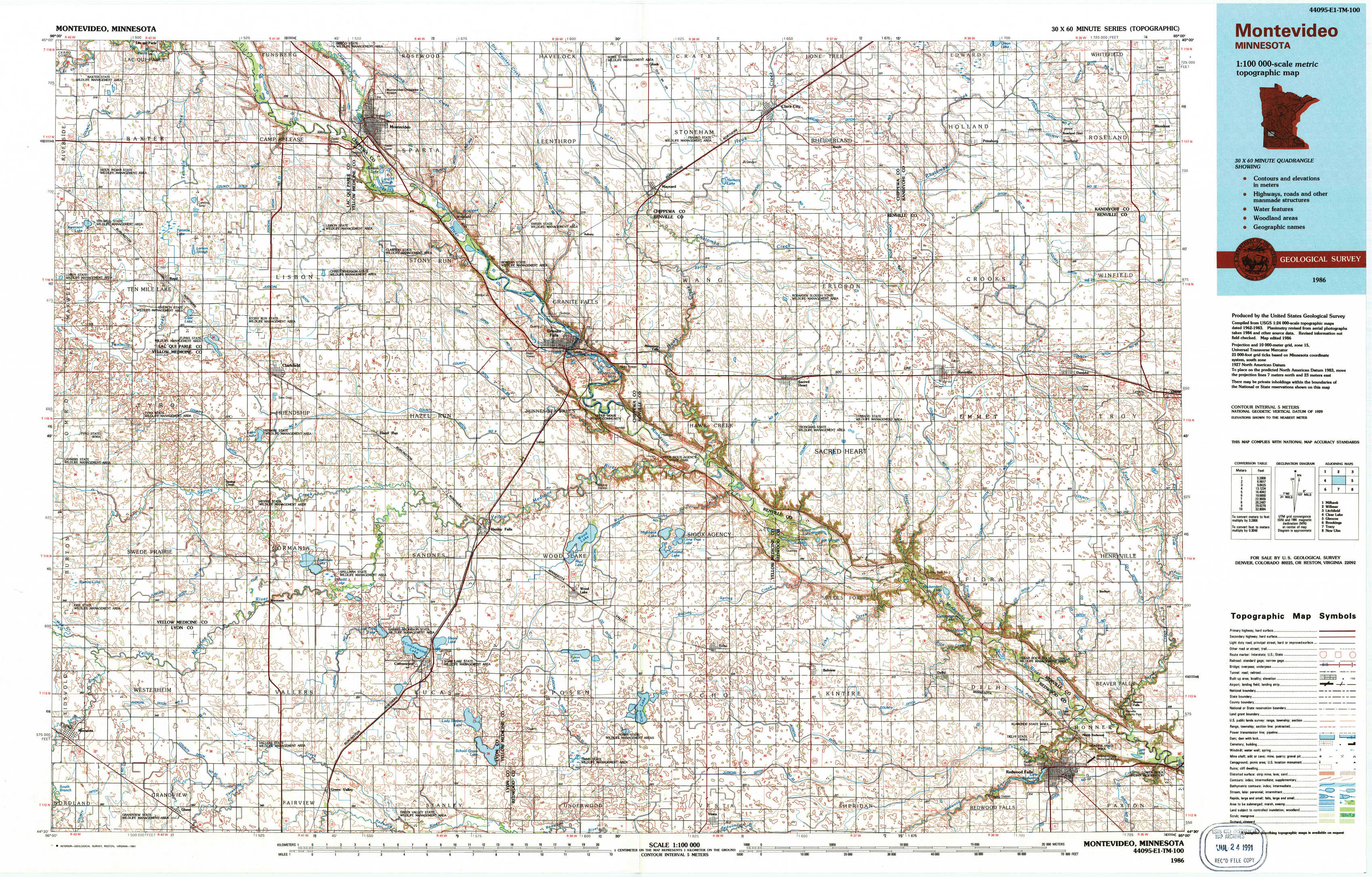
Montevideo Topo Map Minnesota
To zoom in, hover over the map of Montevideo
USGS Topo Map 44095e1 - 1:100,000 scale
| Topo Map Name: | Montevideo |
| USGS Topo Quad ID: | 44095e1 |
| Print Size: | ca. 39" wide x 24" high |
| Southeast Coordinates: | 44.5° N latitude / 95° W longitude |
| Map Center Coordinates: | 44.75° N latitude / 95.5° W longitude |
| U.S. State: | MN |
| Filename: | 44095e1.jpg |
| Download Map JPG Image: | Montevideo topo map 1:100,000 scale |
| Map Type: | Topographic |
| Topo Series: | 30´x60´ |
| Map Scale: | 1:100,000 |
| Source of Map Images: | United States Geological Survey (USGS) |
| Alternate Map Versions: |
Montevideo MN 1986, updated 1986 Download PDF Buy paper map Montevideo MN 1986, updated 1991 Download PDF Buy paper map |
1:100,000 Topos surrounding Montevideo
Milbank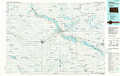 |
Willmar |
Litchfield |
Clear Lake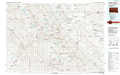 |
Montevideo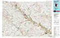 |
Glencoe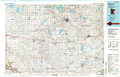 |
Brookings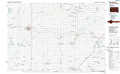 |
Tracy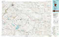 |
New Ulm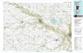 |
> Back to 44094a1 at 1:250,000 scale
> Back to U.S. Topo Maps home
1:24,000 Topo Quads covered by the spatial extent of this 100k map (Montevideo)
|
Tenmile Lake 
|
Clarkfield Ne 
|
Montevideo 
|
Asbury 
|
Maynard 
|
Clara City 
|
Prinsburg 
|
Blomkest 
|
|
Boyd 
|
Clarkfield 
|
Hazel Run 
|
Granite Falls 
|
Minnesota Falls 
|
Sacred Heart 
|
Renville 
|
Danube 
|
|
Minneota Nw 
|
Normania 
|
Wood Lake Nw 
|
Wood Lake 
|
Lone Tree Lake 
|
Iverson Lake 
|
Vicksburg 
|
Bechyn 
|
|
Minneota 
|
Green Valley 
|
Cottonwood 
|
School Grove Lake 
|
Echo 
|
Belview 
|
Delhi 
|
Redwood Falls 
|