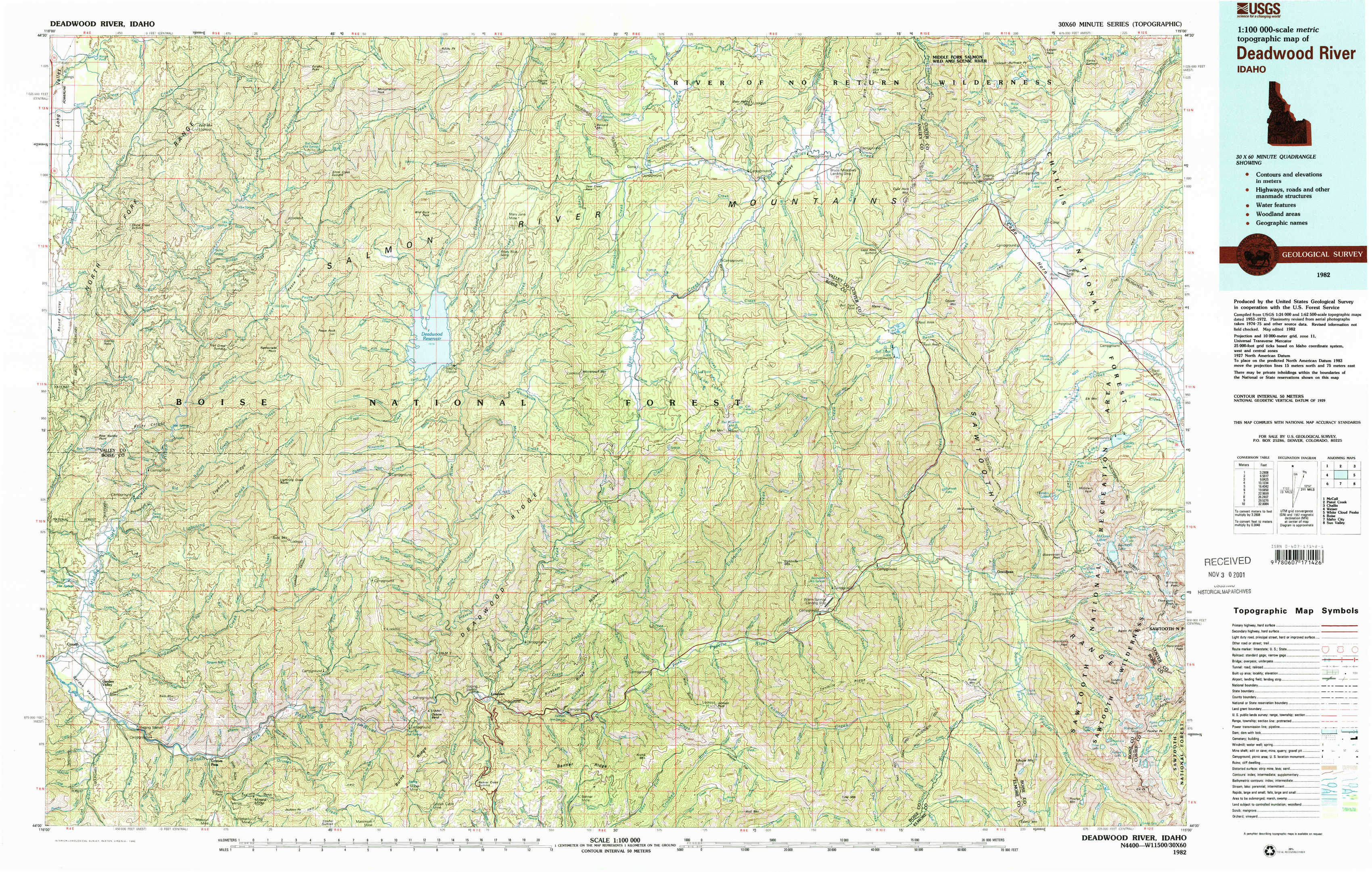
Deadwood River Topo Map Idaho
To zoom in, hover over the map of Deadwood River
USGS Topo Map 44115a1 - 1:100,000 scale
| Topo Map Name: | Deadwood River |
| USGS Topo Quad ID: | 44115a1 |
| Print Size: | ca. 39" wide x 24" high |
| Southeast Coordinates: | 44° N latitude / 115° W longitude |
| Map Center Coordinates: | 44.25° N latitude / 115.5° W longitude |
| U.S. State: | ID |
| Filename: | 44115a1.jpg |
| Download Map JPG Image: | Deadwood River topo map 1:100,000 scale |
| Map Type: | Topographic |
| Topo Series: | 30´x60´ |
| Map Scale: | 1:100,000 |
| Source of Map Images: | United States Geological Survey (USGS) |
| Alternate Map Versions: |
Deadwood River ID 1982, updated 1982 Download PDF Buy paper map |
1:100,000 Topos surrounding Deadwood River
Mc Call |
Pistol Creek |
Challis |
Weiser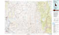 |
Deadwood River |
White Cloud Peaks |
Boise |
Idaho City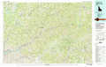 |
Sun Valley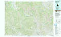 |
> Back to 44114a1 at 1:250,000 scale
> Back to U.S. Topo Maps home
1:24,000 Topo Quads covered by the spatial extent of this 100k map (Deadwood River)
|
Skunk Creek Summit 
|
Bull Creek Hot Springs 
|
Wild Buck Peak 
|
Bernard Mountain 
|
Bear Valley Mountain 
|
Blue Bunch Mountain 
|
Cape Horn Lakes 
|
Langer Peak 
|
|
Sixmile Point 
|
Boiling Springs 
|
Deadwood Reservoir 
|
Whitehawk Mountain 
|
Cache Creek 
|
Bull Trout Point 
|
Banner Summit 
|
Elk Meadow 
|
|
Pyle Creek 
|
Lightning Ridge 
|
Scott Creek 
|
Miller Mountain West 
|
Miller Mountain East 
|
Eightmile Mountain 
|
Grandjean 
|
Stanley Lake 
|
|
Garden Valley 
|
Grimes Pass 
|
Pine Flat 
|
Lowman 
|
Jackson Peak 
|
Tyee Mountain 
|
Edaho Mountain 
|
Warbonnet Peak 
|