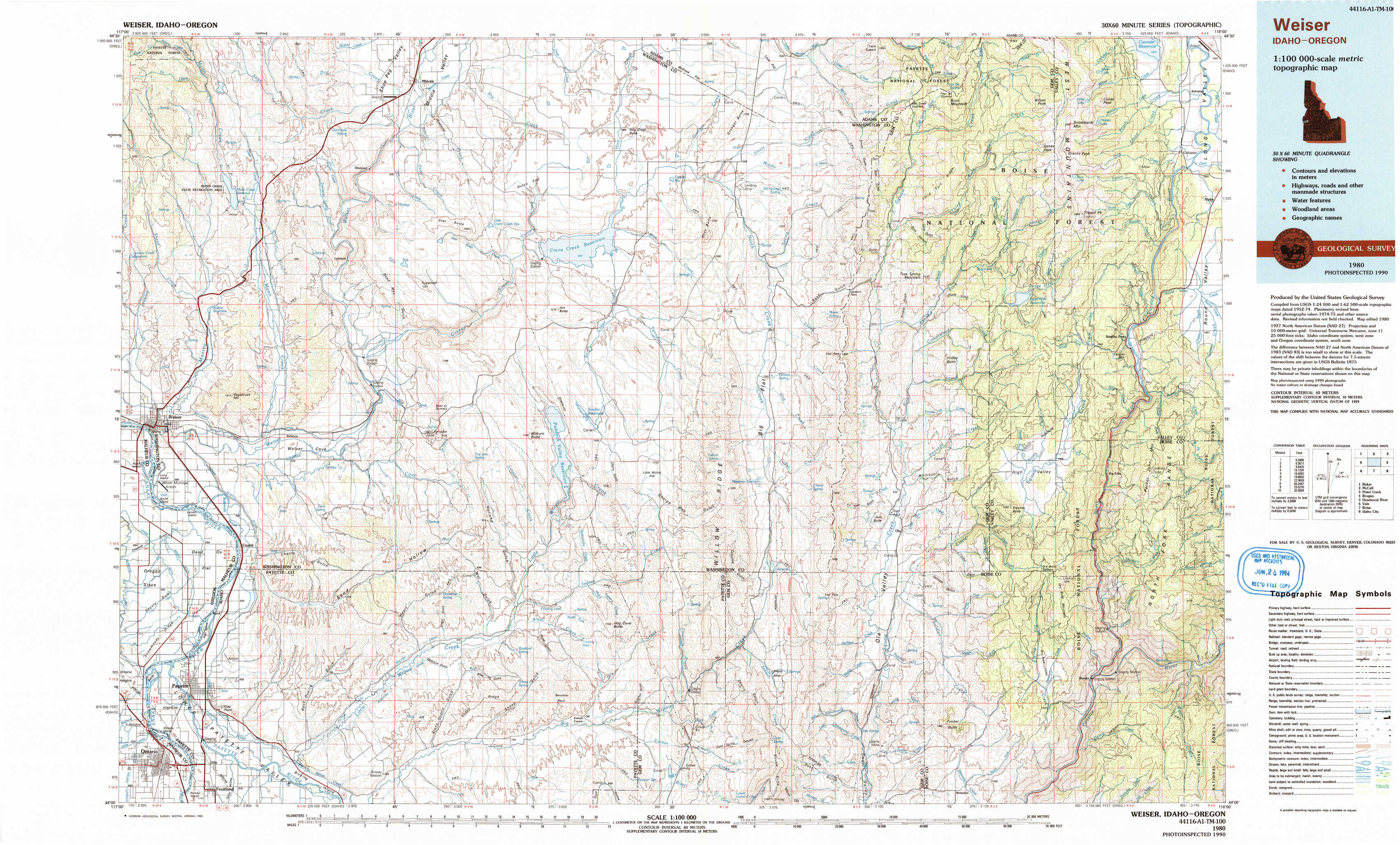
Weiser Topo Map Idaho
To zoom in, hover over the map of Weiser
USGS Topo Map 44116a1 - 1:100,000 scale
| Topo Map Name: | Weiser |
| USGS Topo Quad ID: | 44116a1 |
| Print Size: | ca. 39" wide x 24" high |
| Southeast Coordinates: | 44° N latitude / 116° W longitude |
| Map Center Coordinates: | 44.25° N latitude / 116.5° W longitude |
| U.S. States: | ID, OR |
| Filename: | 44116a1.jpg |
| Download Map JPG Image: | Weiser topo map 1:100,000 scale |
| Map Type: | Topographic |
| Topo Series: | 30´x60´ |
| Map Scale: | 1:100,000 |
| Source of Map Images: | United States Geological Survey (USGS) |
| Alternate Map Versions: |
Weiser ID 1980, updated 1993 Download PDF Buy paper map |
1:100,000 Topos surrounding Weiser
Baker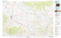 |
Mc Call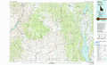 |
Pistol Creek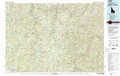 |
Brogan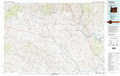 |
Weiser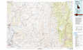 |
Deadwood River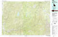 |
Vale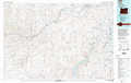 |
Boise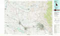 |
Idaho City |
> Back to 44116a1 at 1:250,000 scale
> Back to U.S. Topo Maps home
1:24,000 Topo Quads covered by the spatial extent of this 100k map (Weiser)
|
Mann Creek Nw 
|
Midvale Hill 
|
Midvale 
|
Hog Creek Butte 
|
Granger Butte 
|
Twin Sisters 
|
Tripod Peak 
|
Alpha 
|
|
Weiser North 
|
Mann Creek Se 
|
Nutmeg Flat 
|
Crane Creek Reservoir 
|
Riley Butte 
|
Dodson Pass 
|
Sage Hen Reservoir 
|
Smiths Ferry 
|
|
Weiser South 
|
Weiser Cove 
|
Holland Gulch 
|
Paddock Valley Reservoir 
|
Coonrod Gulch 
|
Ola 
|
High Valley 
|
Packer John Mountain 
|
|
Payette 
|
Birding Island 
|
Sheep Ridge 
|
Hog Cove Butte 
|
Squaw Butte 
|
Webb Creek 
|
Dry Buck Valley 
|
Banks 
|