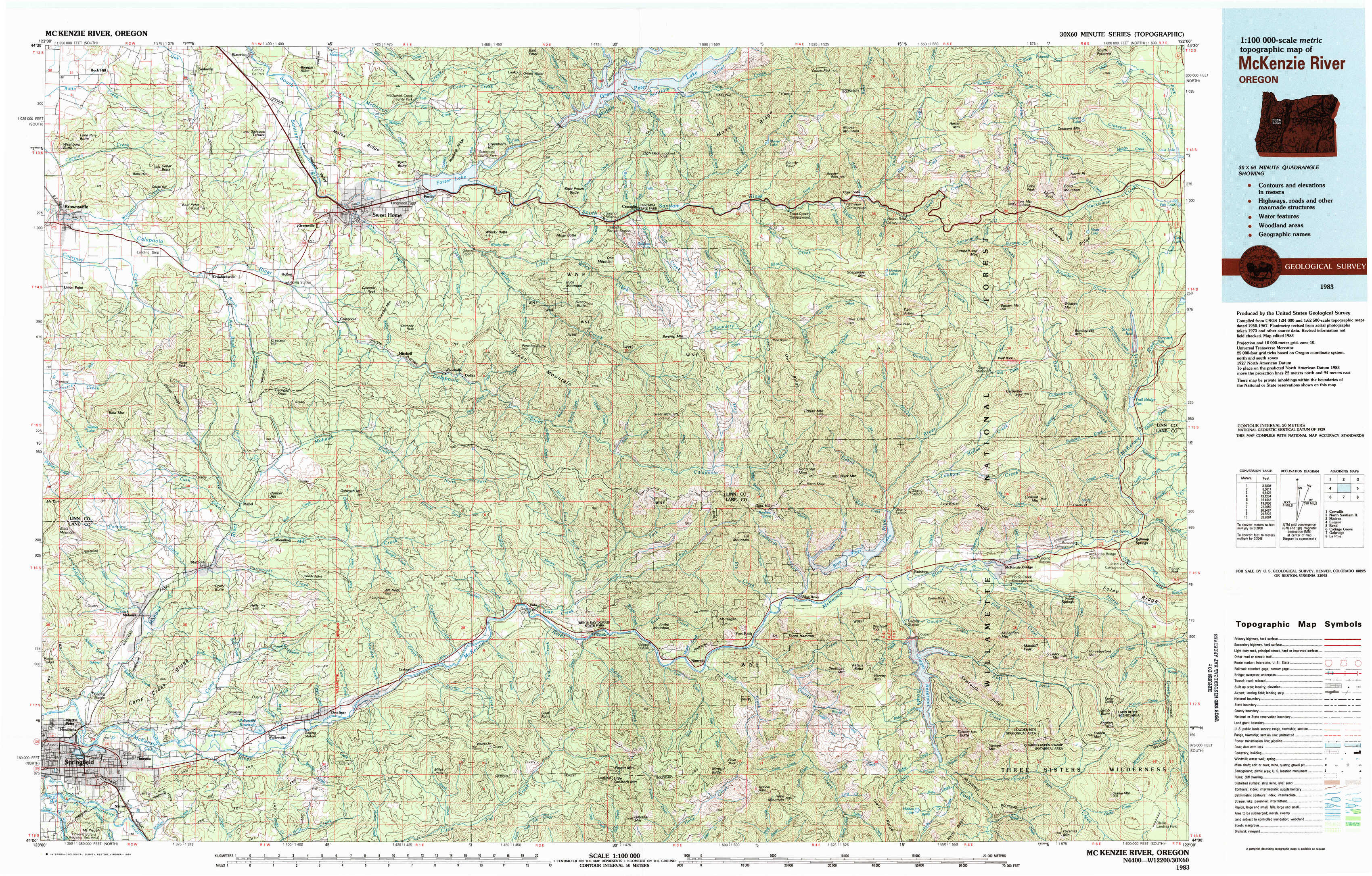
Mc Kenzie River Topo Map Oregon
To zoom in, hover over the map of Mc Kenzie River
USGS Topo Map 44122a1 - 1:100,000 scale
| Topo Map Name: | Mc Kenzie River |
| USGS Topo Quad ID: | 44122a1 |
| Print Size: | ca. 39" wide x 24" high |
| Southeast Coordinates: | 44° N latitude / 122° W longitude |
| Map Center Coordinates: | 44.25° N latitude / 122.5° W longitude |
| U.S. State: | OR |
| Filename: | 44122a1.jpg |
| Download Map JPG Image: | Mc Kenzie River topo map 1:100,000 scale |
| Map Type: | Topographic |
| Topo Series: | 30´x60´ |
| Map Scale: | 1:100,000 |
| Source of Map Images: | United States Geological Survey (USGS) |
| Alternate Map Versions: |
Mc Kenzie River OR 1983, updated 1984 Download PDF Buy paper map |
1:100,000 Topos surrounding Mc Kenzie River
Corvallis |
North Santiam River |
Madras |
Eugene |
Mc Kenzie River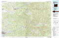 |
Bend |
Cottage Grove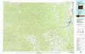 |
Oakridge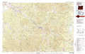 |
La Pine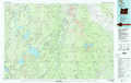 |
> Back to 44122a1 at 1:250,000 scale
> Back to U.S. Topo Maps home
1:24,000 Topo Quads covered by the spatial extent of this 100k map (Mc Kenzie River)
|
Brownsville 
|
Waterloo 
|
Sweet Home 
|
Green Peter 
|
Cascadia 
|
Upper Soda 
|
Harter Mountain 
|
Echo Mountain 
|
|
Union Point 
|
Crawfordsville 
|
Chandler Mountain 
|
Farmers Butte 
|
Swamp Mountain 
|
Tidbits Mountain 
|
Carpenter Mountain 
|
Tamolitch Falls 
|
|
Mohawk 
|
Marcola 
|
Mount Nebo 
|
Vida 
|
Mount Hagan 
|
Blue River 
|
Mckenzie Bridge 
|
Belknap Springs 
|
|
Springfield 
|
Walterville 
|
Leaburg 
|
Goat Mountain 
|
Nimrod 
|
Harvey Mountain 
|
Cougar Reservoir 
|
French Mountain 
|