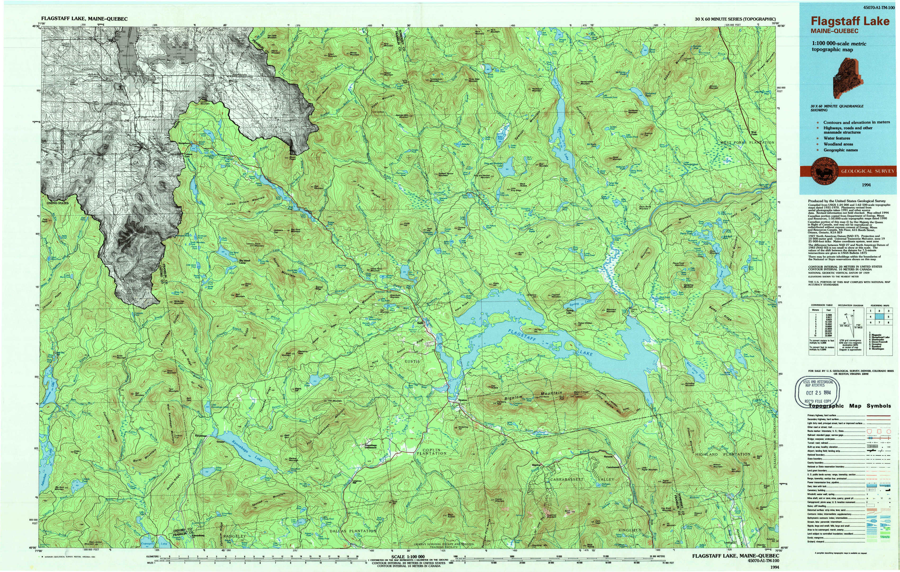
Flagstaff Lake Topo Map Maine
To zoom in, hover over the map of Flagstaff Lake
USGS Topo Map 45070a1 - 1:100,000 scale
| Topo Map Name: | Flagstaff Lake |
| USGS Topo Quad ID: | 45070a1 |
| Print Size: | ca. 39" wide x 24" high |
| Southeast Coordinates: | 45° N latitude / 70° W longitude |
| Map Center Coordinates: | 45.25° N latitude / 70.5° W longitude |
| U.S. State: | ME |
| Filename: | 45070a1.jpg |
| Download Map JPG Image: | Flagstaff Lake topo map 1:100,000 scale |
| Map Type: | Topographic |
| Topo Series: | 30´x60´ |
| Map Scale: | 1:100,000 |
| Source of Map Images: | United States Geological Survey (USGS) |
| Alternate Map Versions: |
Flagstaff Lake ME 1986, updated 1986 Download PDF Buy paper map Flagstaff Lake ME 1994, updated 1994 Download PDF Buy paper map |
1:100,000 Topos surrounding Flagstaff Lake
Megantic |
Moosehead Lake |
|
Sherbrooke |
Flagstaff Lake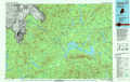 |
Dover-Foxcroft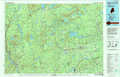 |
Groveton |
Rumford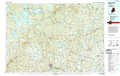 |
Skowhegan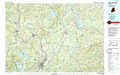 |
> Back to 45070a1 at 1:250,000 scale
> Back to U.S. Topo Maps home
1:24,000 Topo Quads covered by the spatial extent of this 100k map (Flagstaff Lake)
|
Louise Mountain 
|
Merrill Mountain 
|
Kibby Mountain 
|
Tumbledown Mountain 
|
Spencer Lake 
|
Enchanted Pond 
|
Johnson Mountain 
|
|
|
Twin Peaks 
|
Northwest Pond 
|
Chain Of Ponds 
|
Jim Pond 
|
King And Bartlett Mountain 
|
King And Bartlett Lake 
|
Basin Mountain 
|
Pierce Pond 
|
|
Parmachenee Lake 
|
Little Kennebago Lake 
|
Black Mountain 
|
Tim Mountain 
|
Stratton 
|
The Horns 
|
Little Bigelow Mountain 
|
East Carry Pond 
|
|
Lincoln Pond 
|
Kennebago 
|
Kennebago Lake 
|
Quill Hill 
|
Black Nubble 
|
Sugarloaf Mountain 
|
Poplar Mountain 
|
Witham Mountain 
|