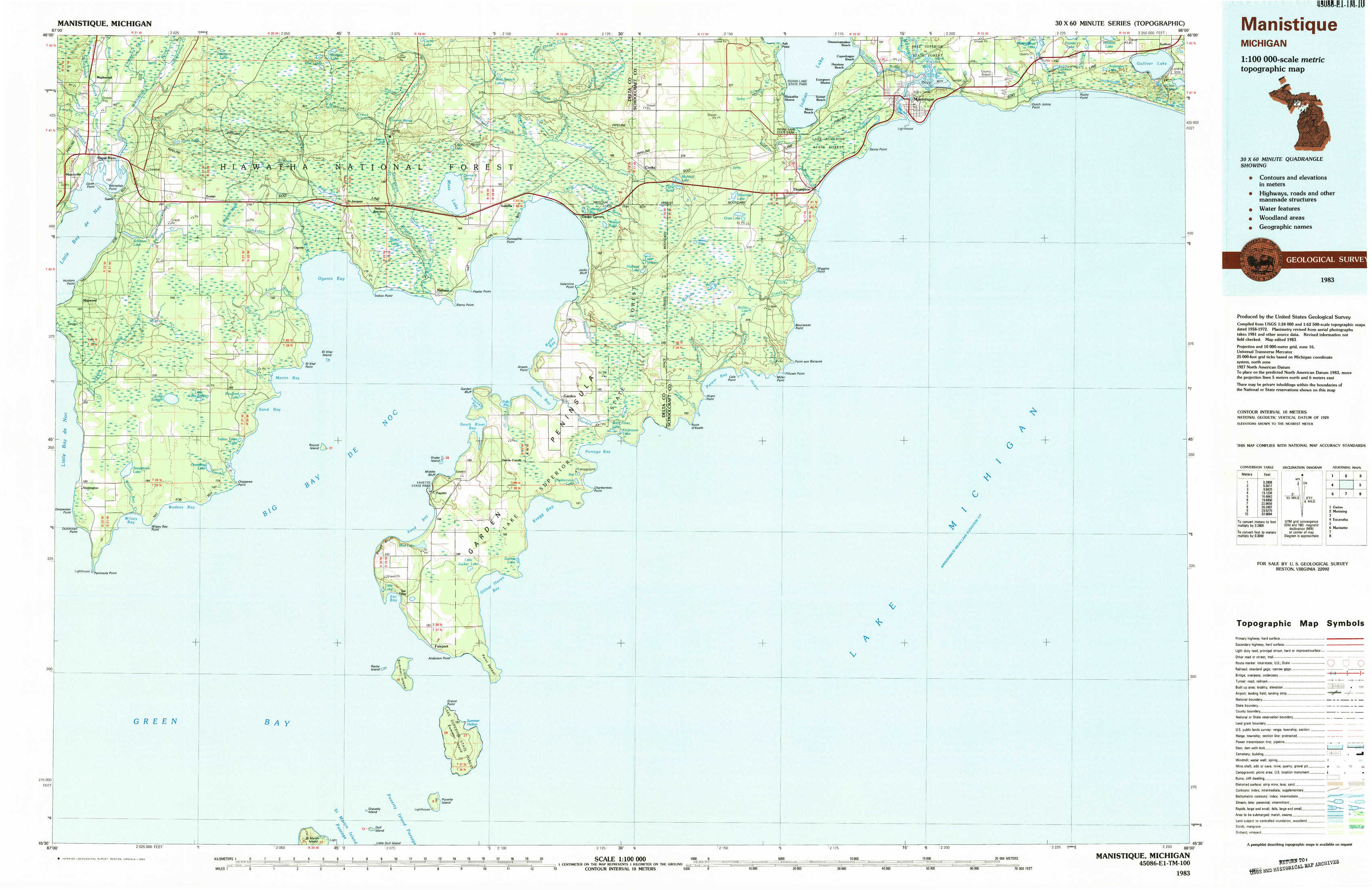
Manistique Topo Map Michigan
To zoom in, hover over the map of Manistique
USGS Topo Map 45086e1 - 1:100,000 scale
| Topo Map Name: | Manistique |
| USGS Topo Quad ID: | 45086e1 |
| Print Size: | ca. 39" wide x 24" high |
| Southeast Coordinates: | 45.5° N latitude / 86° W longitude |
| Map Center Coordinates: | 45.75° N latitude / 86.5° W longitude |
| U.S. State: | MI |
| Filename: | 45086e1.jpg |
| Download Map JPG Image: | Manistique topo map 1:100,000 scale |
| Map Type: | Topographic |
| Topo Series: | 30´x60´ |
| Map Scale: | 1:100,000 |
| Source of Map Images: | United States Geological Survey (USGS) |
| Alternate Map Versions: |
Manistique MI 1983, updated 1983 Download PDF Buy paper map |
1:100,000 Topos surrounding Manistique
Gwinn |
Munising |
Manistique Lake |
Escanaba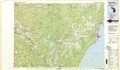 |
Manistique |
Beaver Island |
Marinette |
Washington Island |
Charlevoix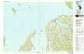 |
> Back to 45086a1 at 1:250,000 scale
> Back to U.S. Topo Maps home
1:24,000 Topo Quads covered by the spatial extent of this 100k map (Manistique)
|
Rapid River 
|
Ensign 
|
Saint Jacques 
|
Garden Corners 
|
Cooks 
|
Manistique West 
|
Manistique East 
|
Gulliver 
|
|
Maywood 
|
Ogontz 
|
Nahma 
|
Gardner 
|
Hiram Point 
|
Point Aux Barques 
|
||
|
Peninsula Point 
|
Chippewa Point 
|
Fayette 
|
Devils Corner 
|
||||
|
Fairport 
|
Point Detour 
|