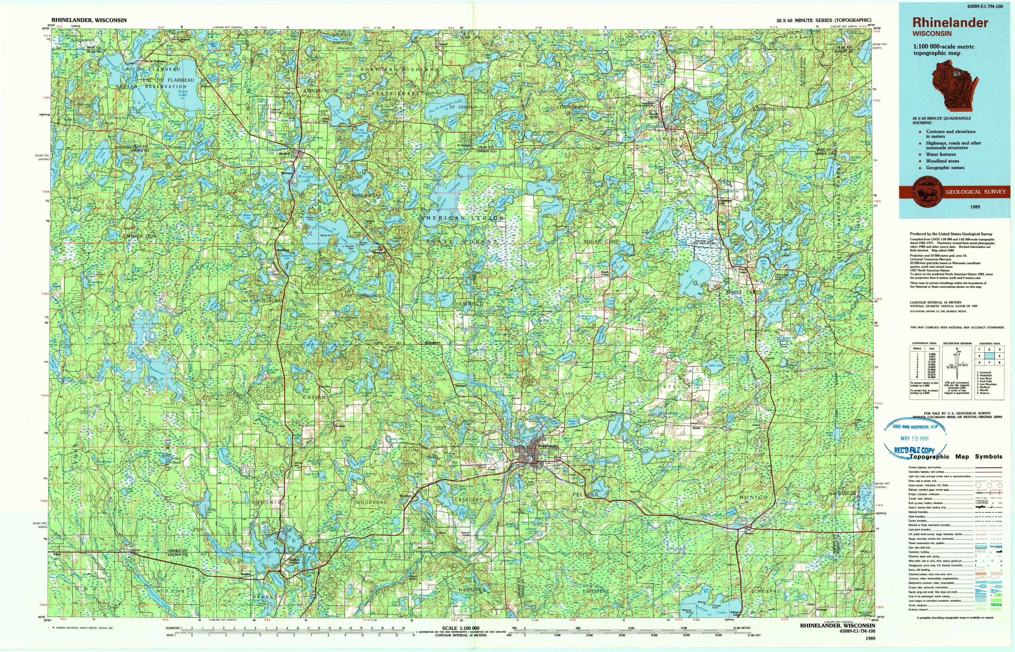
Rhinelander Topo Map Wisconsin
To zoom in, hover over the map of Rhinelander
USGS Topo Map 45089e1 - 1:100,000 scale
| Topo Map Name: | Rhinelander |
| USGS Topo Quad ID: | 45089e1 |
| Print Size: | ca. 39" wide x 24" high |
| Southeast Coordinates: | 45.5° N latitude / 89° W longitude |
| Map Center Coordinates: | 45.75° N latitude / 89.5° W longitude |
| U.S. State: | WI |
| Filename: | 45089e1.jpg |
| Download Map JPG Image: | Rhinelander topo map 1:100,000 scale |
| Map Type: | Topographic |
| Topo Series: | 30´x60´ |
| Map Scale: | 1:100,000 |
| Source of Map Images: | United States Geological Survey (USGS) |
| Alternate Map Versions: |
Rhinelander WI 1989, updated 1990 Download PDF Buy paper map |
1:100,000 Topos surrounding Rhinelander
Ironwood |
Wakefield |
Iron River |
Park Falls |
Rhinelander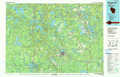 |
Iron Mountain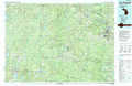 |
Medford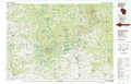 |
Merrill |
Wabeno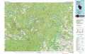 |
> Back to 45088a1 at 1:250,000 scale
> Back to U.S. Topo Maps home
1:24,000 Topo Quads covered by the spatial extent of this 100k map (Rhinelander)
|
Lac Du Flambeau 
|
Fence Lake 
|
Woodruff 
|
Sayner 
|
Saint Germain 
|
Eagle River West 
|
Eagle River East 
|
Anvil Lake 
|
|
Lac Du Flambeau Sw 
|
Mercer Lake 
|
Hazelhurst 
|
Lake Tomahawk 
|
Dam Lake 
|
Sugar Camp 
|
Three Lakes 
|
Julia Lake 
|
|
Pier Lake 
|
Burrows Lake 
|
Harshaw 
|
Mcnaughton 
|
Reinlander 
|
Moen Laek 
|
Starks 
|
Monico Ne 
|
|
Tripoli 
|
Bradley 
|
Heafford Junction 
|
Woodboro 
|
Lake Julia 
|
George Lake 
|
Monico 
|
Nashville 
|