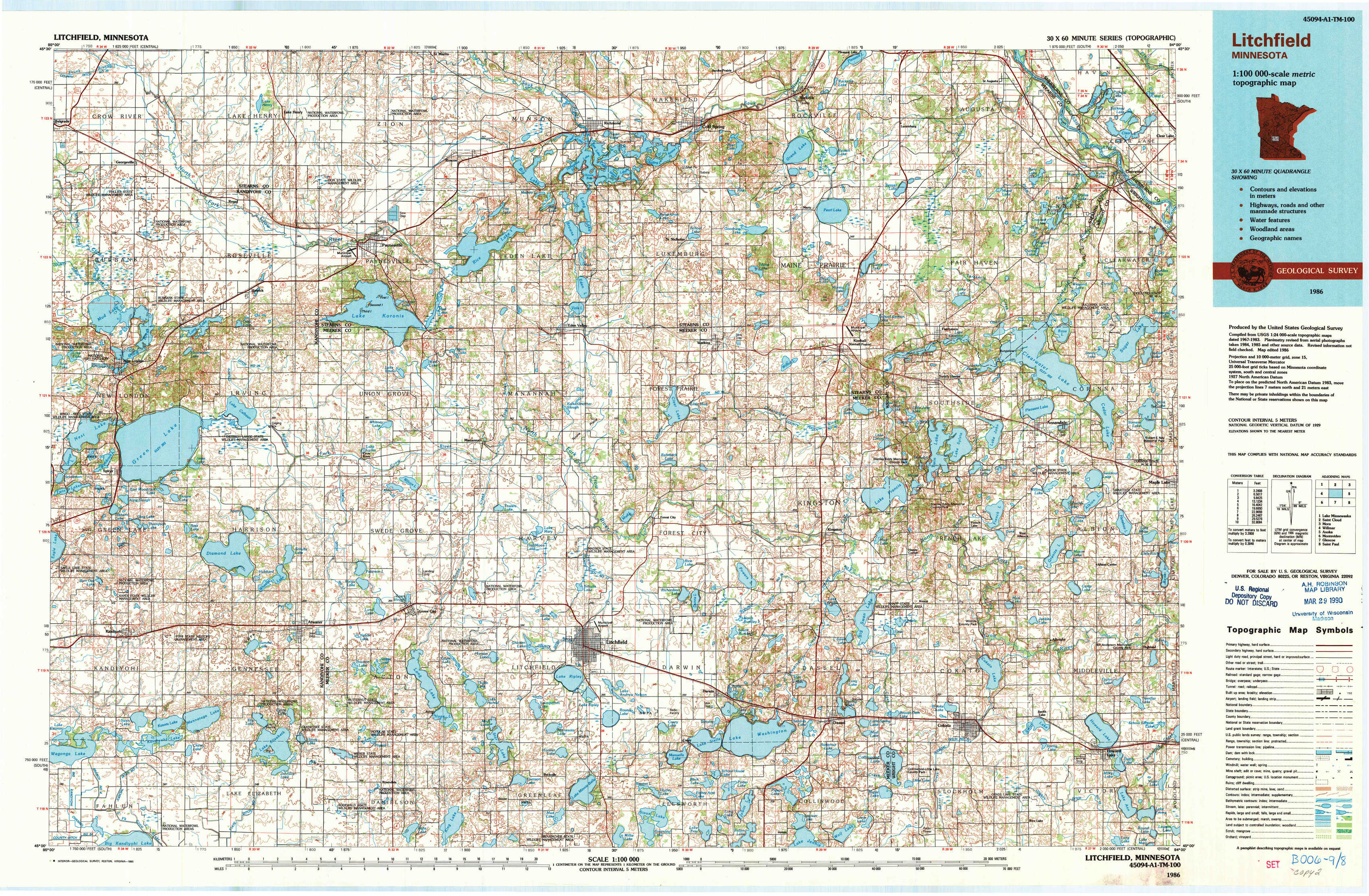
Litchfield Topo Map Minnesota
To zoom in, hover over the map of Litchfield
USGS Topo Map 45094a1 - 1:100,000 scale
| Topo Map Name: | Litchfield |
| USGS Topo Quad ID: | 45094a1 |
| Print Size: | ca. 39" wide x 24" high |
| Southeast Coordinates: | 45° N latitude / 94° W longitude |
| Map Center Coordinates: | 45.25° N latitude / 94.5° W longitude |
| U.S. State: | MN |
| Filename: | 45094a1.jpg |
| Download Map JPG Image: | Litchfield topo map 1:100,000 scale |
| Map Type: | Topographic |
| Topo Series: | 30´x60´ |
| Map Scale: | 1:100,000 |
| Source of Map Images: | United States Geological Survey (USGS) |
| Alternate Map Versions: |
Litchfield MN 1986, updated 1986 Download PDF Buy paper map Litchfield MN 1986, updated 1990 Download PDF Buy paper map |
1:100,000 Topos surrounding Litchfield
Lake Minnewaska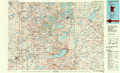 |
Saint Cloud |
Mora |
Willmar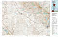 |
Litchfield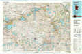 |
Anoka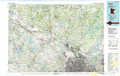 |
Montevideo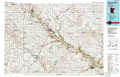 |
Glencoe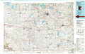 |
Saint Paul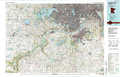 |
> Back to 45094a1 at 1:250,000 scale
> Back to U.S. Topo Maps home
1:24,000 Topo Quads covered by the spatial extent of this 100k map (Litchfield)
|
Georgeville 
|
Lake Henry 
|
Paynesville 
|
Richmond 
|
Cold Spring 
|
Rockville 
|
Saint Augusta 
|
Clearwater 
|
|
New London 
|
Hawick 
|
Lake Koronis 
|
Eden Valley 
|
Watkins 
|
Kimball 
|
South Haven 
|
Annandale 
|
|
Spicer 
|
Atwater 
|
Grove City 
|
Litchfield North 
|
Forest City 
|
Kingston 
|
French Lake 
|
Albion Center 
|
|
Little Kandiyohi Lake 
|
Lake Elizabeth 
|
Rosendale 
|
Litchfield South 
|
Darwin 
|
Dassel 
|
Cokato 
|
Howard Lake 
|