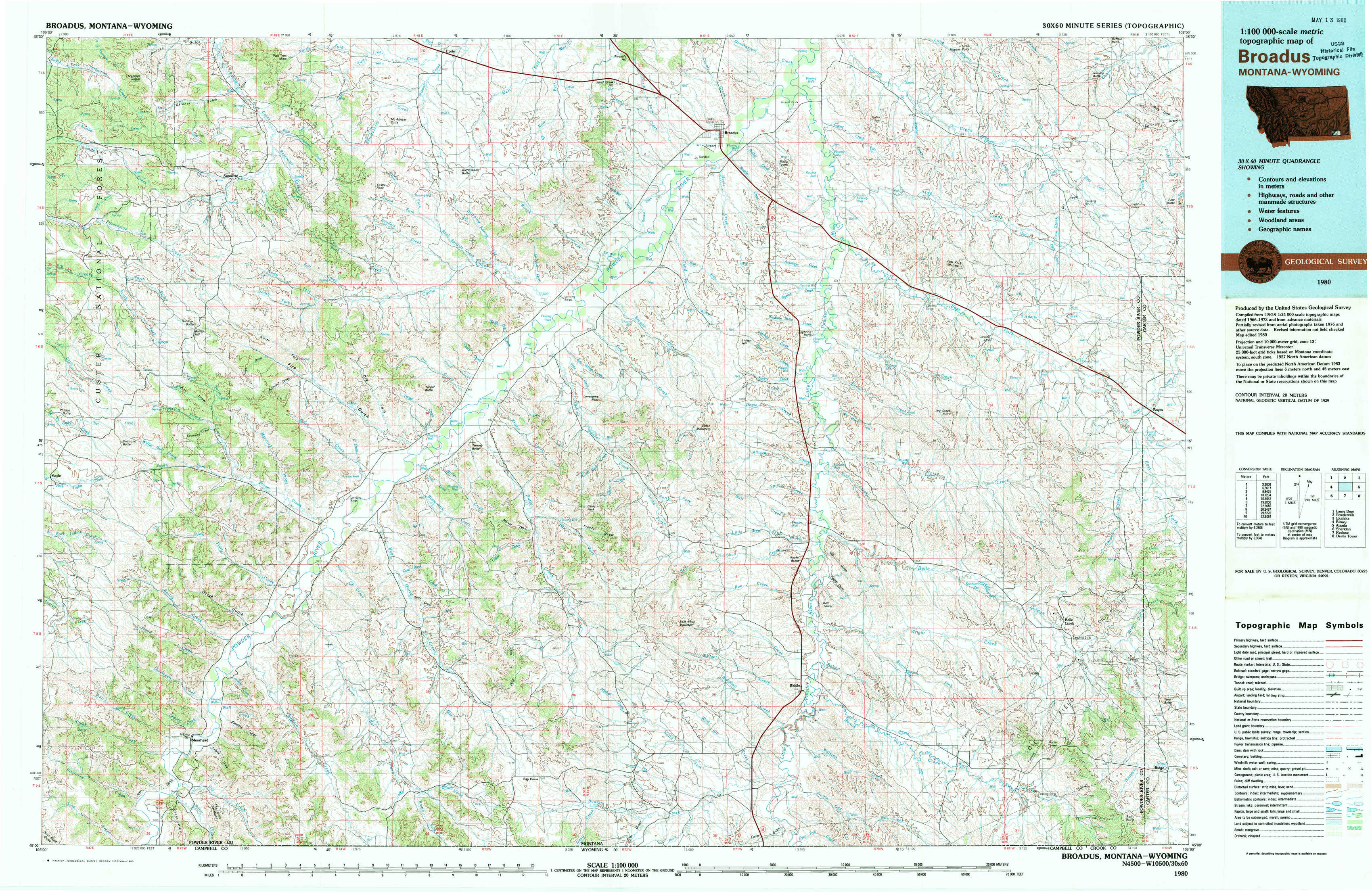
Broadus Topo Map Montana
To zoom in, hover over the map of Broadus
USGS Topo Map 45105a1 - 1:100,000 scale
| Topo Map Name: | Broadus |
| USGS Topo Quad ID: | 45105a1 |
| Print Size: | ca. 39" wide x 24" high |
| Southeast Coordinates: | 45° N latitude / 105° W longitude |
| Map Center Coordinates: | 45.25° N latitude / 105.5° W longitude |
| U.S. States: | MT, WY |
| Filename: | 45105a1.jpg |
| Download Map JPG Image: | Broadus topo map 1:100,000 scale |
| Map Type: | Topographic |
| Topo Series: | 30´x60´ |
| Map Scale: | 1:100,000 |
| Source of Map Images: | United States Geological Survey (USGS) |
| Alternate Map Versions: |
Broadus MT 1980, updated 1980 Download PDF Buy paper map |
1:100,000 Topos surrounding Broadus
Lame Deer |
Powderville |
Ekalaka |
Birney |
Broadus |
Alzada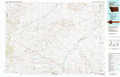 |
Sheridan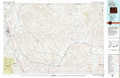 |
Recluse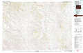 |
Devils Tower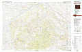 |
> Back to 45104a1 at 1:250,000 scale
> Back to U.S. Topo Maps home
1:24,000 Topo Quads covered by the spatial extent of this 100k map (Broadus)
|
Threemile Buttes 
|
Sonnette 
|
Epsie 
|
Epsie Ne 
|
Broadus 
|
Monday Creek 
|
Little Pilgrim Butte 
|
Lightning Butte 
|
|
Phillips Butte 
|
Hodsdon Flats 
|
Yarger Butte 
|
Lonesome Peak 
|
Eldon Mountain 
|
Fighting Butte 
|
Dry Creek Butte 
|
Boyes 
|
|
Sayle 
|
Bloom Creek 
|
Huckins School 
|
Baldy Peak 
|
Bear Skull Mountain 
|
Pine Creek 
|
Sanburn Reservoir 
|
Belle Creek North 
|
|
Bradshaw Creek 
|
Moorhead 
|
Three Bar Ranch 
|
Bay Horse 
|
Wild Bill Creek 
|
Biddle 
|
Belle Creek Sw 
|
Belle Creek South 
|