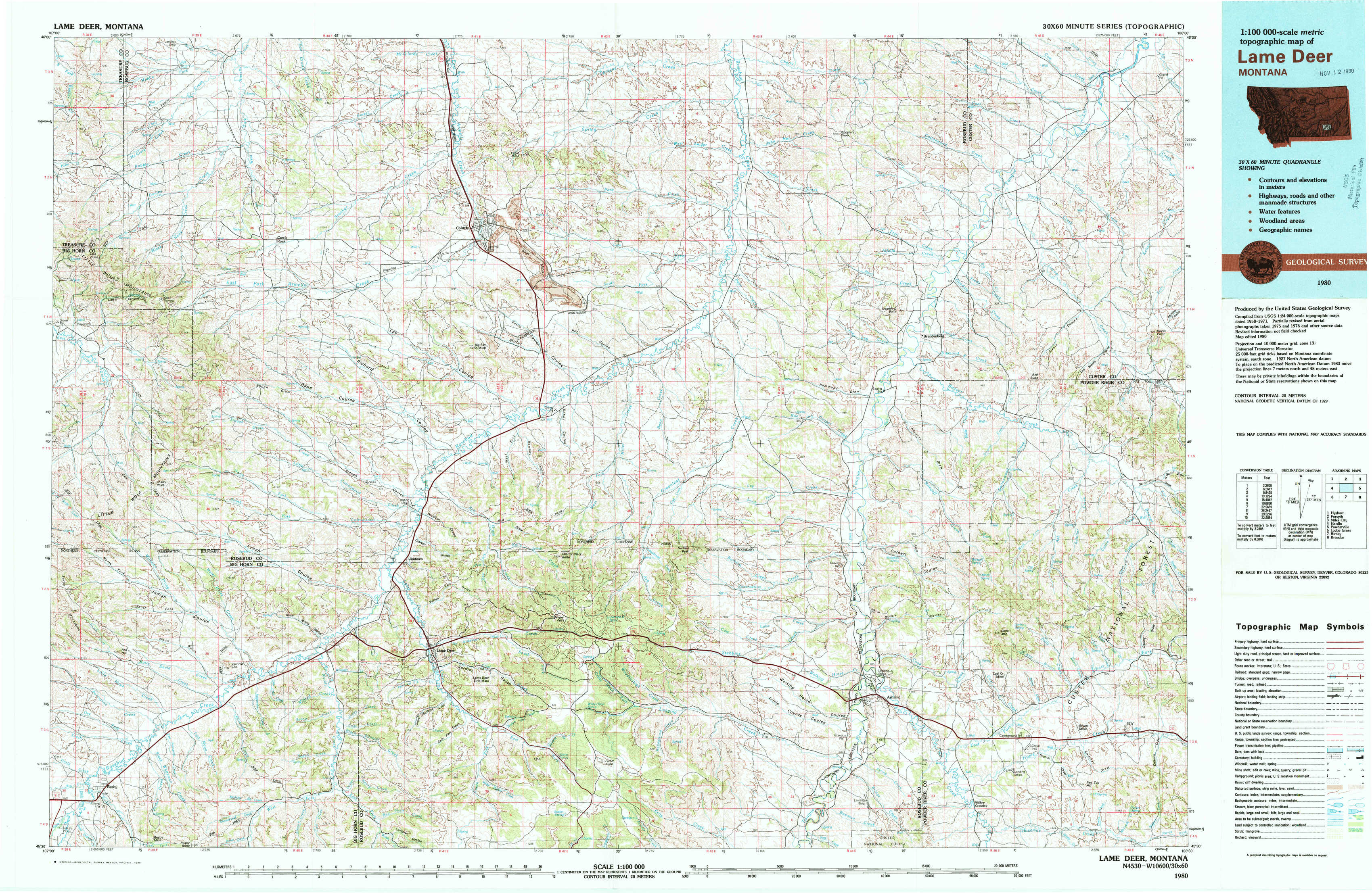
Lame Deer Topo Map Montana
To zoom in, hover over the map of Lame Deer
USGS Topo Map 45106e1 - 1:100,000 scale
| Topo Map Name: | Lame Deer |
| USGS Topo Quad ID: | 45106e1 |
| Print Size: | ca. 39" wide x 24" high |
| Southeast Coordinates: | 45.5° N latitude / 106° W longitude |
| Map Center Coordinates: | 45.75° N latitude / 106.5° W longitude |
| U.S. State: | MT |
| Filename: | 45106e1.jpg |
| Download Map JPG Image: | Lame Deer topo map 1:100,000 scale |
| Map Type: | Topographic |
| Topo Series: | 30´x60´ |
| Map Scale: | 1:100,000 |
| Source of Map Images: | United States Geological Survey (USGS) |
| Alternate Map Versions: |
Lame Deer MT 1980, updated 1980 Download PDF Buy paper map |
1:100,000 Topos surrounding Lame Deer
Hysham |
Forsyth |
Miles City |
Hardin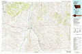 |
Lame Deer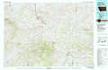 |
Powderville |
Lodge Grass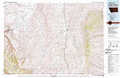 |
Birney |
Broadus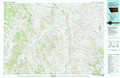 |
> Back to 45106a1 at 1:250,000 scale
> Back to U.S. Topo Maps home
1:24,000 Topo Quads covered by the spatial extent of this 100k map (Lame Deer)
|
Mcclure Creek 
|
Trail Creek School 
|
Colstrip West 
|
Colstrip East 
|
Hammond Draw Nw 
|
John Hen Creek 
|
Brandenberg Nw 
|
H S School 
|
|
Sarpy School 
|
Rough Draw 
|
Colstrip Sw 
|
Colstrip Se 
|
Hammond Draw Sw 
|
Hammond Draw 
|
Brandenberg 
|
Hayes Point 
|
|
Chalky Point 
|
Black Spring 
|
Jimtown 
|
Badger Peak 
|
Garfield Peak 
|
Ashland Ne 
|
Cook Creek Reservoir 
|
Beaver Creek School 
|
|
Busby 
|
Painted Hill 
|
Lame Deer 
|
Fisher Butte 
|
Hollowwood Creek 
|
Ashland 
|
Willow Crossing 
|
Coleman Draw 
|