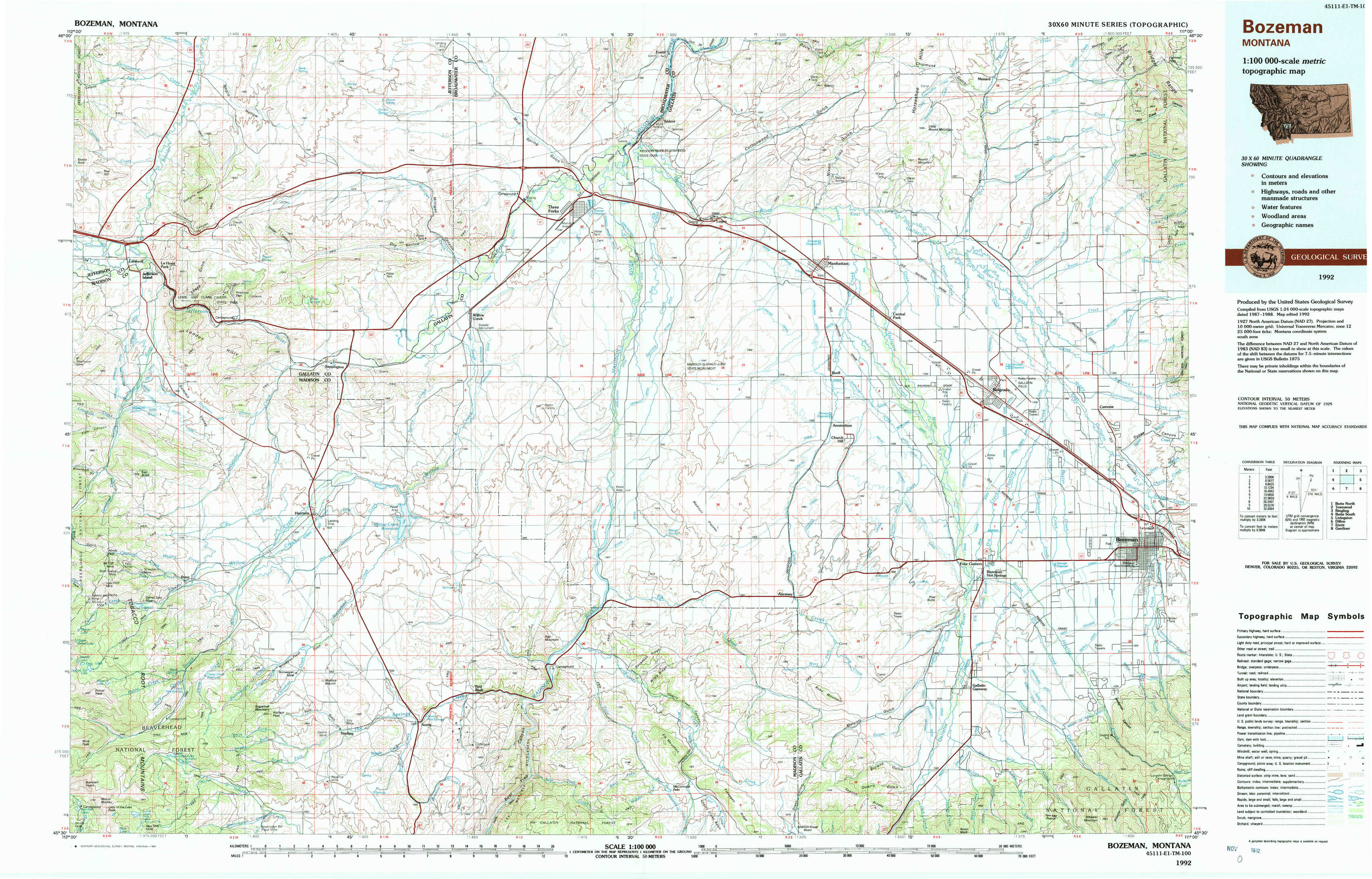
Bozeman Topo Map Montana
To zoom in, hover over the map of Bozeman
USGS Topo Map 45111e1 - 1:100,000 scale
| Topo Map Name: | Bozeman |
| USGS Topo Quad ID: | 45111e1 |
| Print Size: | ca. 39" wide x 24" high |
| Southeast Coordinates: | 45.5° N latitude / 111° W longitude |
| Map Center Coordinates: | 45.75° N latitude / 111.5° W longitude |
| U.S. State: | MT |
| Filename: | 45111e1.jpg |
| Download Map JPG Image: | Bozeman topo map 1:100,000 scale |
| Map Type: | Topographic |
| Topo Series: | 30´x60´ |
| Map Scale: | 1:100,000 |
| Source of Map Images: | United States Geological Survey (USGS) |
| Alternate Map Versions: |
Bozeman MT 1992, updated 1992 Download PDF Buy paper map |
1:100,000 Topos surrounding Bozeman
Butte North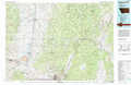 |
Townsend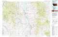 |
Ringling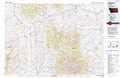 |
Butte South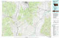 |
Bozeman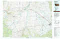 |
Livingston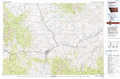 |
Dillon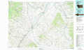 |
Ennis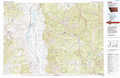 |
Gardiner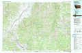 |
> Back to 45110a1 at 1:250,000 scale
> Back to U.S. Topo Maps home
1:24,000 Topo Quads covered by the spatial extent of this 100k map (Bozeman)
|
Doherty Mountain 
|
Negro Hollow 
|
Milligan Canyon 
|
Three Forks 
|
Logan 
|
Nixon Gulch 
|
Horseshoe Creek 
|
Flathead Pass 
|
|
Jefferson Island 
|
Sappington 
|
Willow Creek 
|
Three Forks Se 
|
Manhattan Sw 
|
Manhattan 
|
Belgrade 
|
Miser Creek 
|
|
Pony 
|
Harrison 
|
Willow Creek Reservoir 
|
Norris Ne 
|
Madison Plateau 
|
Anceney 
|
Bozeman Hot Springs 
|
Bozeman 
|
|
Potosi Peak 
|
Maltbys Mound 
|
Norris 
|
Bear Trap Creek 
|
Cherry Creek Canyon 
|
Ruby Mountain 
|
Gallatin Gateway 
|
Wheeler Mountain 
|