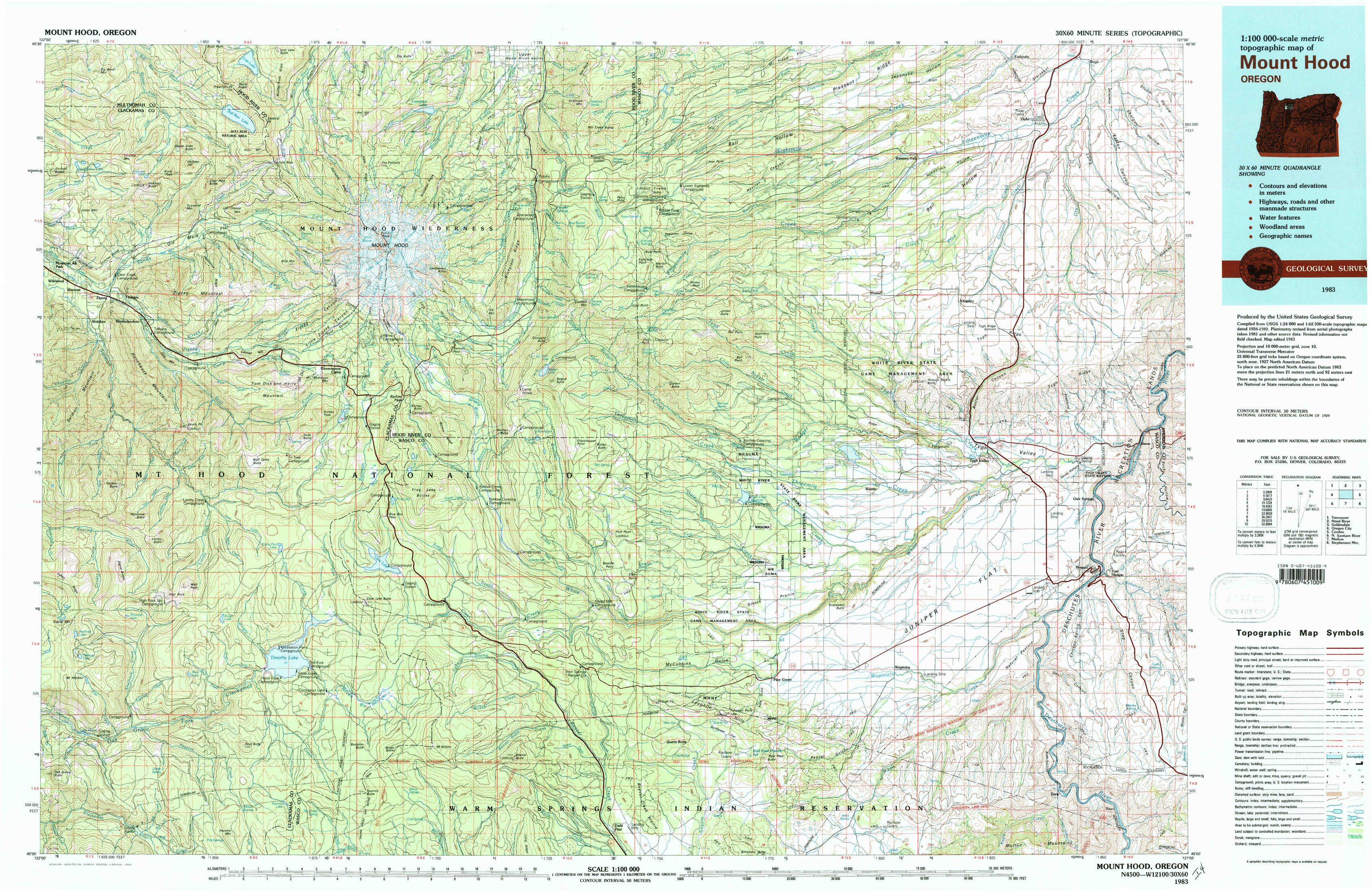
Mount Hood Topo Map Oregon
To zoom in, hover over the map of Mount Hood
USGS Topo Map 45121a1 - 1:100,000 scale
| Topo Map Name: | Mount Hood |
| USGS Topo Quad ID: | 45121a1 |
| Print Size: | ca. 39" wide x 24" high |
| Southeast Coordinates: | 45° N latitude / 121° W longitude |
| Map Center Coordinates: | 45.25° N latitude / 121.5° W longitude |
| U.S. State: | OR |
| Filename: | 45121a1.jpg |
| Download Map JPG Image: | Mount Hood topo map 1:100,000 scale |
| Map Type: | Topographic |
| Topo Series: | 30´x60´ |
| Map Scale: | 1:100,000 |
| Source of Map Images: | United States Geological Survey (USGS) |
| Alternate Map Versions: |
Mount Hood OR 1983, updated 1983 Download PDF Buy paper map |
1:100,000 Topos surrounding Mount Hood
Vancouver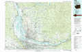 |
Hood River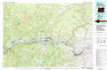 |
Goldendale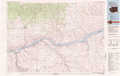 |
Oregon City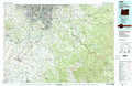 |
Mount Hood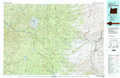 |
Condon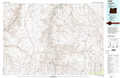 |
North Santiam River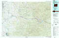 |
Madras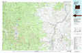 |
Stephenson Mountain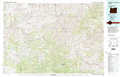 |
> Back to 45120a1 at 1:250,000 scale
> Back to U.S. Topo Maps home
1:24,000 Topo Quads covered by the spatial extent of this 100k map (Mount Hood)
|
Hickman Butte 
|
Bull Run Lake 
|
Mount Hood North 
|
Dog River 
|
Fivemile Butte 
|
Wolf Run 
|
Dufur West 
|
Dufur East 
|
|
Rhododendron 
|
Government Camp 
|
Mount Hood South 
|
Badger Lake 
|
Flag Point 
|
Friend 
|
Postage Stamp Butte 
|
Sherars Bridge 
|
|
High Rock 
|
Wolf Peak 
|
Wapinitia Pass 
|
Post Point 
|
Rock Creek Reservoir 
|
Wamic 
|
Tygh Valley 
|
Maupin 
|
|
Mount Mitchell 
|
Timothy Lake 
|
Mount Wilson 
|
Beaver Butte 
|
Foreman Point 
|
Wapinitia 
|
Maupin Sw 
|
Dant 
|