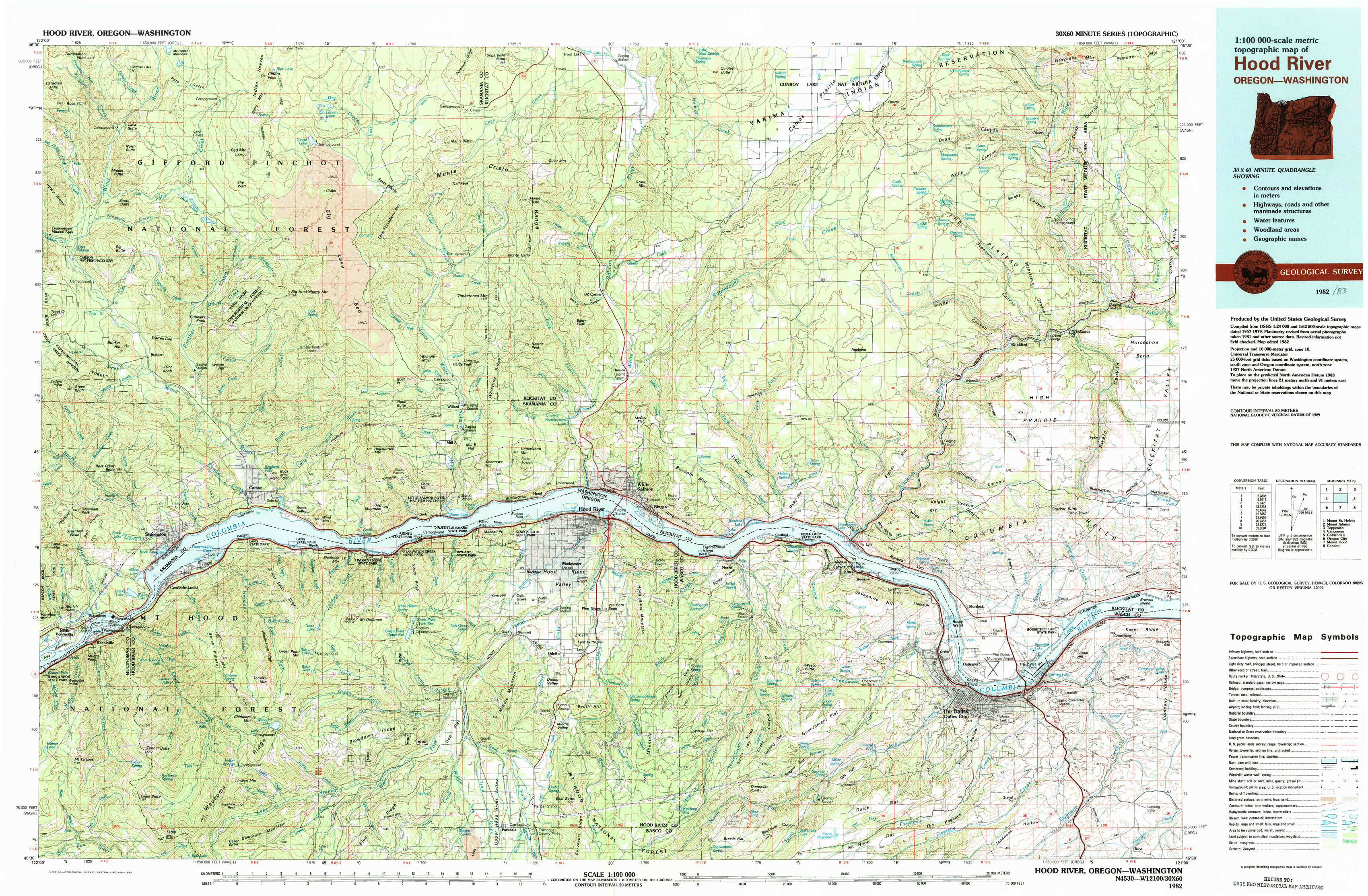
Hood River Topo Map Oregon
To zoom in, hover over the map of Hood River
USGS Topo Map 45121e1 - 1:100,000 scale
| Topo Map Name: | Hood River |
| USGS Topo Quad ID: | 45121e1 |
| Print Size: | ca. 39" wide x 24" high |
| Southeast Coordinates: | 45.5° N latitude / 121° W longitude |
| Map Center Coordinates: | 45.75° N latitude / 121.5° W longitude |
| U.S. States: | OR, WA |
| Filename: | 45121e1.jpg |
| Download Map JPG Image: | Hood River topo map 1:100,000 scale |
| Map Type: | Topographic |
| Topo Series: | 30´x60´ |
| Map Scale: | 1:100,000 |
| Source of Map Images: | United States Geological Survey (USGS) |
| Alternate Map Versions: |
Hood River OR 1982, updated 1983 Download PDF Buy paper map |
1:100,000 Topos surrounding Hood River
Mount Saint Helens |
Mount Adams |
Toppenish |
Vancouver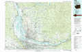 |
Hood River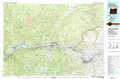 |
Goldendale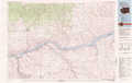 |
Oregon City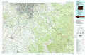 |
Mount Hood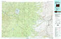 |
Condon |
> Back to 45120a1 at 1:250,000 scale
> Back to U.S. Topo Maps home
1:24,000 Topo Quads covered by the spatial extent of this 100k map (Hood River)
|
Termination Point 
|
Gifford Peak 
|
Little Huckleberry Mountain 
|
Guler Mountain 
|
Quigley Butte 
|
Camas Prairie 
|
Dead Canyon 
|
Grayback Mountain 
|
|
Stabler 
|
Big Huckleberry Mountain 
|
Willard 
|
Northwestern Lake 
|
Husum 
|
Appleton 
|
Klickitat 
|
Wahkiacus 
|
|
Bonneville Dam 
|
Carson 
|
Mount Defiance 
|
Hood River 
|
White Salmon 
|
Lyle 
|
The Dalles North 
|
Stacker Butte 
|
|
Tanner Butte 
|
Wahtum Lake 
|
Dee 
|
Parkdale 
|
Ketchum Reservoir 
|
Brown Creek 
|
The Dalles South 
|
Petersburg 
|