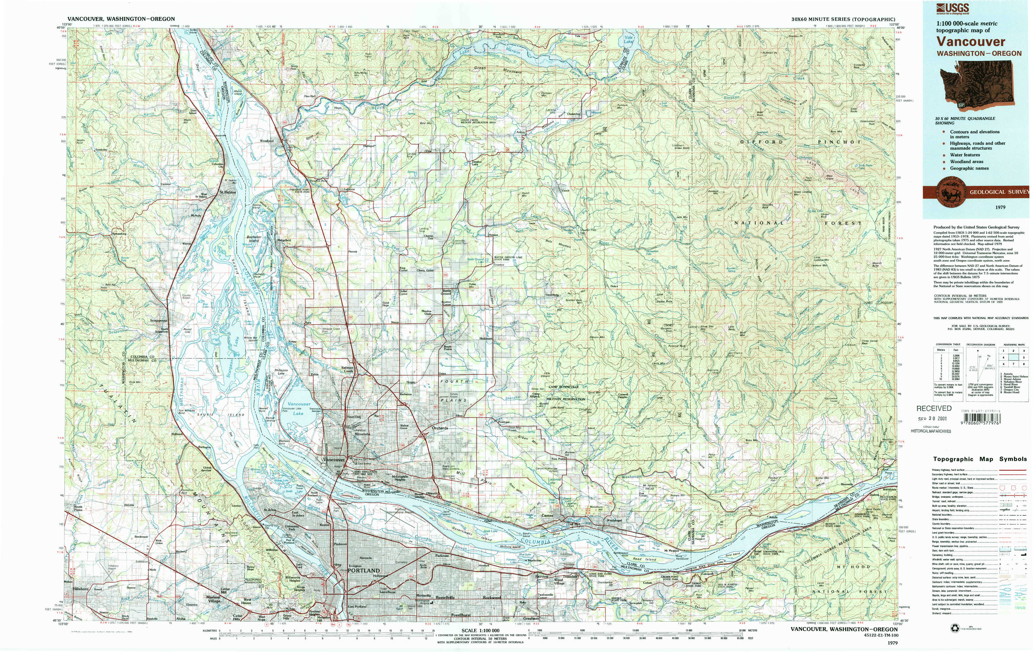
Vancouver Topo Map Washington
To zoom in, hover over the map of Vancouver
USGS Topo Map 45122e1 - 1:100,000 scale
| Topo Map Name: | Vancouver |
| USGS Topo Quad ID: | 45122e1 |
| Print Size: | ca. 39" wide x 24" high |
| Southeast Coordinates: | 45.5° N latitude / 122° W longitude |
| Map Center Coordinates: | 45.75° N latitude / 122.5° W longitude |
| U.S. States: | WA, OR |
| Filename: | 45122e1.jpg |
| Download Map JPG Image: | Vancouver topo map 1:100,000 scale |
| Map Type: | Topographic |
| Topo Series: | 30´x60´ |
| Map Scale: | 1:100,000 |
| Source of Map Images: | United States Geological Survey (USGS) |
| Alternate Map Versions: |
Vancouver WA 1979, updated 1980 Download PDF Buy paper map Vancouver WA 1979, updated 1993 Download PDF Buy paper map |
1:100,000 Topos surrounding Vancouver
Astoria |
Mount Saint Helens |
Mount Adams |
Nehalem River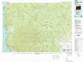 |
Vancouver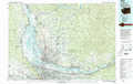 |
Hood River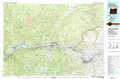 |
Yamhill River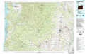 |
Oregon City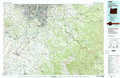 |
Mount Hood |
> Back to 45122a1 at 1:250,000 scale
> Back to U.S. Topo Maps home
1:24,000 Topo Quads covered by the spatial extent of this 100k map (Vancouver)
|
Trenholm 
|
Deer Island 
|
Woodland 
|
Ariel 
|
Amboy 
|
Yale Dam 
|
Siouxon Peak 
|
Bare Mountain 
|
|
Chapman 
|
Saint Helens 
|
Ridgefield 
|
Battle Ground 
|
Yacolt 
|
Dole 
|
Gumboot Mountain 
|
Lookout Mountain 
|
|
Dixie Mountain 
|
Sauvie Island 
|
Vancouver 
|
Orchards 
|
Lacamas Creek 
|
Larch Mountain 
|
Bobs Mountain 
|
Beacon Rock 
|
|
Hillsboro 
|
Linnton 
|
Portland 
|
Mount Tabor 
|
Camas 
|
Washougal 
|
Bridal Veil 
|
Multnomah Falls 
|