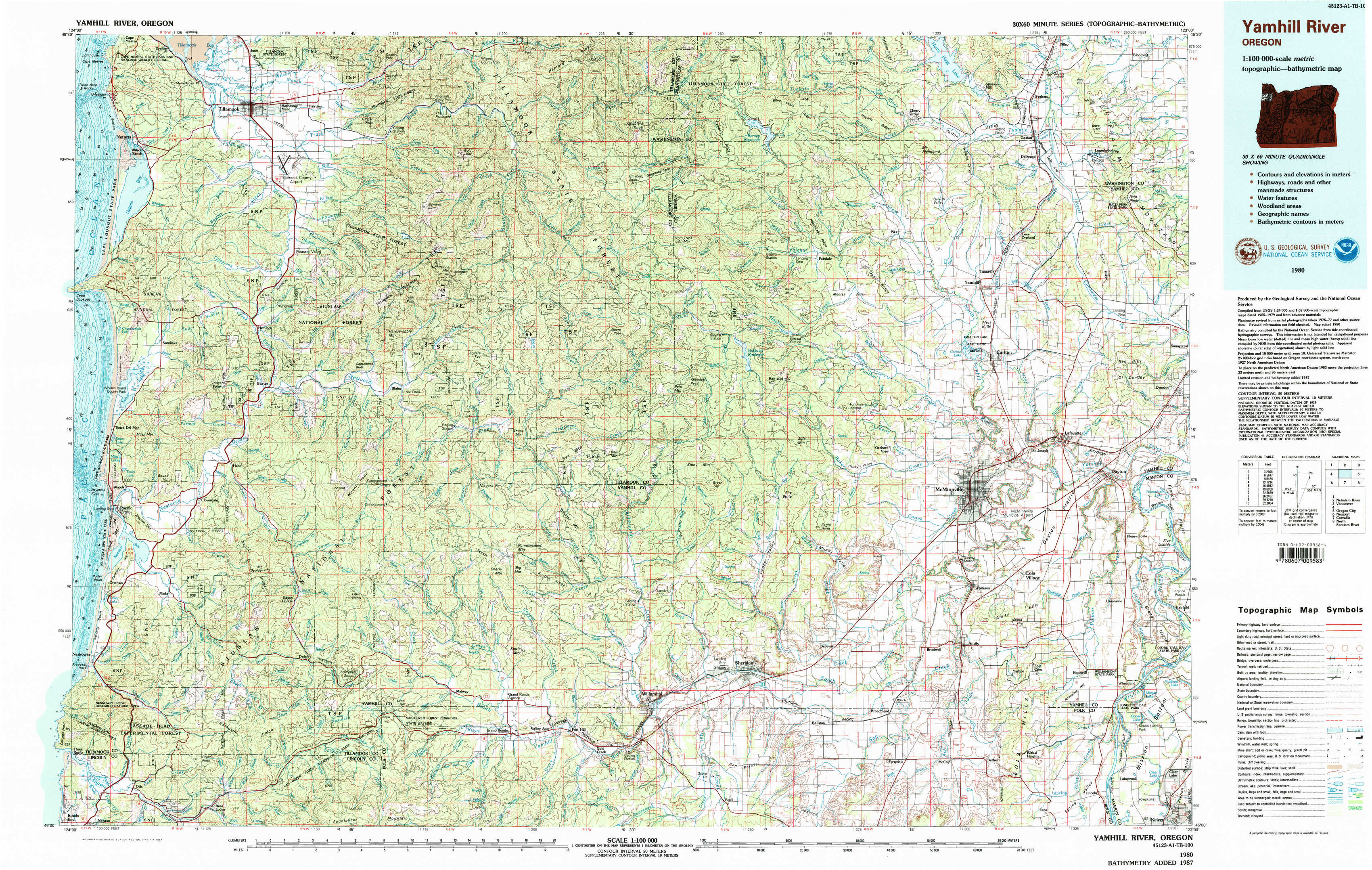
Yamhill River Topo Map Oregon
To zoom in, hover over the map of Yamhill River
USGS Topo Map 45123a1 - 1:100,000 scale
| Topo Map Name: | Yamhill River |
| USGS Topo Quad ID: | 45123a1 |
| Print Size: | ca. 39" wide x 24" high |
| Southeast Coordinates: | 45° N latitude / 123° W longitude |
| Map Center Coordinates: | 45.25° N latitude / 123.5° W longitude |
| U.S. State: | OR |
| Filename: | 45123a1.jpg |
| Download Map JPG Image: | Yamhill River topo map 1:100,000 scale |
| Map Type: | Topographic |
| Topo Series: | 30´x60´ |
| Map Scale: | 1:100,000 |
| Source of Map Images: | United States Geological Survey (USGS) |
| Alternate Map Versions: |
Yamhill River OR 1980, updated 1980 Download PDF Buy paper map Yamhill River OR 1980, updated 1987 Download PDF Buy paper map Yamhill River OR 1980, updated 1987 Download PDF Buy paper map |
1:100,000 Topos surrounding Yamhill River
Nehalem River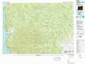 |
Vancouver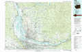 |
|
West Of Yamhill River |
Yamhill River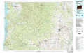 |
Oregon City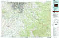 |
Newport |
Corvallis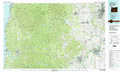 |
North Santiam River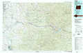 |
> Back to 45122a1 at 1:250,000 scale
> Back to U.S. Topo Maps home
1:24,000 Topo Quads covered by the spatial extent of this 100k map (Yamhill River)
|
Netarts 
|
Tillamook 
|
The Peninsula 
|
Trask 
|
Gobblers Knob 
|
Turner Creek 
|
Gaston 
|
Laurelwood 
|
|
Sand Lake 
|
Beaver 
|
Blaine 
|
Dovre Peak 
|
Trask Mountain 
|
Fairdale 
|
Carlton 
|
Dundee 
|
|
Nestucca Bay 
|
Hebo 
|
Niagara Creek 
|
Springer Mountain 
|
Stony Mountain 
|
Muddy Valley 
|
Mcminnville 
|
Dayton 
|
|
Neskowin 
|
Dolph 
|
Midway 
|
Grand Ronde 
|
Sheridan 
|
Ballston 
|
Amity 
|
Mission Bottom 
|