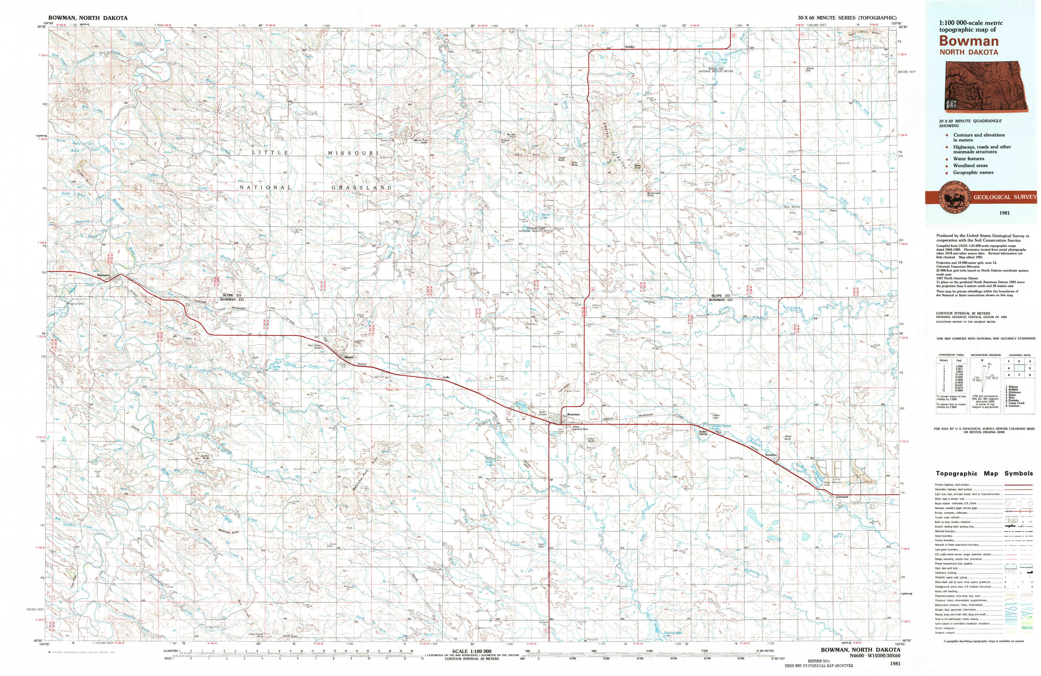
Bowman Topo Map North Dakota
To zoom in, hover over the map of Bowman
USGS Topo Map 46103a1 - 1:100,000 scale
| Topo Map Name: | Bowman |
| USGS Topo Quad ID: | 46103a1 |
| Print Size: | ca. 39" wide x 24" high |
| Southeast Coordinates: | 46° N latitude / 103° W longitude |
| Map Center Coordinates: | 46.25° N latitude / 103.5° W longitude |
| U.S. State: | ND |
| Filename: | 46103a1.jpg |
| Download Map JPG Image: | Bowman topo map 1:100,000 scale |
| Map Type: | Topographic |
| Topo Series: | 30´x60´ |
| Map Scale: | 1:100,000 |
| Source of Map Images: | United States Geological Survey (USGS) |
| Alternate Map Versions: |
Bowman ND 1981, updated 1981 Download PDF Buy paper map |
1:100,000 Topos surrounding Bowman
Wibaux |
Belfield |
Dickinson |
Baker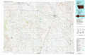 |
Bowman |
Mott |
Ekalaka |
Camp Crook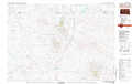 |
Lemmon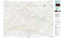 |
> Back to 46102a1 at 1:250,000 scale
> Back to U.S. Topo Maps home
1:24,000 Topo Quads covered by the spatial extent of this 100k map (Bowman)
|
Pretty Butte 
|
Boyce Creek West 
|
Boyce Creek East 
|
Deep Creek South 
|
Black Butte 
|
Amidon 
|
White Lake 
|
West Rainy Butte 
|
|
Marmarth 
|
Marmarth Se 
|
Ives 
|
West Fork Deep Creek 
|
Stewart Lake 
|
Amidon Se 
|
Mineral Springs 
|
Warnke Hill 
|
|
Kid Creek 
|
Cedar Hills 
|
Rhame 
|
Griffin 
|
Bowman 
|
Talbot Butte 
|
Scranton 
|
Scranton Ne 
|
|
Cedar Ridge 
|
Mud Buttes 
|
Camel Butte 
|
Rhame Se 
|
Bowman Sw 
|
Bowman Se 
|
Scranton Sw 
|
Gascoyne 
|