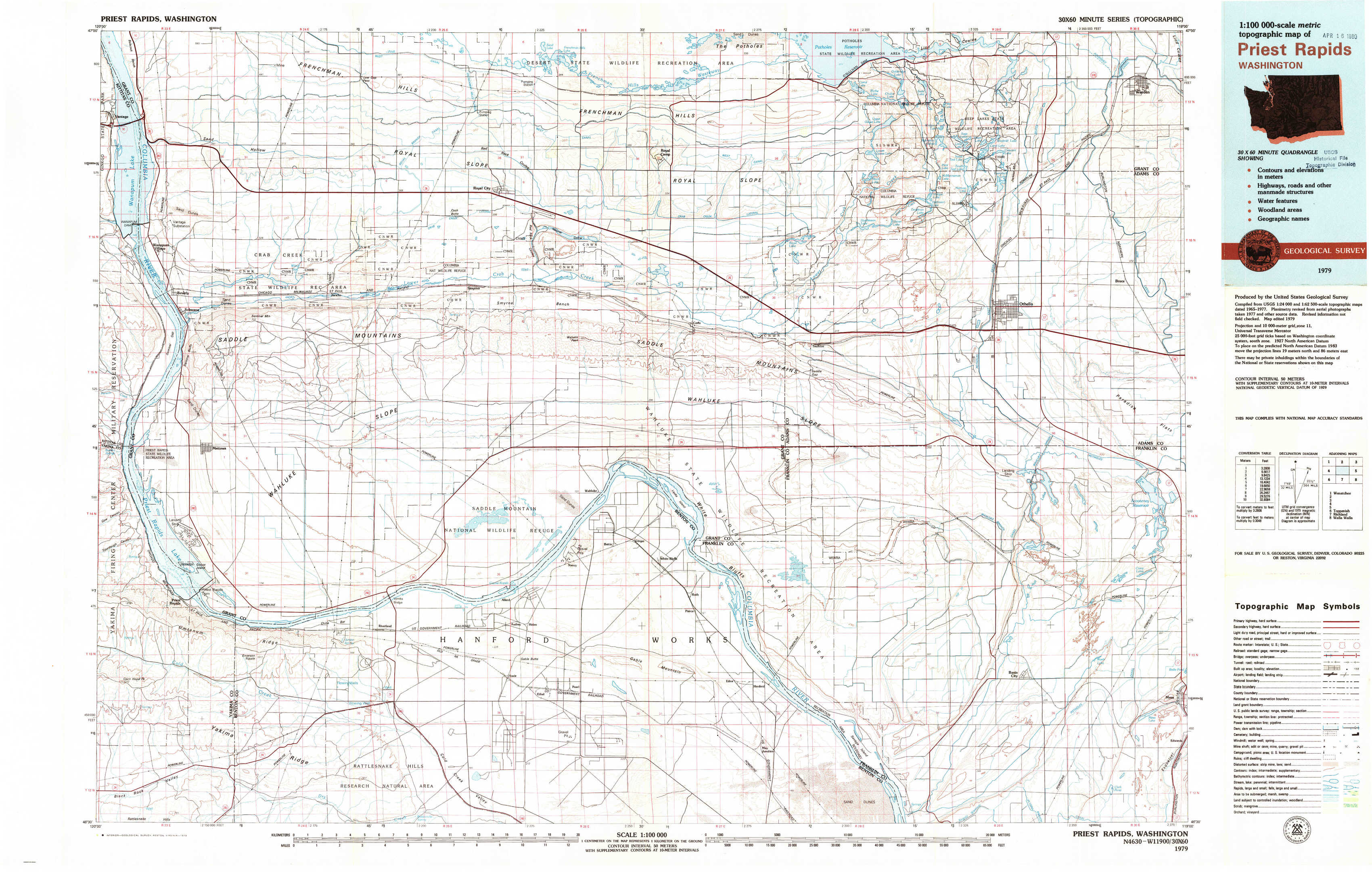
Priest Rapids Topo Map Washington
To zoom in, hover over the map of Priest Rapids
USGS Topo Map 46119e1 - 1:100,000 scale
| Topo Map Name: | Priest Rapids |
| USGS Topo Quad ID: | 46119e1 |
| Print Size: | ca. 39" wide x 24" high |
| Southeast Coordinates: | 46.5° N latitude / 119° W longitude |
| Map Center Coordinates: | 46.75° N latitude / 119.5° W longitude |
| U.S. State: | WA |
| Filename: | 46119e1.jpg |
| Download Map JPG Image: | Priest Rapids topo map 1:100,000 scale |
| Map Type: | Topographic |
| Topo Series: | 30´x60´ |
| Map Scale: | 1:100,000 |
| Source of Map Images: | United States Geological Survey (USGS) |
| Alternate Map Versions: |
Priest Rapids WA 1979, updated 1979 Download PDF Buy paper map Priest Rapids WA 1979, updated 1979 Download PDF Buy paper map |
1:100,000 Topos surrounding Priest Rapids
Wenatchee |
Moses Lake |
Ritzville |
Yakima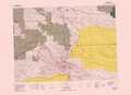 |
Priest Rapids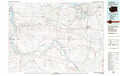 |
Connell |
Toppenish |
Richland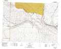 |
Walla Walla |
> Back to 46118a1 at 1:250,000 scale
> Back to U.S. Topo Maps home
1:24,000 Topo Quads covered by the spatial extent of this 100k map (Priest Rapids)
|
Vantage 
|
Beverly Ne 
|
Royal City 
|
Frenchman Hills Lake 
|
Royal Camp 
|
O'Sullivan Dam 
|
Soda Lake 
|
Warden 
|
|
Beverly 
|
Beverly Se 
|
Smyrna 
|
Wahatis Peak 
|
Corfu 
|
Taunton 
|
Othello 
|
Bruce 
|
|
Priest Rapids 
|
Priest Rapids Ne 
|
Vernita Bridge 
|
Coyote Rapids 
|
Locke Island 
|
Hanford Ne 
|
Eagle Lakes 
|
Scooteney Reservoir 
|
|
Cairn Hope Peak 
|
Emerson Nipple 
|
Riverland 
|
Gable Butte 
|
Hanford 
|
Savage Island 
|
Basin City 
|
Mesa West 
|