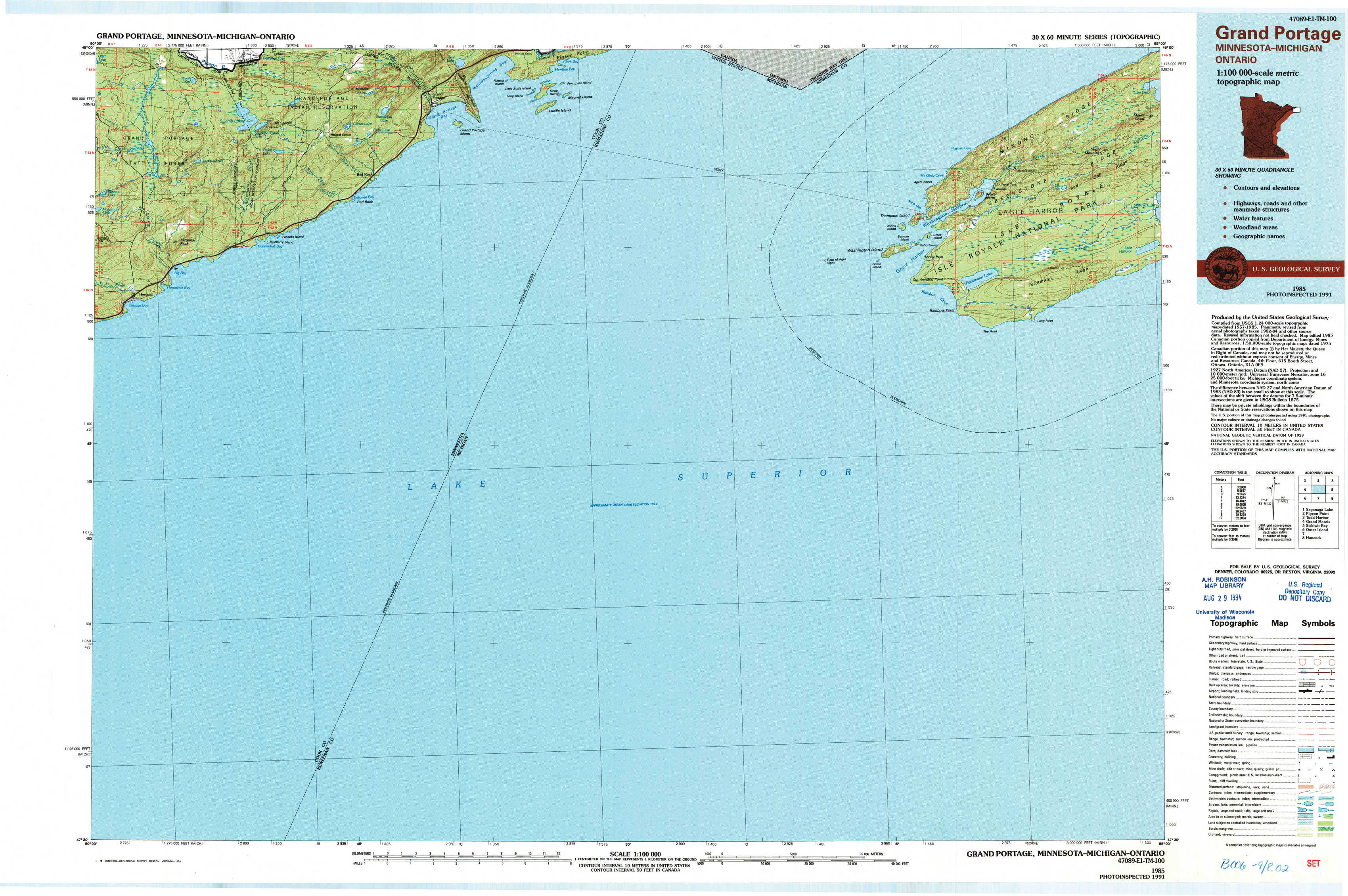
Grand Portage Topo Map Minnesota
To zoom in, hover over the map of Grand Portage
USGS Topo Map 47089e1 - 1:100,000 scale
| Topo Map Name: | Grand Portage |
| USGS Topo Quad ID: | 47089e1 |
| Print Size: | ca. 39" wide x 24" high |
| Southeast Coordinates: | 47.5° N latitude / 89° W longitude |
| Map Center Coordinates: | 47.75° N latitude / 89.5° W longitude |
| U.S. States: | MN, MI |
| Filename: | 47089e1.jpg |
| Download Map JPG Image: | Grand Portage topo map 1:100,000 scale |
| Map Type: | Topographic |
| Topo Series: | 30´x60´ |
| Map Scale: | 1:100,000 |
| Source of Map Images: | United States Geological Survey (USGS) |
| Alternate Map Versions: |
Grand Portage MN 1985, updated 1985 Download PDF Buy paper map Grand Portage MN 1985, updated 1993 Download PDF Buy paper map |
1:100,000 Topos surrounding Grand Portage
Saganaga Lake |
Pigeon Point |
Todd Harbor |
Grand Marais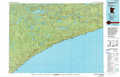 |
Grand Portage |
Siskiwit Bay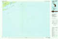 |
Outer Island |
North Of Ontonagon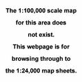 |
Hancock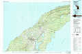 |
> Back to 47088a1 at 1:250,000 scale
> Back to U.S. Topo Maps home
1:24,000 Topo Quads covered by the spatial extent of this 100k map (Grand Portage)
|
Farquhar Peak 
|
Mineral Center 
|
Mineral Center East 
|
Mineral Center East ??? 
|
Windigo 
|
Sugar Mountain 
|
||
|
Hovland 
|
Feldtmann Lake 
|
Feldtmann Ridge 
|
|||||