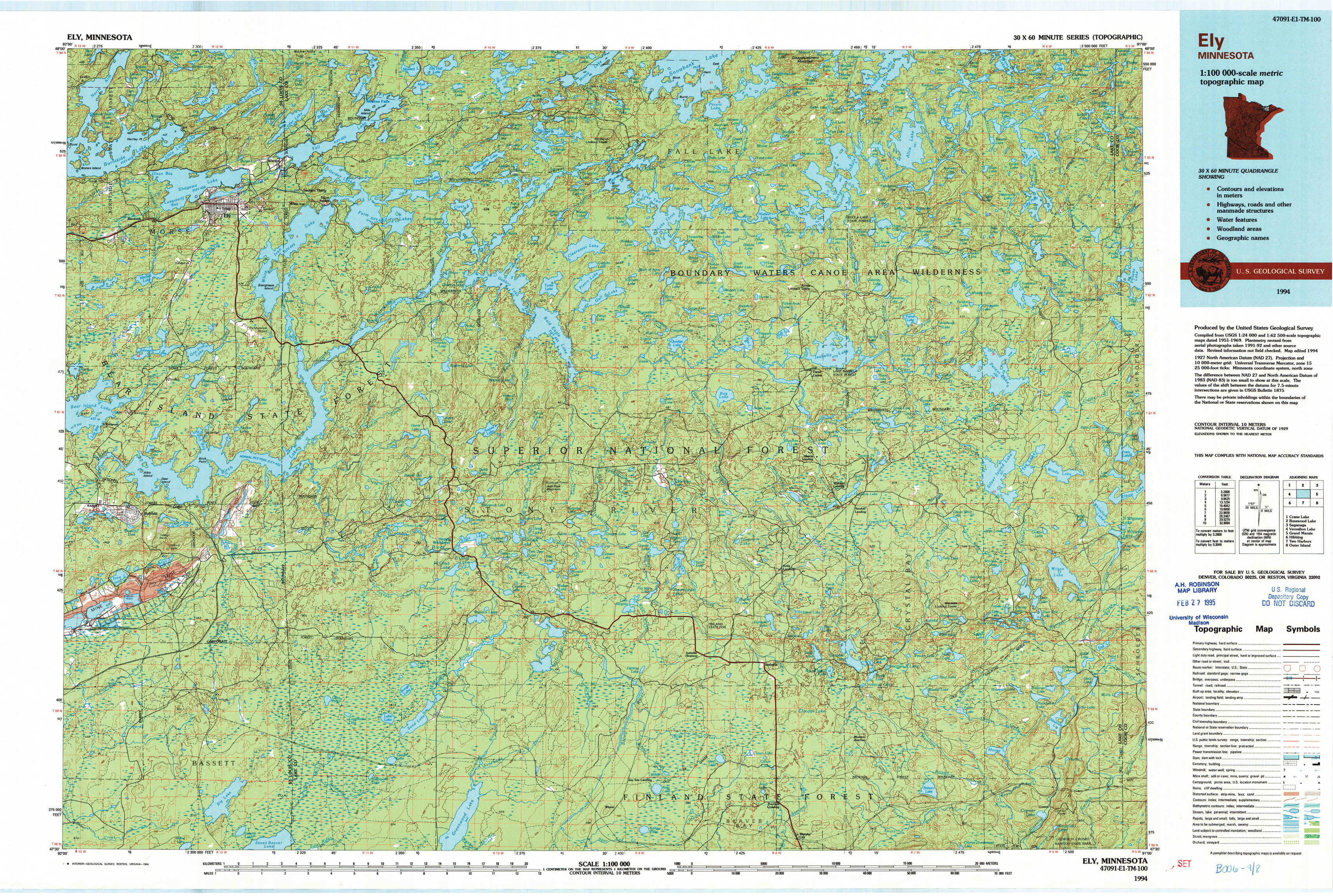
Ely Topo Map Minnesota
To zoom in, hover over the map of Ely
USGS Topo Map 47091e1 - 1:100,000 scale
| Topo Map Name: | Ely |
| USGS Topo Quad ID: | 47091e1 |
| Print Size: | ca. 39" wide x 24" high |
| Southeast Coordinates: | 47.5° N latitude / 91° W longitude |
| Map Center Coordinates: | 47.75° N latitude / 91.5° W longitude |
| U.S. State: | MN |
| Filename: | 47091e1.jpg |
| Download Map JPG Image: | Ely topo map 1:100,000 scale |
| Map Type: | Topographic |
| Topo Series: | 30´x60´ |
| Map Scale: | 1:100,000 |
| Source of Map Images: | United States Geological Survey (USGS) |
| Alternate Map Versions: |
Ely MN 1994, updated 1994 Download PDF Buy paper map |
1:100,000 Topos surrounding Ely
Crane Lake |
Basswood Lake |
Saganaga Lake |
Vermilion Lake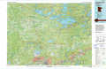 |
Ely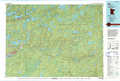 |
Grand Marais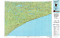 |
Hibbing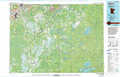 |
Two Harbors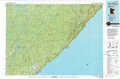 |
Outer Island |
> Back to 47090a1 at 1:250,000 scale
> Back to U.S. Topo Maps home
1:24,000 Topo Quads covered by the spatial extent of this 100k map (Ely)
|
Shagawa Lake 
|
Ely 
|
Farm Lake 
|
Ojibway Lake 
|
Snowbank Lake 
|
Lake Insula 
|
Alice Lake 
|
Lake Polly 
|
|
Bear Island 
|
Kangas Bay 
|
Bogberry Lake 
|
Gabbro Lake 
|
Quadga Lake 
|
Isabella Lake 
|
Perent Lake 
|
Kawishiwi Lake 
|
|
Babbitt 
|
Babbitt Ne 
|
Slate Lake West 
|
Slate Lake East 
|
Mitawan Lake 
|
Sawbill Landing 
|
Silver Island Lake 
|
Wilson Lake 
|
|
Babbitt Sw 
|
Babbitt Se 
|
Greenwood Lake West 
|
Greenwood Lake East 
|
Isabella Station 
|
Isabella 
|
Cabin Lake 
|
Cramer 
|