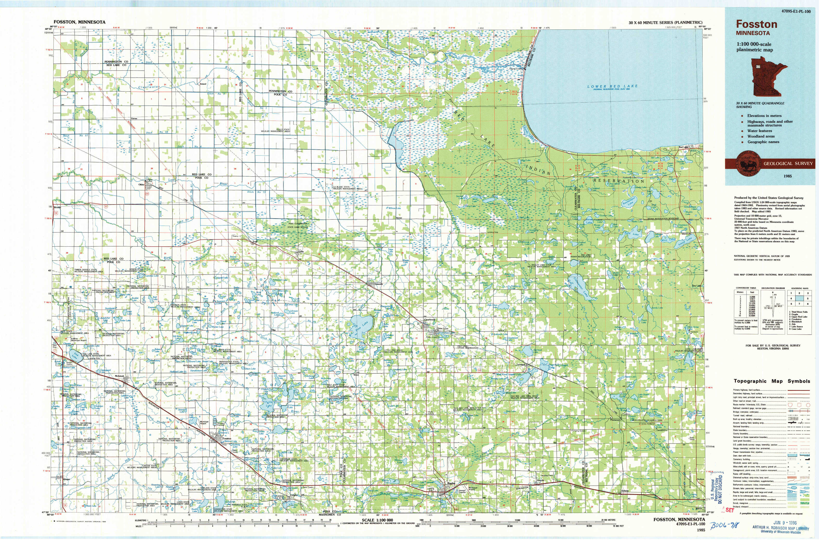
Fosston Topo Map Minnesota
To zoom in, hover over the map of Fosston
USGS Topo Map 47095e1 - 1:100,000 scale
| Topo Map Name: | Fosston |
| USGS Topo Quad ID: | 47095e1 |
| Print Size: | ca. 39" wide x 24" high |
| Southeast Coordinates: | 47.5° N latitude / 95° W longitude |
| Map Center Coordinates: | 47.75° N latitude / 95.5° W longitude |
| U.S. State: | MN |
| Filename: | 47095e1.jpg |
| Download Map JPG Image: | Fosston topo map 1:100,000 scale |
| Map Type: | Topographic |
| Topo Series: | 30´x60´ |
| Map Scale: | 1:100,000 |
| Source of Map Images: | United States Geological Survey (USGS) |
| Alternate Map Versions: |
Fosston MN 1985, updated 1985 Download PDF Buy paper map Fosston MN 1985, updated 1991 Download PDF Buy paper map |
1:100,000 Topos surrounding Fosston
Thief River Falls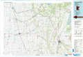 |
Grygla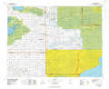 |
Upper Red Lake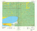 |
Crookston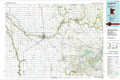 |
Fosston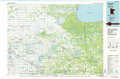 |
Blackduck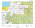 |
Ada |
Lake Itasca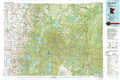 |
Cass Lake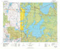 |
> Back to 47094a1 at 1:250,000 scale
> Back to U.S. Topo Maps home
1:24,000 Topo Quads covered by the spatial extent of this 100k map (Fosston)
|
Oklee Nw 
|
Roland 
|
Gully Nw 
|
Gully Ne 
|
Bailey Lake 
|
Berner Ne 
|
||
|
Oklee Sw 
|
Oklee 
|
Trail 
|
Gully 
|
Berner 
|
Gurneau Lake 
|
Bagley Lake 
|
Red Lake 
|
|
Mcintosh 
|
Mcintosh Ne 
|
Olga 
|
Gonvick 
|
Clearbrook 
|
Leonard 
|
Debs 
|
Aure 
|
|
Winger 
|
Fosston West 
|
Fosston East 
|
Fosston Se 
|
Bagley 
|
Shevlin 
|
Solway 
|
Wilton 
|