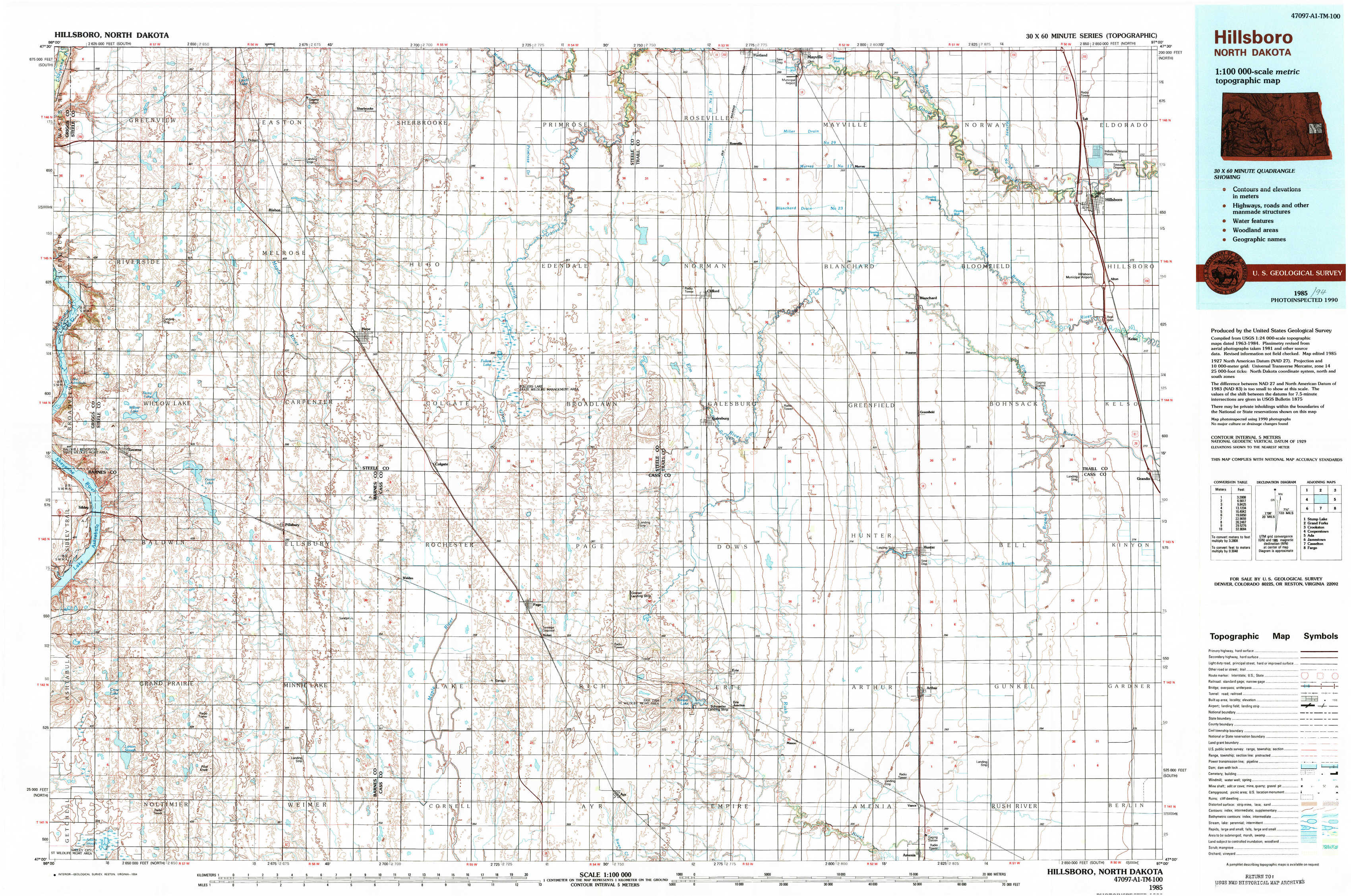
Hillsboro Topo Map North Dakota
To zoom in, hover over the map of Hillsboro
USGS Topo Map 47097a1 - 1:100,000 scale
| Topo Map Name: | Hillsboro |
| USGS Topo Quad ID: | 47097a1 |
| Print Size: | ca. 39" wide x 24" high |
| Southeast Coordinates: | 47° N latitude / 97° W longitude |
| Map Center Coordinates: | 47.25° N latitude / 97.5° W longitude |
| U.S. State: | ND |
| Filename: | 47097a1.jpg |
| Download Map JPG Image: | Hillsboro topo map 1:100,000 scale |
| Map Type: | Topographic |
| Topo Series: | 30´x60´ |
| Map Scale: | 1:100,000 |
| Source of Map Images: | United States Geological Survey (USGS) |
| Alternate Map Versions: |
Hillsboro ND 1985, updated 1985 Download PDF Buy paper map Hillsboro ND 1985, updated 1994 Download PDF Buy paper map |
1:100,000 Topos surrounding Hillsboro
Stump Lake |
Grand Forks |
Crookston |
Cooperstown |
Hillsboro |
Ada |
Jamestown |
Casselton |
Fargo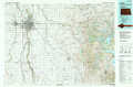 |
> Back to 47096a1 at 1:250,000 scale
> Back to U.S. Topo Maps home
1:24,000 Topo Quads covered by the spatial extent of this 100k map (Hillsboro)
|
Luverne Nw 
|
Blabon 
|
Sherbrooke 
|
Hope Ne 
|
Galesburg Nw 
|
Mayville South 
|
Hillsboro Nw 
|
Hillsboro 
|
|
Luverne 
|
Luverne Se 
|
Hope 
|
Hope Se 
|
Galesburg 
|
Galesburg Se 
|
Blanchard 
|
Kelso 
|
|
Sibley 
|
Pillsbury 
|
Colgate 
|
Page 
|
Ayr Nw 
|
Ayr Ne 
|
Hunter 
|
Grandin 
|
|
Pillsbury Sw 
|
Pillsbury Se 
|
Page Sw 
|
Page Se 
|
Ayr 
|
Ayr Se 
|
Arthur 
|
Arthur Se 
|