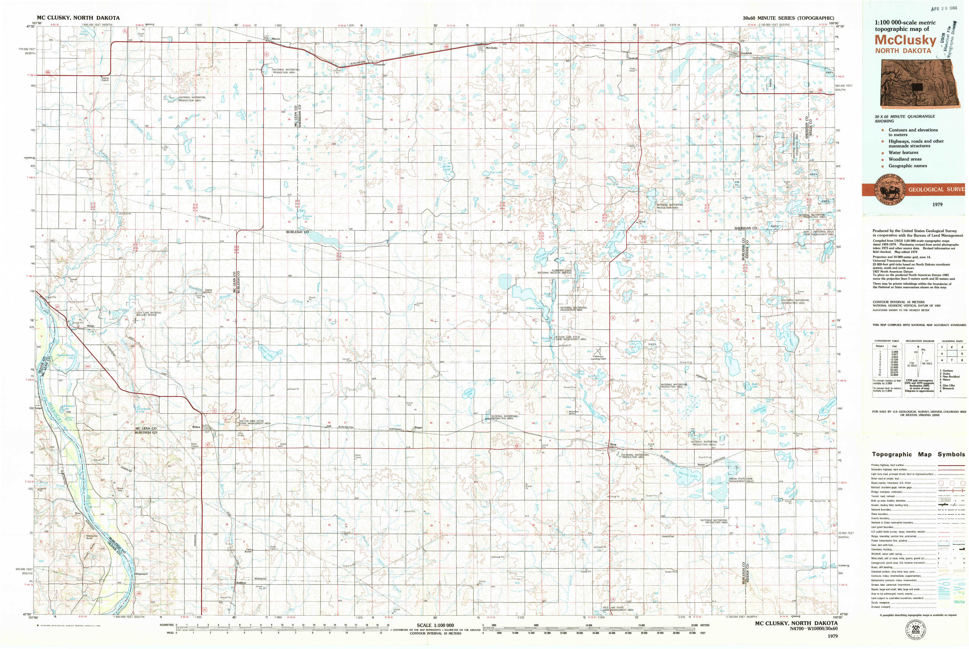
Mc Clusky Topo Map North Dakota
To zoom in, hover over the map of Mc Clusky
USGS Topo Map 47100a1 - 1:100,000 scale
| Topo Map Name: | Mc Clusky |
| USGS Topo Quad ID: | 47100a1 |
| Print Size: | ca. 39" wide x 24" high |
| Southeast Coordinates: | 47° N latitude / 100° W longitude |
| Map Center Coordinates: | 47.25° N latitude / 100.5° W longitude |
| U.S. State: | ND |
| Filename: | 47100a1.jpg |
| Download Map JPG Image: | Mc Clusky topo map 1:100,000 scale |
| Map Type: | Topographic |
| Topo Series: | 30´x60´ |
| Map Scale: | 1:100,000 |
| Source of Map Images: | United States Geological Survey (USGS) |
| Alternate Map Versions: |
McClusky ND 1979, updated 1980 Download PDF Buy paper map |
1:100,000 Topos surrounding Mc Clusky
Garrison |
Drake |
New Rockford |
Hazen |
Mc Clusky |
Carrington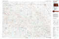 |
Glen Ullin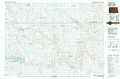 |
Bismarck |
Steele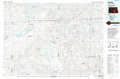 |
> Back to 47100a1 at 1:250,000 scale
> Back to U.S. Topo Maps home
1:24,000 Topo Quads covered by the spatial extent of this 100k map (Mc Clusky)
|
Turtle Creek Nw 
|
Turtle Creek Ne 
|
Mercer 
|
Pickardville 
|
Mcclusky 
|
Denhoff 
|
Goodrich West 
|
Goodrich East 
|
|
Turtle Creek Sw 
|
Turtle Creek Se 
|
Mercer Sw 
|
Mercer Se 
|
Horse Lake 
|
Florence Lake 
|
Goodrich Sw 
|
Woodhouse Lake 
|
|
Sanger 
|
Wilton 
|
Grass Lake 
|
Regan 
|
Canfield Lake 
|
Wing 
|
Arena 
|
Lake Helen 
|
|
Price 
|
Wilton Se 
|
Baldwin 
|
Regan Se 
|
Wing Sw 
|
Wing Se 
|
Harriet Lake 
|
Harriet Lake Se 
|