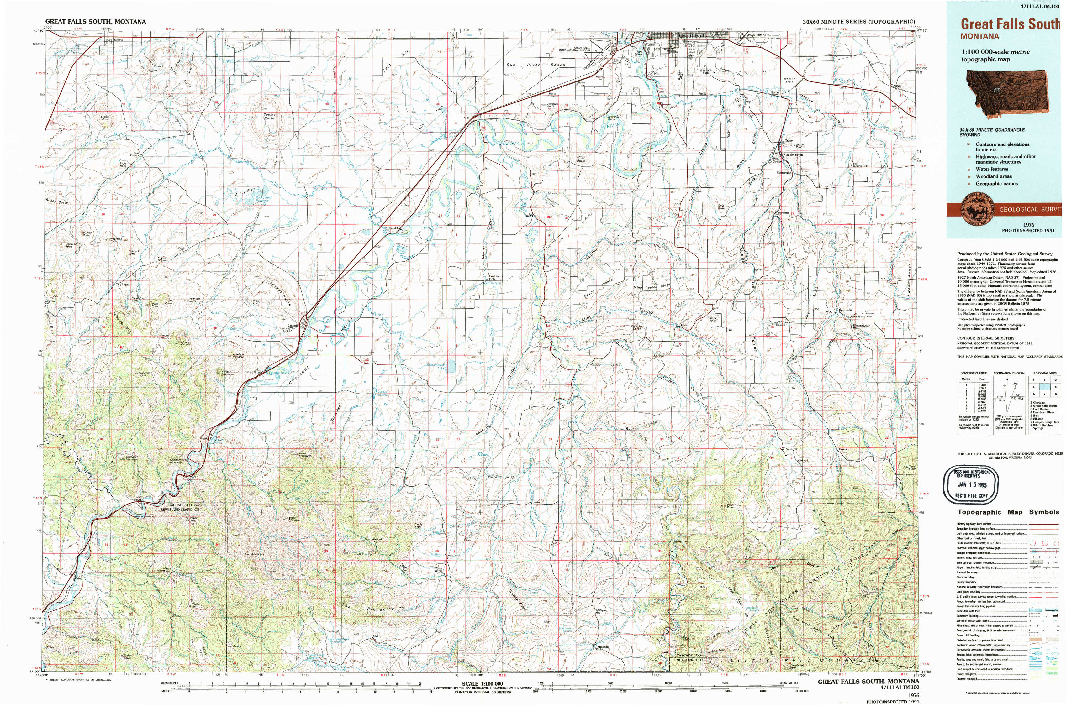
Great Falls South Topo Map Montana
To zoom in, hover over the map of Great Falls South
USGS Topo Map 47111a1 - 1:100,000 scale
| Topo Map Name: | Great Falls South |
| USGS Topo Quad ID: | 47111a1 |
| Print Size: | ca. 39" wide x 24" high |
| Southeast Coordinates: | 47° N latitude / 111° W longitude |
| Map Center Coordinates: | 47.25° N latitude / 111.5° W longitude |
| U.S. State: | MT |
| Filename: | 47111a1.jpg |
| Download Map JPG Image: | Great Falls South topo map 1:100,000 scale |
| Map Type: | Topographic |
| Topo Series: | 30´x60´ |
| Map Scale: | 1:100,000 |
| Source of Map Images: | United States Geological Survey (USGS) |
| Alternate Map Versions: |
Great Falls South MT 1976, updated 1994 Download PDF Buy paper map |
1:100,000 Topos surrounding Great Falls South
Choteau |
Great Falls North |
Fort Benton |
Dearborn River |
Great Falls South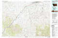 |
Belt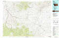 |
Elliston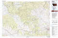 |
Canyon Ferry Dam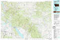 |
White Sulphur Springs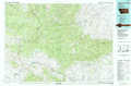 |
> Back to 47110a1 at 1:250,000 scale
> Back to U.S. Topo Maps home
1:24,000 Topo Quads covered by the spatial extent of this 100k map (Great Falls South)
|
Simms 
|
Cascade Colony 
|
Fair Haven Colony 
|
Ulm 
|
Antelope Butte 
|
Southwest Great Falls 
|
Southeast Great Falls 
|
Fife 
|
|
Telegraph Mountain 
|
Mount Cecelia 
|
Cascade 
|
Nelson Island 
|
Truly 
|
Eden 
|
Stockett 
|
Mahoney Hill 
|
|
Mid Canon 
|
Hardy 
|
Rocky Reef 
|
Schrammeck Lake 
|
Spanish Coulee School 
|
Boston Coulee School 
|
Calvert 
|
Evans 
|
|
Craig 
|
The Sawteeth 
|
Hound Creek Reservoir 
|
Dana Ranch 
|
Conway Ridge 
|
Millegan 
|
Deep Creek Park 
|
Blankenbaker Flats 
|