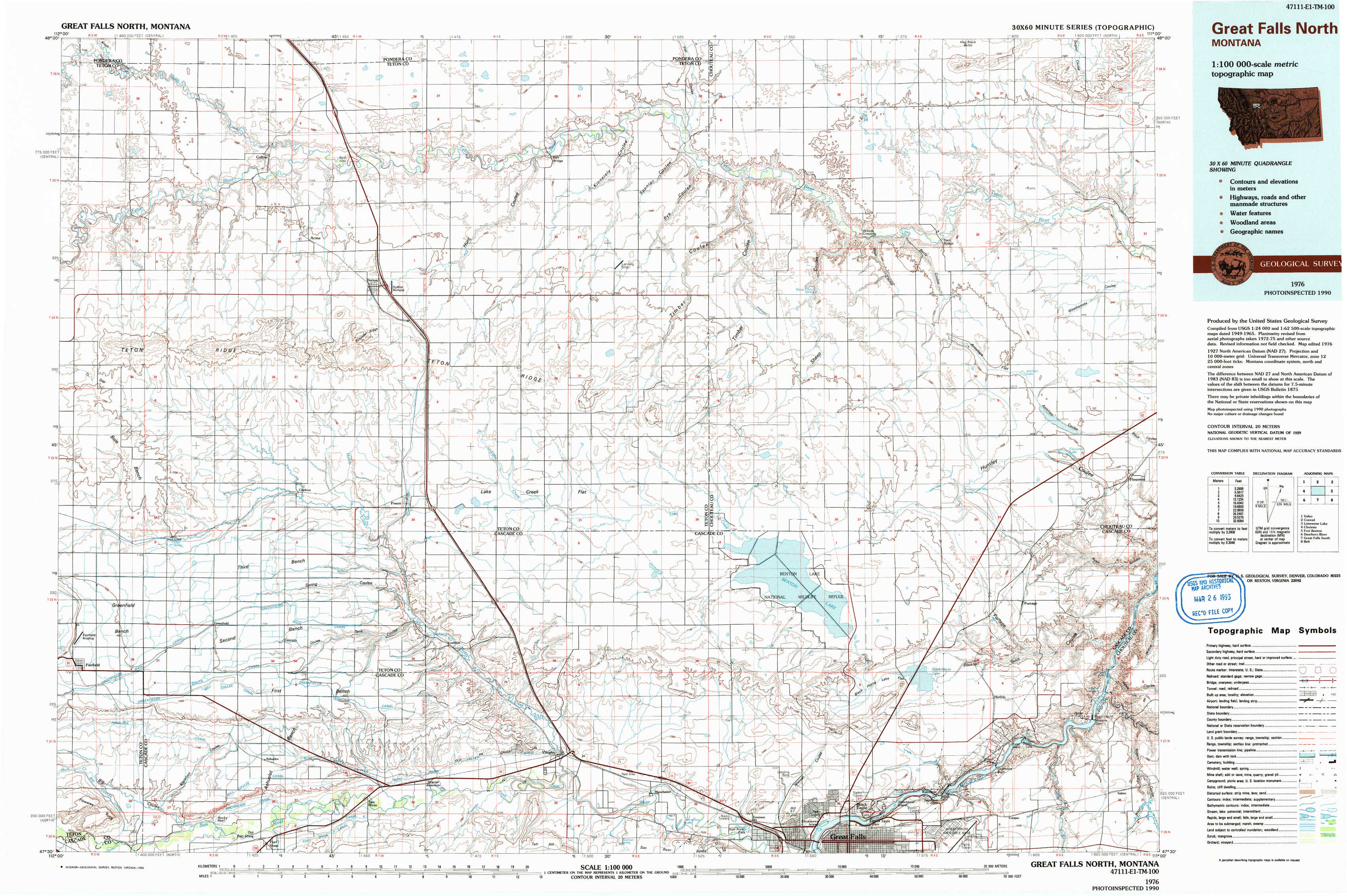
Great Falls North Topo Map Montana
To zoom in, hover over the map of Great Falls North
USGS Topo Map 47111e1 - 1:100,000 scale
| Topo Map Name: | Great Falls North |
| USGS Topo Quad ID: | 47111e1 |
| Print Size: | ca. 39" wide x 24" high |
| Southeast Coordinates: | 47.5° N latitude / 111° W longitude |
| Map Center Coordinates: | 47.75° N latitude / 111.5° W longitude |
| U.S. State: | MT |
| Filename: | 47111e1.jpg |
| Download Map JPG Image: | Great Falls North topo map 1:100,000 scale |
| Map Type: | Topographic |
| Topo Series: | 30´x60´ |
| Map Scale: | 1:100,000 |
| Source of Map Images: | United States Geological Survey (USGS) |
| Alternate Map Versions: |
Great Falls North MT 1976, updated 1990 Download PDF Buy paper map |
1:100,000 Topos surrounding Great Falls North
Valier |
Conrad |
Lonesome Lake |
Choteau |
Great Falls North |
Fort Benton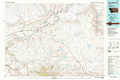 |
Dearborn River |
Great Falls South |
Belt |
> Back to 47110a1 at 1:250,000 scale
> Back to U.S. Topo Maps home
1:24,000 Topo Quads covered by the spatial extent of this 100k map (Great Falls North)
|
Collins Nw 
|
Collins 
|
Dutton Nw 
|
Dutton Ne 
|
Timber Coulee North 
|
Shannon Bridge 
|
Dent Bridge 
|
Dent Bridge Ne 
|
|
T L Gap 
|
Collins Se 
|
Dutton 
|
Dutton Se 
|
Timber Coulee South 
|
Sheep Coulee Springs 
|
Antelope Flat 
|
Antelope Lake 
|
|
Cleiv 
|
Greenfield 
|
Power 
|
Vaughn Ne 
|
Benton Lake West 
|
Benton Lake East 
|
Flick Lake 
|
Floweree 
|
|
Fairfield 
|
Fort Shaw 
|
Sun River 
|
Vaughn 
|
Manchester 
|
Northwest Great Falls 
|
Northeast Great Falls 
|
Morony Dam 
|