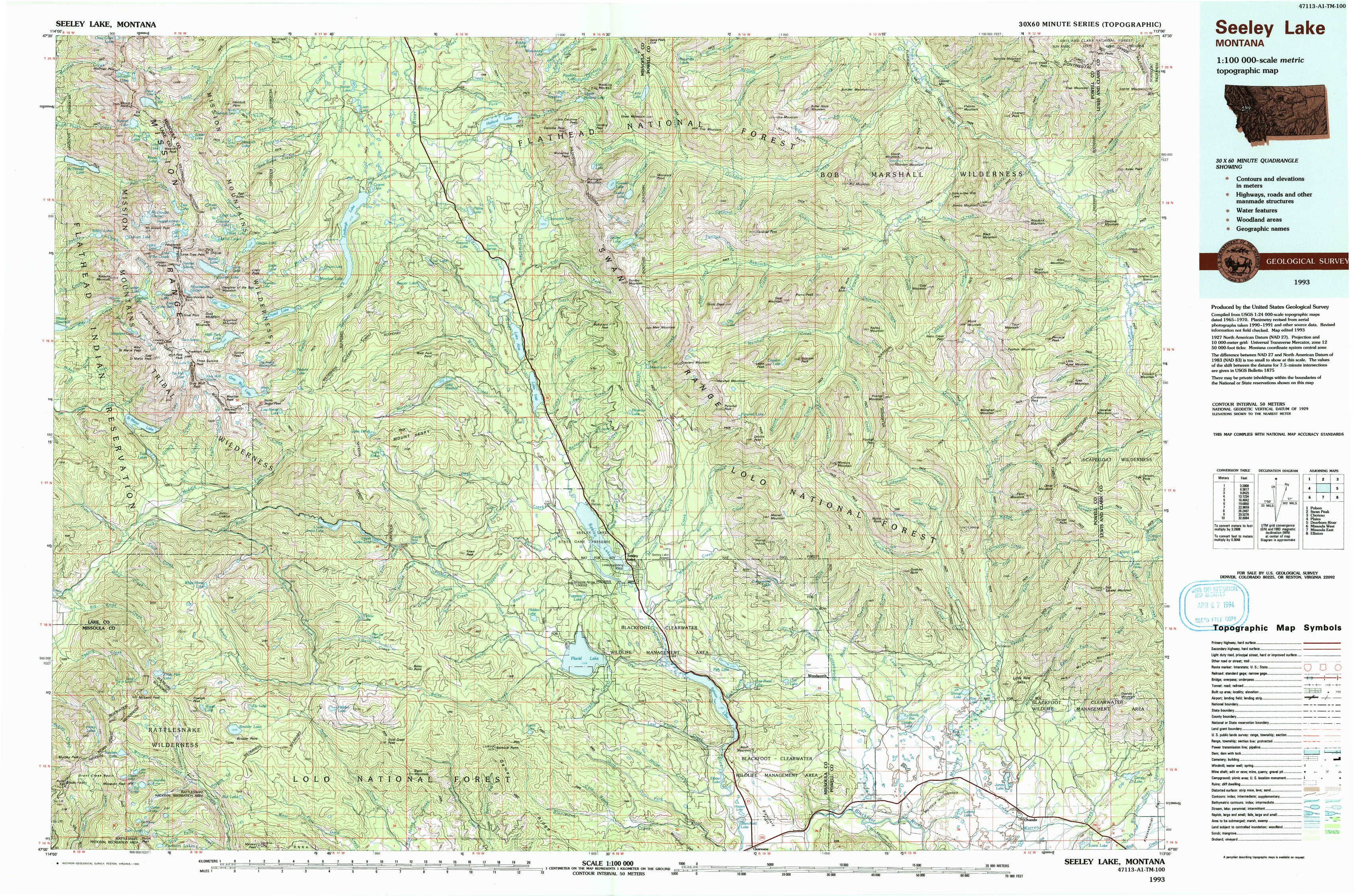
Seeley Lake Topo Map Montana
To zoom in, hover over the map of Seeley Lake
USGS Topo Map 47113a1 - 1:100,000 scale
| Topo Map Name: | Seeley Lake |
| USGS Topo Quad ID: | 47113a1 |
| Print Size: | ca. 39" wide x 24" high |
| Southeast Coordinates: | 47° N latitude / 113° W longitude |
| Map Center Coordinates: | 47.25° N latitude / 113.5° W longitude |
| U.S. State: | MT |
| Filename: | 47113a1.jpg |
| Download Map JPG Image: | Seeley Lake topo map 1:100,000 scale |
| Map Type: | Topographic |
| Topo Series: | 30´x60´ |
| Map Scale: | 1:100,000 |
| Source of Map Images: | United States Geological Survey (USGS) |
| Alternate Map Versions: |
Seeley Lake MT 1993, updated 1993 Download PDF Buy paper map |
1:100,000 Topos surrounding Seeley Lake
Polson |
Swan Peak |
Choteau |
Plains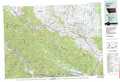 |
Seeley Lake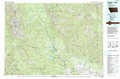 |
Dearborn River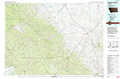 |
Missoula West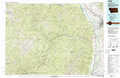 |
Missoula East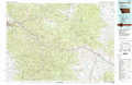 |
Elliston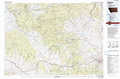 |
> Back to 47112a1 at 1:250,000 scale
> Back to U.S. Topo Maps home
1:24,000 Topo Quads covered by the spatial extent of this 100k map (Seeley Lake)
|
Mount Harding 
|
Hemlock Lake 
|
Cygnet Lake 
|
Holland Lake 
|
Shaw Creek 
|
Una Mountain 
|
Pilot Peak 
|
Trap Mountain 
|
|
Saint Marys Lake 
|
Gray Wolf Lake 
|
Lake Marshall 
|
Lake Inez 
|
Morrell Lake 
|
Crimson Peak 
|
Hahn Creek Pass 
|
Danaher Mountain 
|
|
Gold Creek 
|
Belmore Sloughs 
|
Upper Jocko Lake 
|
Seeley Lake West 
|
Seeley Lake East 
|
Morrell Mountain 
|
Dunham Point 
|
Spread Mountain 
|
|
Stuart Peak 
|
Wapiti Lake 
|
Gold Creek Peak 
|
Belmont Point 
|
Salmon Lake 
|
Woodworth 
|
Ovando 
|
Ovando Mountain 
|