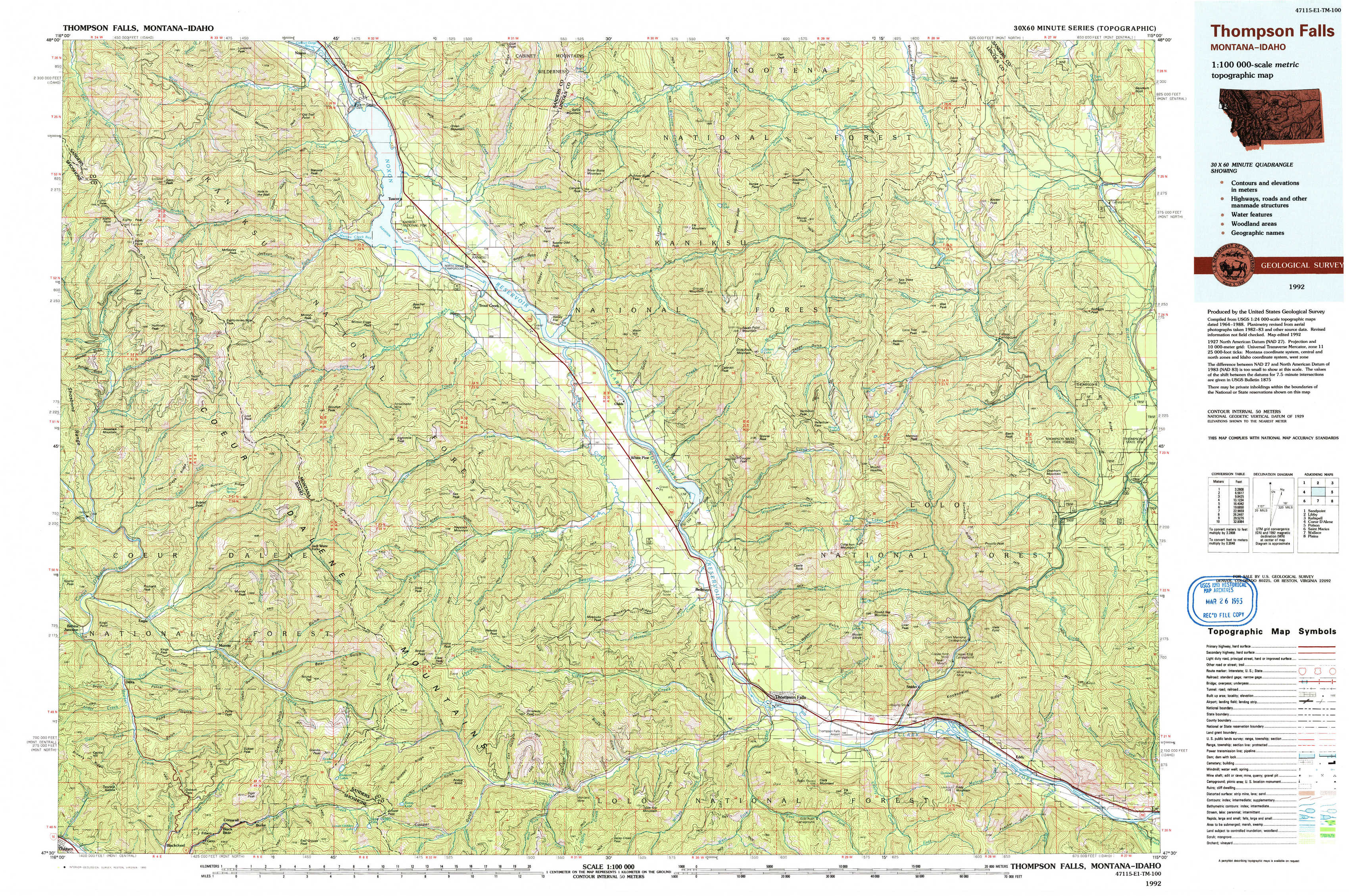
Thompson Falls Topo Map Montana
To zoom in, hover over the map of Thompson Falls
USGS Topo Map 47115e1 - 1:100,000 scale
| Topo Map Name: | Thompson Falls |
| USGS Topo Quad ID: | 47115e1 |
| Print Size: | ca. 39" wide x 24" high |
| Southeast Coordinates: | 47.5° N latitude / 115° W longitude |
| Map Center Coordinates: | 47.75° N latitude / 115.5° W longitude |
| U.S. States: | MT, ID |
| Filename: | 47115e1.jpg |
| Download Map JPG Image: | Thompson Falls topo map 1:100,000 scale |
| Map Type: | Topographic |
| Topo Series: | 30´x60´ |
| Map Scale: | 1:100,000 |
| Source of Map Images: | United States Geological Survey (USGS) |
| Alternate Map Versions: |
Thompson Falls MT 1992, updated 1993 Download PDF Buy paper map |
1:100,000 Topos surrounding Thompson Falls
Sandpoint |
Libby |
Kalispell |
Coeur D'Alene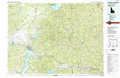 |
Thompson Falls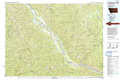 |
Polson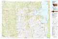 |
Saint Maries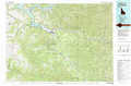 |
Wallace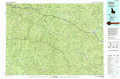 |
Plains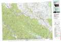 |
> Back to 47114a1 at 1:250,000 scale
> Back to U.S. Topo Maps home
1:24,000 Topo Quads covered by the spatial extent of this 100k map (Thompson Falls)
|
Gem Peak 
|
Noxon 
|
Noxon Rapids Dam 
|
Goat Peak 
|
Silver Butte Pass 
|
Miller Lake 
|
Mantrap Fork 
|
Bend 
|
|
Taylor Peak 
|
Bloom Peak 
|
Larchwood 
|
Trout Creek 
|
Seven Point Mountain 
|
Vermilion Peak 
|
Fishtrap Lake 
|
Richards Peak 
|
|
Prichard 
|
Murray 
|
Black Peak 
|
Helwick Peak 
|
Belknap 
|
Mount Headley 
|
Priscilla Peak 
|
Calico Creek 
|
|
Osburn 
|
Burke 
|
Thompson Pass 
|
Driveway Peak 
|
Table Top Mountain 
|
Thompson Falls 
|
Eddy Mountain 
|
Big Hole Peak 
|