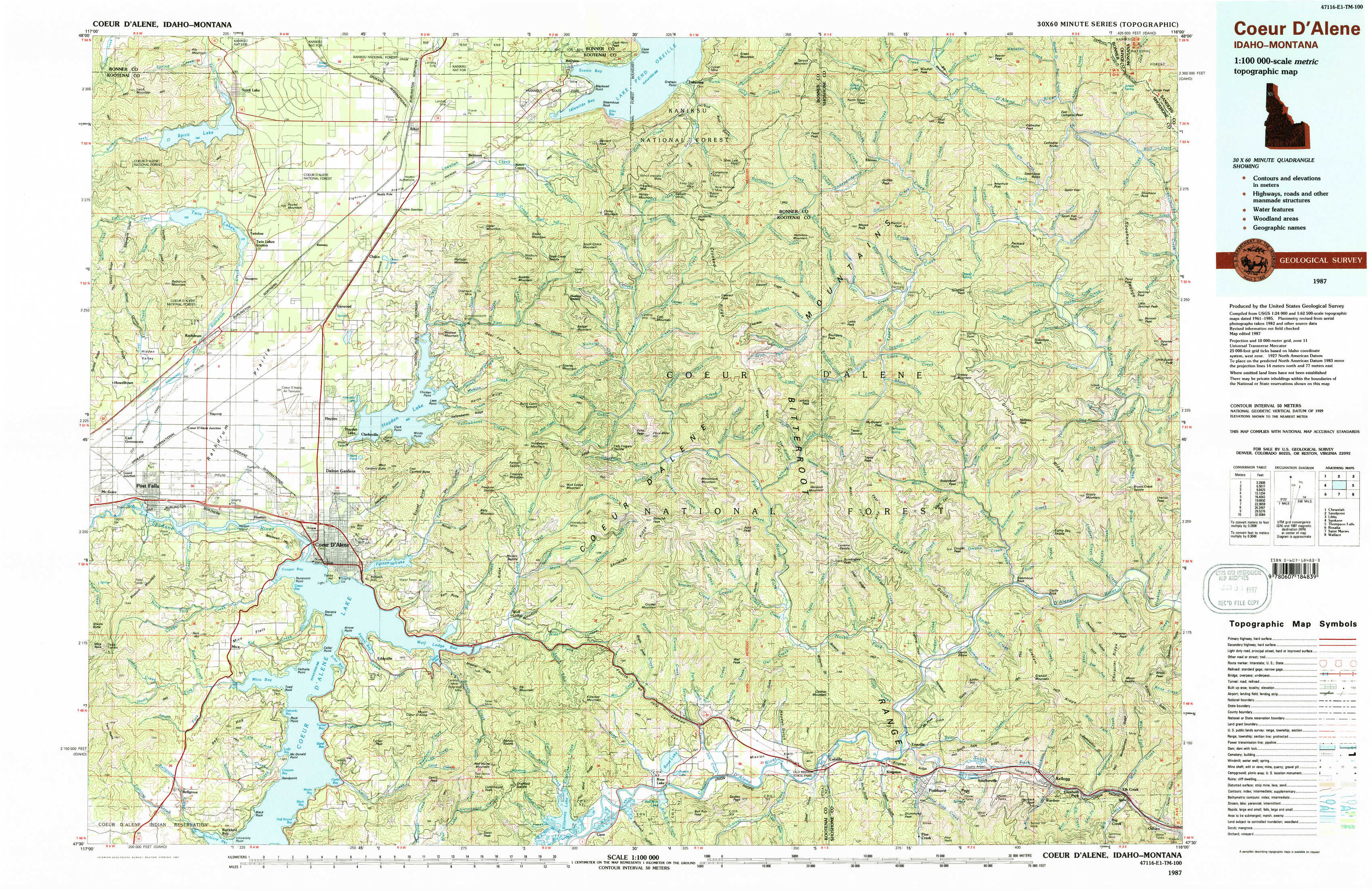
Coeur D'Alene Topo Map Idaho
To zoom in, hover over the map of Coeur D'Alene
USGS Topo Map 47116e1 - 1:100,000 scale
| Topo Map Name: | Coeur D'Alene |
| USGS Topo Quad ID: | 47116e1 |
| Print Size: | ca. 39" wide x 24" high |
| Southeast Coordinates: | 47.5° N latitude / 116° W longitude |
| Map Center Coordinates: | 47.75° N latitude / 116.5° W longitude |
| U.S. States: | ID, MT |
| Filename: | 47116e1.jpg |
| Download Map JPG Image: | Coeur D'Alene topo map 1:100,000 scale |
| Map Type: | Topographic |
| Topo Series: | 30´x60´ |
| Map Scale: | 1:100,000 |
| Source of Map Images: | United States Geological Survey (USGS) |
| Alternate Map Versions: |
Coeur D'Alene ID 1987, updated 1987 Download PDF Buy paper map Coeur D'Alene ID 1987, updated 1987 Download PDF Buy paper map Coeur D'Alene ID 1987, updated 1987 Download PDF Buy paper map |
1:100,000 Topos surrounding Coeur D'Alene
Chewelah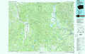 |
Sandpoint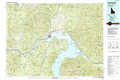 |
Libby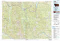 |
Spokane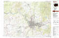 |
Coeur D'Alene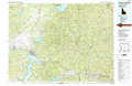 |
Thompson Falls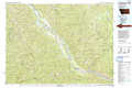 |
Rosalia |
Saint Maries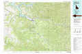 |
Wallace |
> Back to 47116a1 at 1:250,000 scale
> Back to U.S. Topo Maps home
1:24,000 Topo Quads covered by the spatial extent of this 100k map (Coeur D'Alene)
|
Spirit Lake West 
|
Spirit Lake East 
|
Athol 
|
Bayview 
|
Lakeview 
|
Faset Peak 
|
Cathedral Peak 
|
Jordan Creek 
|
|
Rathdrum 
|
Hayden 
|
Hayden Lake 
|
Spades Mountain 
|
Cataract Peak 
|
Lamb Peak 
|
Spyglass Peak 
|
Pond Peak 
|
|
Post Falls 
|
Coeur D'Alene 
|
Fernan Lake 
|
Wolf Lodge 
|
Skitwish Peak 
|
Bumblebee Peak 
|
Steamboat Creek 
|
Grizzly Mountain 
|
|
Rockford Bay 
|
Mica Bay 
|
Mount Coeur D'Alene 
|
Lane 
|
Rose Lake 
|
Cataldo 
|
Kellogg West 
|
Kellogg East 
|